| Altitude | 682 Feet |
| Trail Conditions | Well-maintained forest track followed by boggy uphill section |
| Difficulty | Low |
| Experience | 7/10 |
| Est. Time | 2-3 hours |
| Distance | 5 Miles |
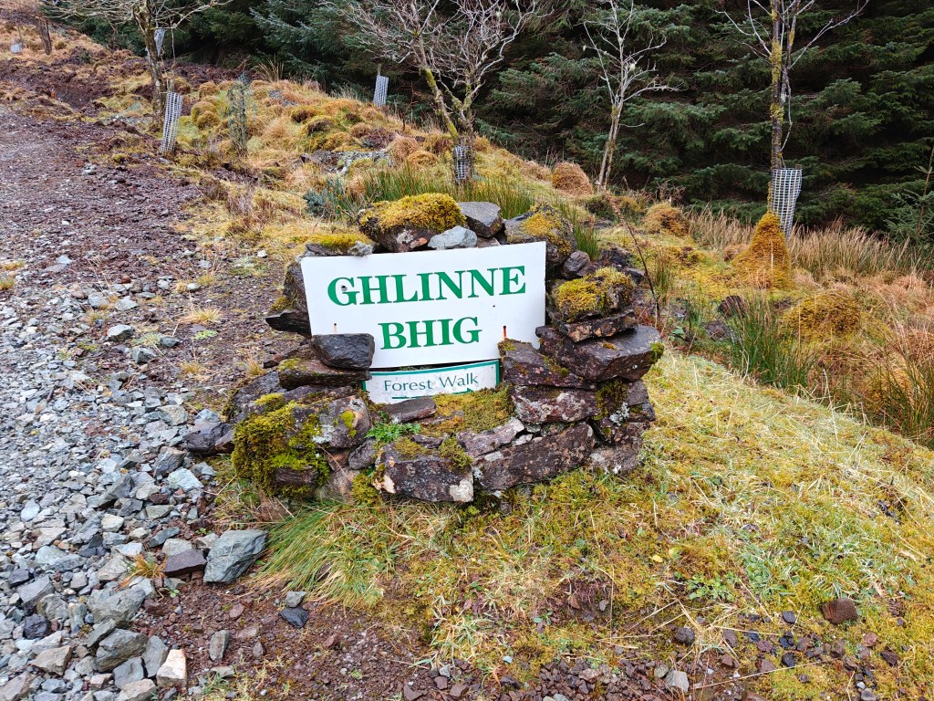
| Starting Location | Ghlinne Bhig Forest Walk Turnoff on B885 |
History of the Local Area
A notable archaeological discovery was made near Loch a’ Ghlinne Bhig during the construction of the forestry track in the late 1970s. Workers uncovered a carved wooden bowl preserved in the peat, which was later radiocarbon dated to around 20 AD.
What makes the find particularly interesting is that the bowl appears to be unfinished, offering a rare glimpse into early woodworking practices in the Highlands. Its presence suggests human activity in this area nearly 2,000 years ago, long before the landscape was shaped by modern forestry or crofting.
No further archeological activity has been performed in the area despite the finding, so who knows what else may be found in the future.
Gallery

The Walk
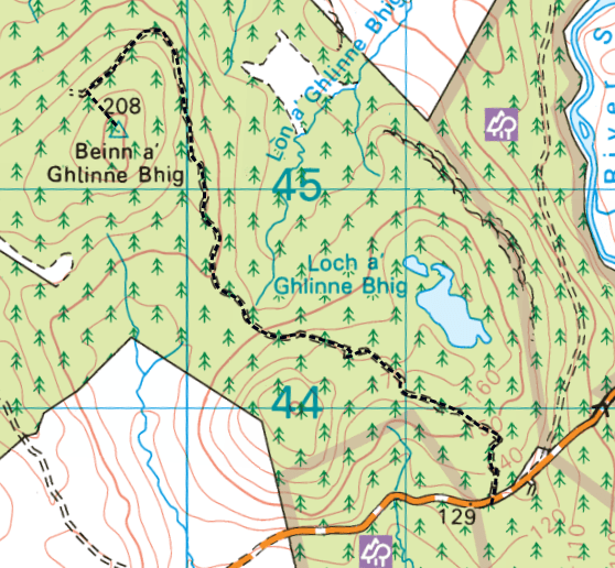
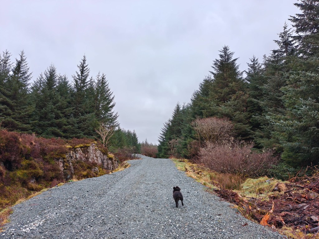
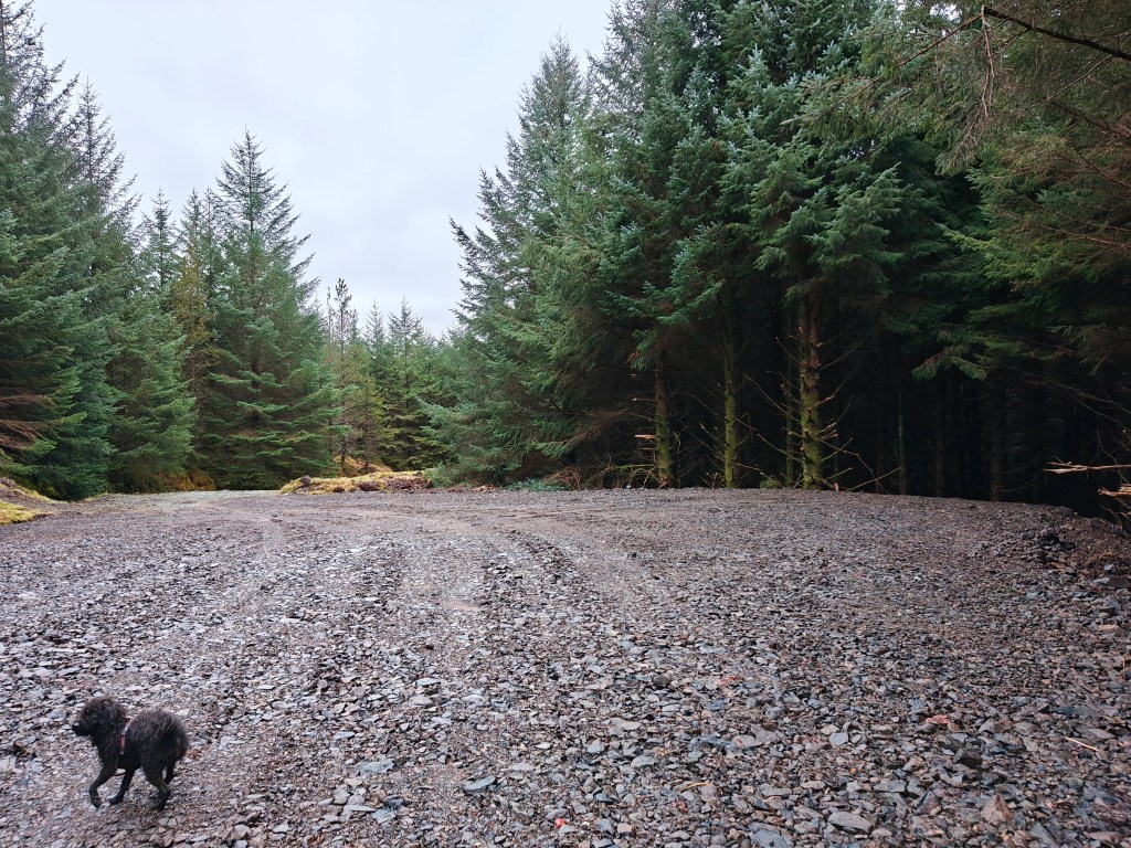
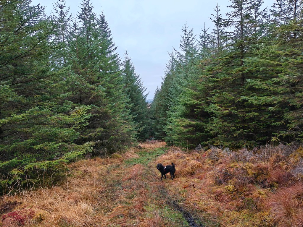
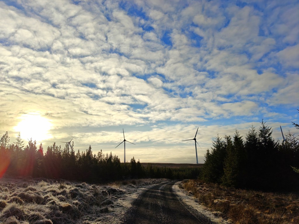
This walk begins at the large layby marking the entrance to the Ghlinne Bhig forestry track. The track itself is a well-maintained gravel road and provides an easy approach for much of the route. Park considerately in the layby, ensuring that access to the track and main road remains clear.
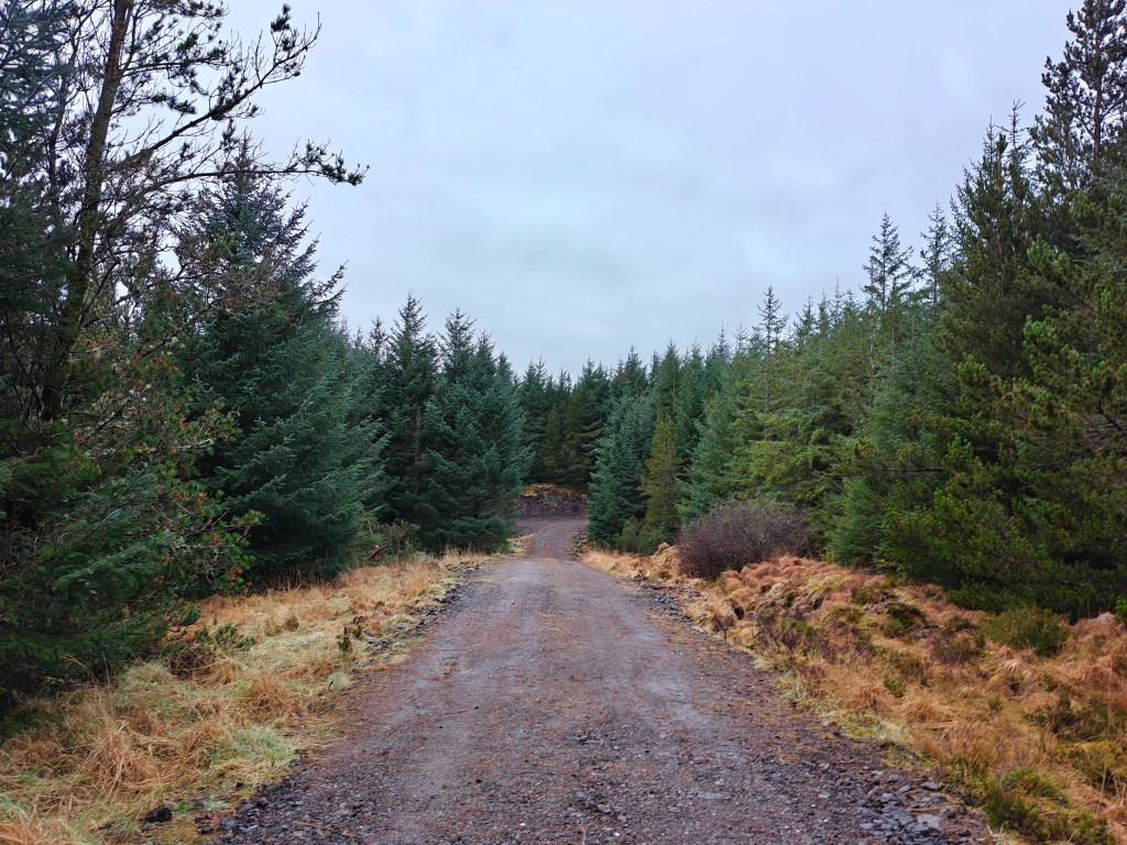
From the layby, pass through the large double gate and follow the gravel road as it winds its way through the dense spruce plantation. Navigation is straightforward here, with no junctions or turn-offs to worry about, allowing for a relaxed and steady start to the walk.
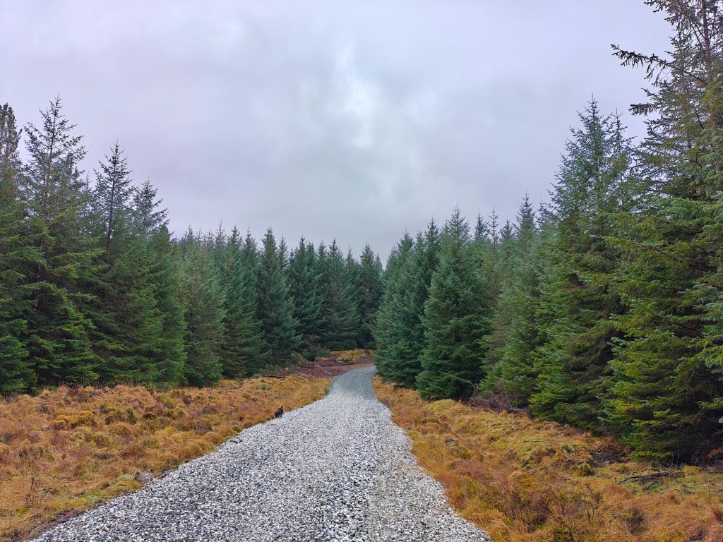
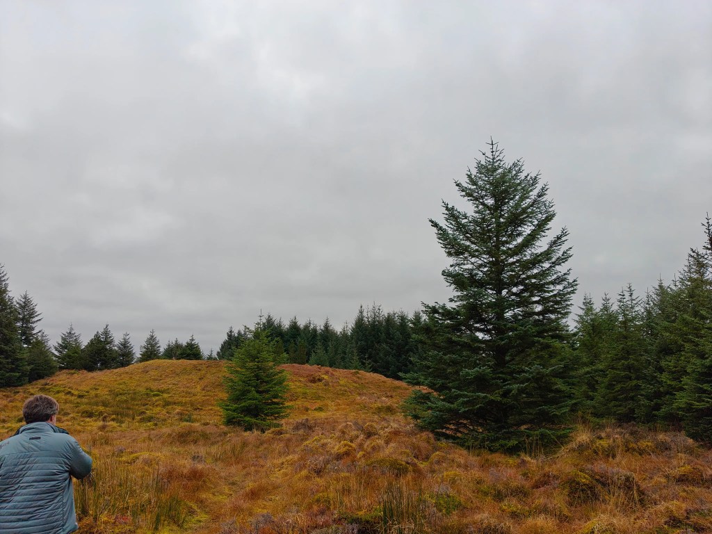
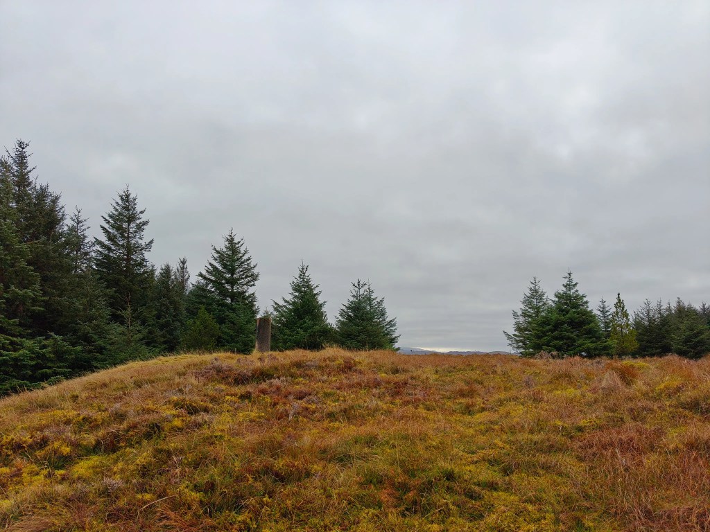
Continue along the track until you reach its end, where the forest begins to open out into a wider clearing. At this point, look to your left for a noticeable break in the trees. This marks the start of the final ascent.
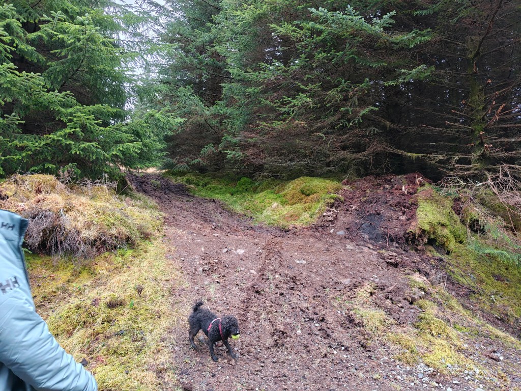
Leave the track here and make your way uphill through the gap in the trees. The ground quickly becomes rougher underfoot, with wet and boggy sections common, so careful footing is required. The climb is short but can feel tougher than expected due to the terrain.
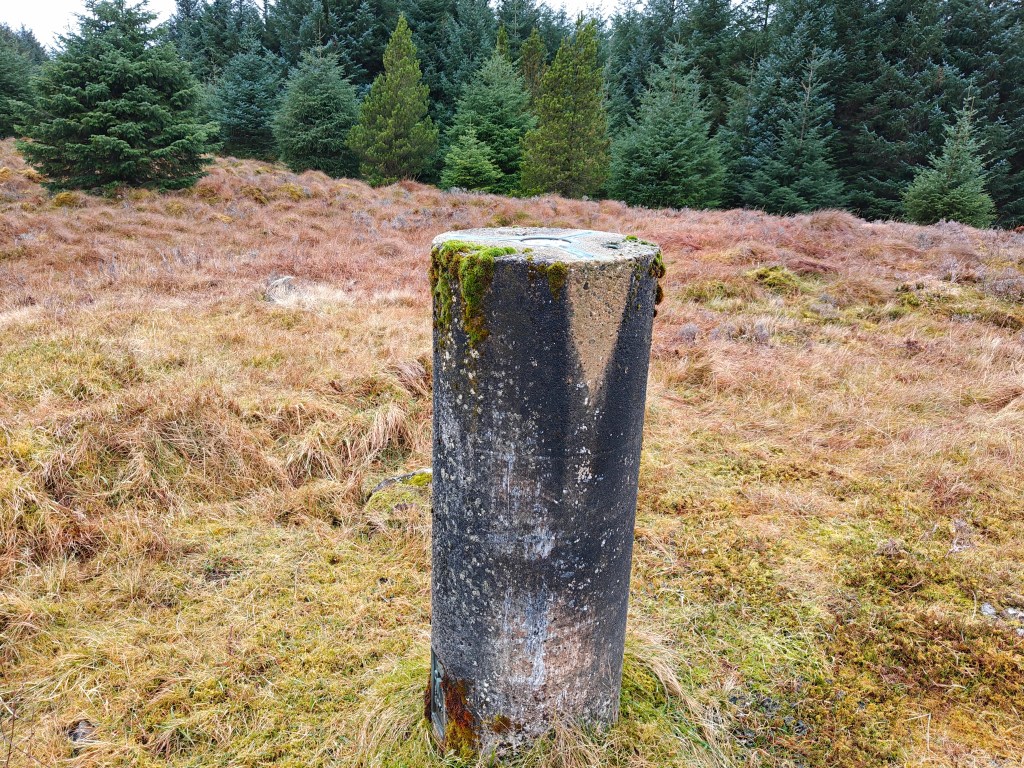
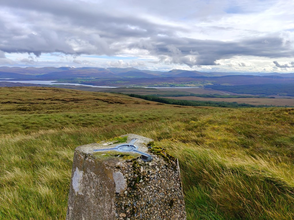
As you reach the summit plateau, the ground begins to level out. From here, turn right and walk a short distance across the open ground to reach the trig point, which clearly marks the highest point of the hill.
To return, simply retrace your outward route, descending back through the trees to rejoin the forestry track, and follow it all the way back to the layby.


Leave a comment