| Altitude | 931 Feet |
| Trail Conditions | Thick mossy ground covered by tall grasses |
| Difficulty | Medium |
| Experience | 4/10 |
| Est. Time | 2 hours |
| Distance | 2-3 Miles |
| Starting Location | Lochbay turnoff on the A850 |
History of the Local Area
The most well-known feature of the local area is the nearby Fairy Bridge, a small stone bridge that carries a long-standing association with Skye folklore. According to tradition, this is a place where the boundary between the human world and the “fair folk” is especially thin. It’s said that travellers would pause here to make a wish or leave a small token, hoping for good fortune or safe passage. The bridge has become something of a quiet pilgrimage spot, with coins, ribbons, and other offerings occasionally left behind by visitors. Please avoid leaving trinkets if you do visit.
The Fairy Bridge is also linked to the Clan MacLeod legends centred around Dunvegan Castle. One of the most enduring tales involves the Fairy Flag, a treasured heirloom said to possess protective powers. Local stories suggest that the MacLeod chiefs would encounter fairy beings in this area, and that the bridge itself marked a meeting point between worlds. Whether taken as folklore or cultural tradition, it adds a layer of atmosphere to the start of the walk.
The wider area also bears the marks of historic land use, with grazing, peat cutting, and small-scale agriculture shaping the terrain over generations.
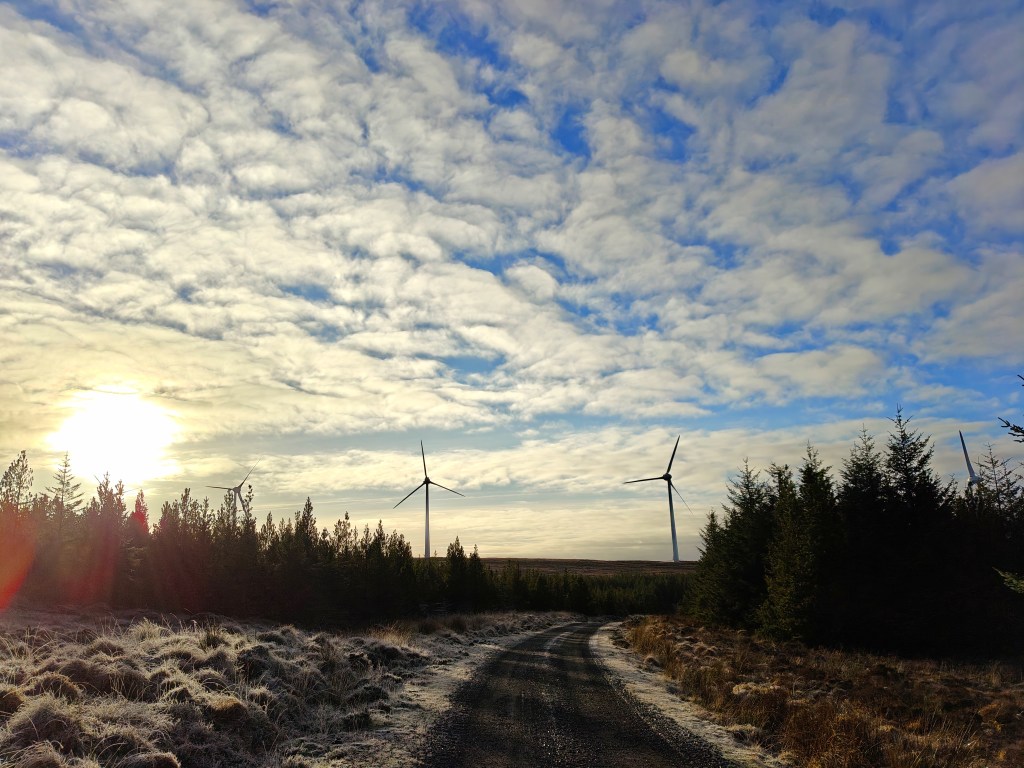
Gallery
The Walk
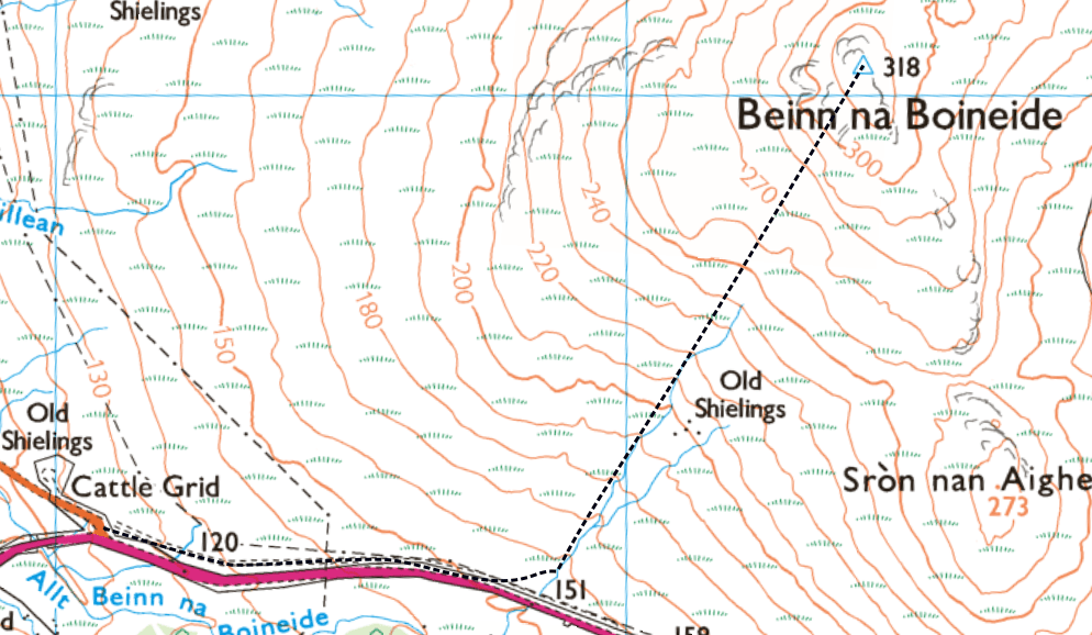
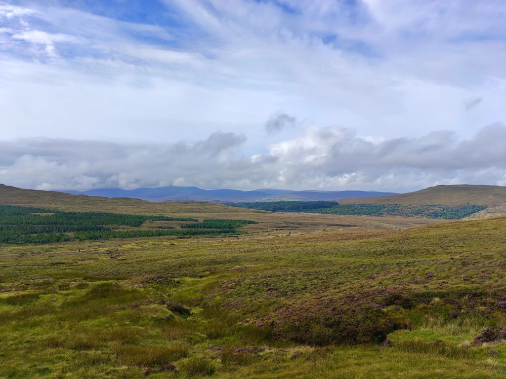
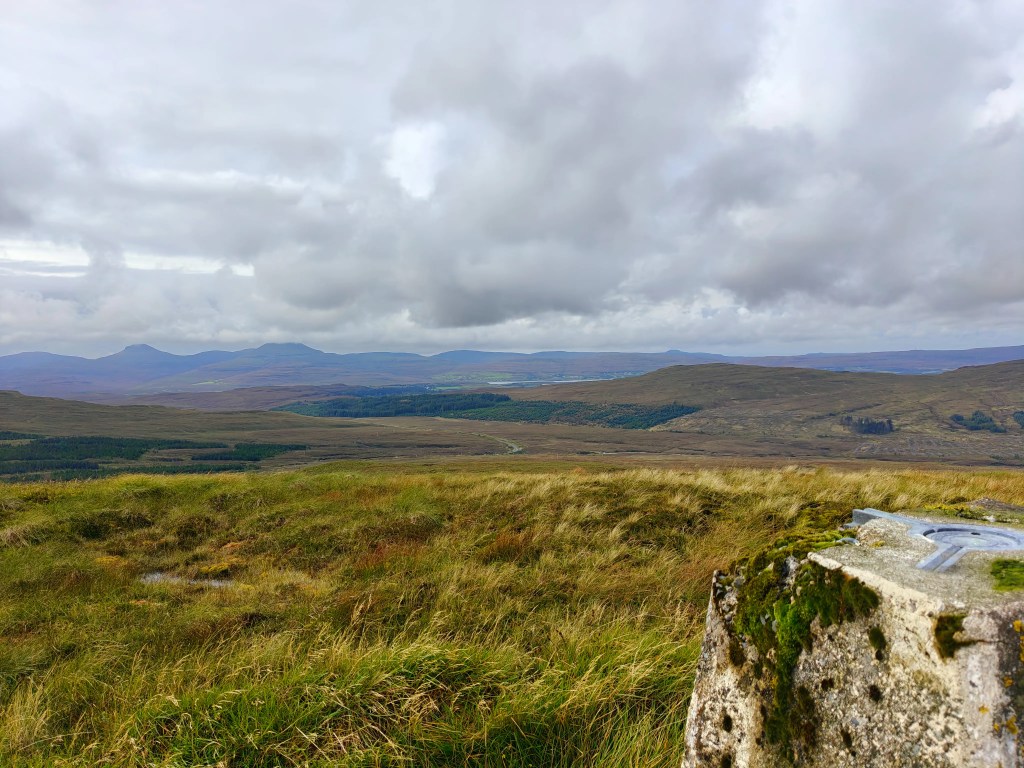
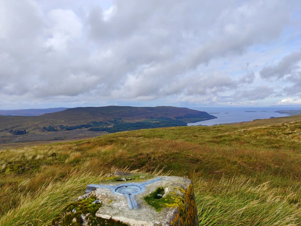
This walk to the trig point on Beinn na Boineide is a deceptively demanding outing across rough, energy-sapping ground. The terrain is dominated by deep, spongy moss, interspersed with bracken and long grasses, which can make progress slower than expected. While the gradient is generally gentle, the underfoot conditions make this feel like a much tougher walk than it first appears. Those who persist are rewarded with fine views towards the Beinn Breac peninsula to the north-west and across Edinbane Bay to the east.
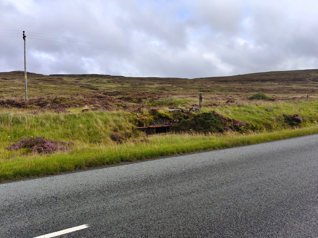
To begin the walk, park carefully near the large Lochbay turn-off from the A850, which leads to Waternish. This junction is easy to identify and sits close to the well-known Fairy Bridge. Take care not to block the junction or any passing places when leaving your vehicle.
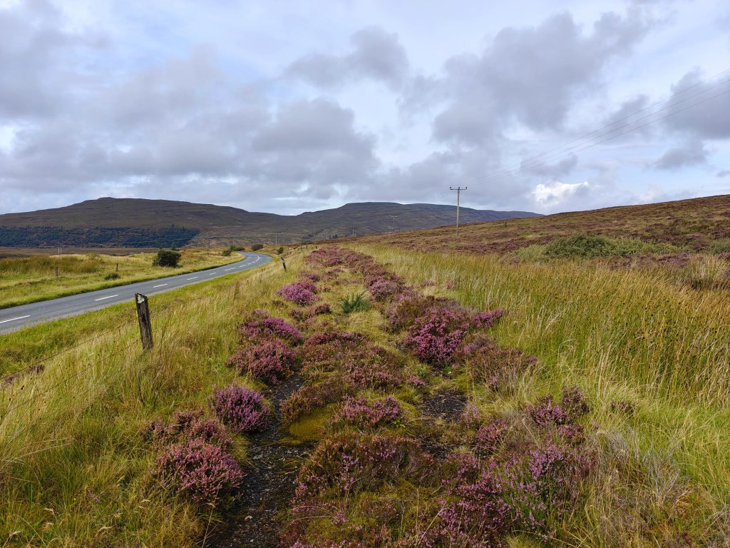
From the roadside, there are two main options for the initial approach. You can either cross the narrow drainage ditch on the east side of the road and step over the low fence to pick up the faint remains of the old road, now largely reclaimed by moss. This provides a quieter and more scenic start, running roughly parallel to the A850 for around half a mile. Alternatively, you can continue along the verge of the main road itself, keeping well clear of traffic, which can move quickly along this stretch.
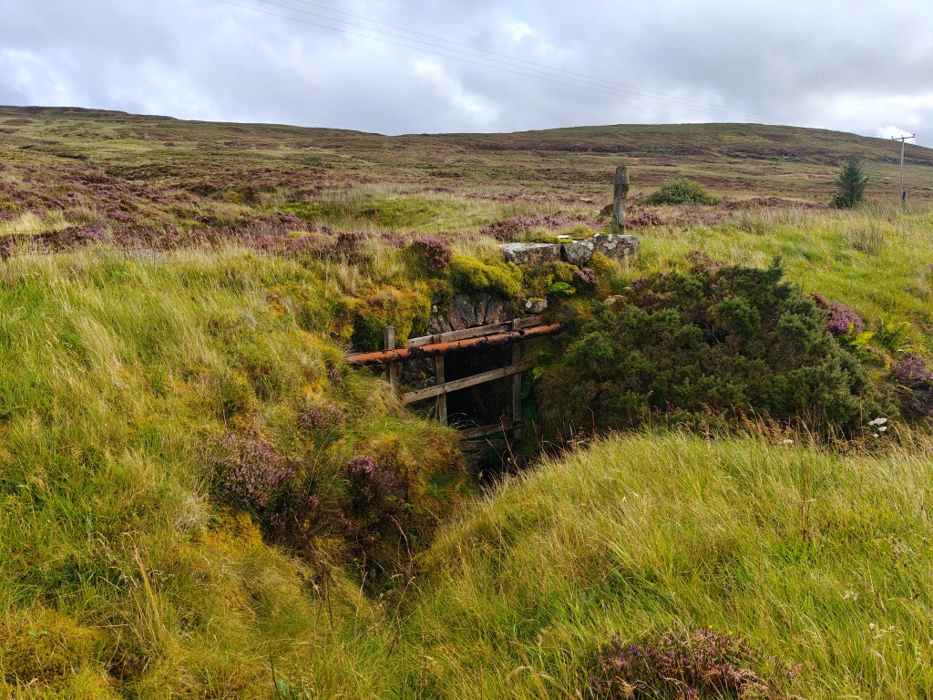
Whichever option you choose, keep an eye out for a small burn descending from the hillside above. This serves as a useful reference point and marks a good place to begin your ascent. From here, leave any tracks behind and head directly uphill, choosing the firmest ground where possible. The route is largely pathless, so careful footing is required to avoid hidden holes and particularly deep patches of moss.
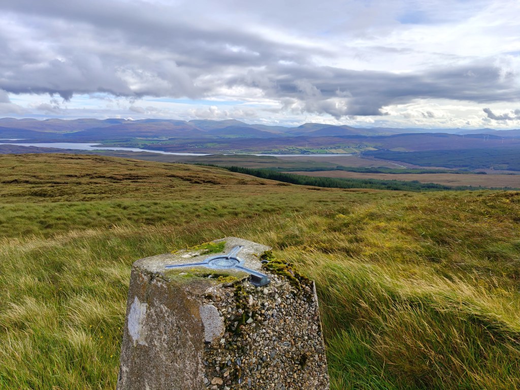
The climb remains steady rather than steep, gradually bringing you onto the broad summit plateau. Once on top, the trig point is easily located. Take some time to explore the edges of the plateau, where the best views open up across the surrounding landscape, offering a greater sense of height than the gentle ascent might suggest.
For the return, you can either retrace your outward route back to the burn and road, or take a more direct line downhill towards your starting point. In either case, maintain awareness of the ground conditions, as the uneven, boggy terrain can be just as challenging on the descent.


Leave a comment