| Altitude | 1601 Feet |
| Trail Conditions | Gravel track followed by moorland |
| Difficulty | Low |
| Experience | 8/10 |
| Est. Time | 3-4 hours |
| Distance | 5-6 Miles |
| Starting Location | Orbost Farm Car Park |
History of the Local Area
Healabhal Bheag which is the southern of the two hills that make up the Macleods Tables, roughly translates as simply Little Healabhal from Gaelic. “Healabhal” potentially has its roots in Old Norse or Gaelic however I can find no definitive source that covers it’s meaning.
Despite being widely referred to as the Macleods Tables, the story of how they came to be named doesn’t seem to be widely spread. It’s said that Alasdair Crotach, the eighth chief of the MacLeods clan was a boastful man who hated the thought of being overshadowed by others.
During a banquet at King James the IV’s in Edinburgh the guests were heard to compliment the grandeur of the table, the height of the vault and the sheer quantity of candlesticks brought out for the occasion. Upon hearing this Alasdair couldn’t help but get carried away, boasting that he had a larger table, brighter candles and even a higher ceiling back home on Skye.
Unfortunately for him, the King decided to he wanted to travel to Skye to witness such a marvel and so a plan was hatched. A grand feast was prepared on the flat plateu of Healabhal Mhor and the King led up the hill, upon arriving, Alasdair is quoted as saying “This is my table, your highness, is it not truly greater than yours? Do not our candles shine brighter than yours?”, the King is said to have replied “You are right, Macleod. But where is your vault?”, to which the reply came with Alasdair pointing to the Skye and exclaiming “God himself made it”.
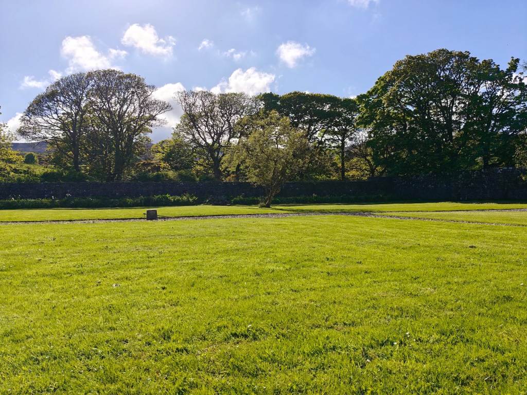
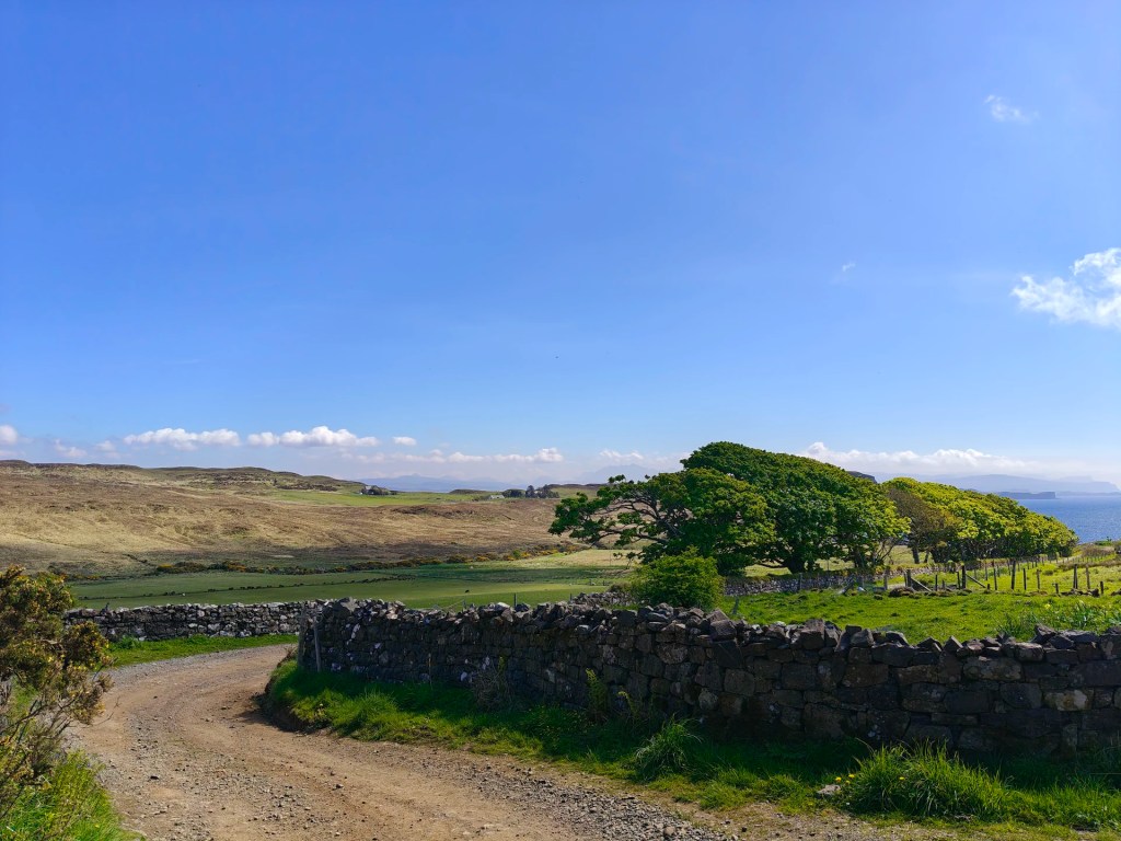
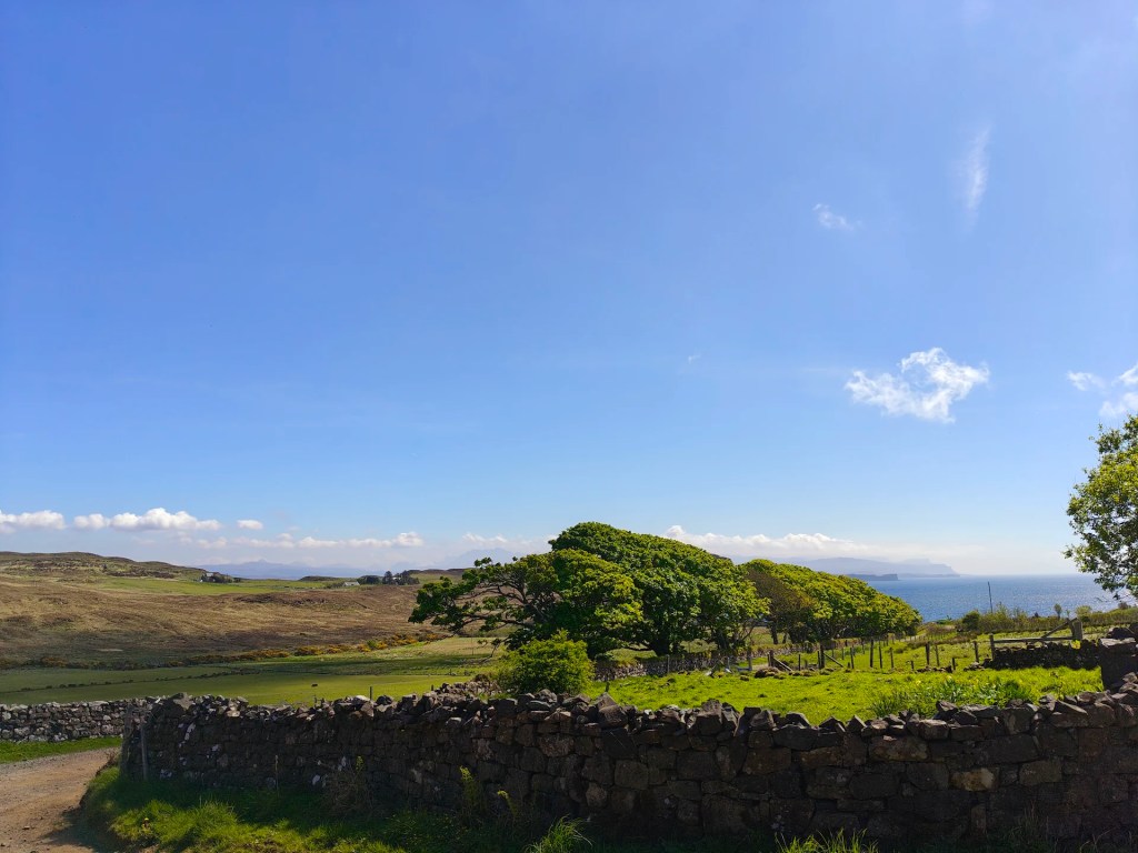
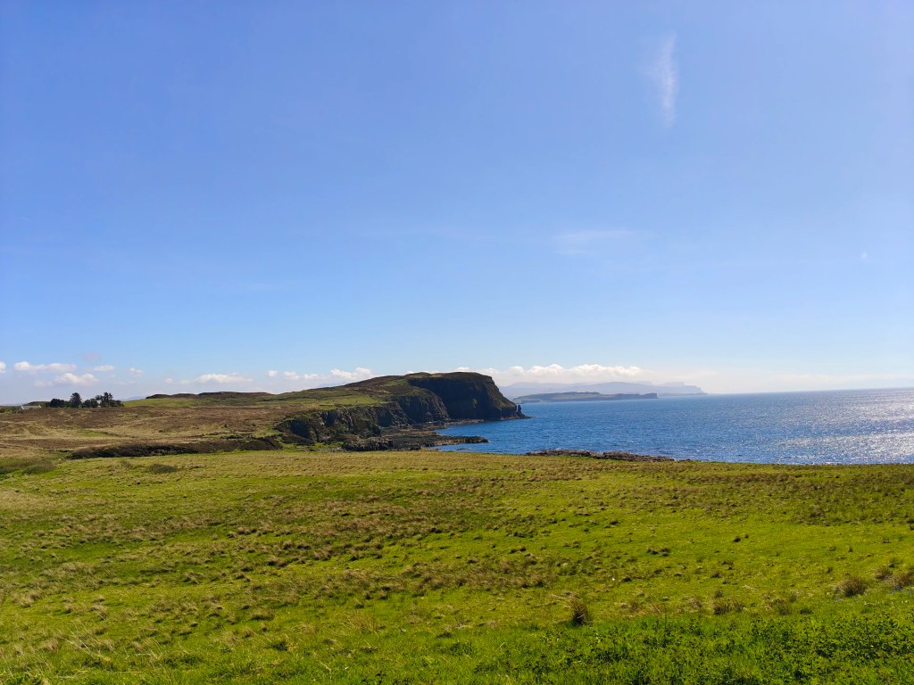
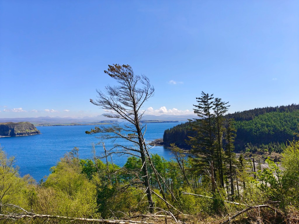
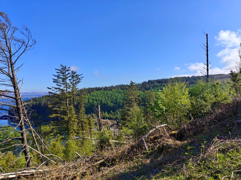
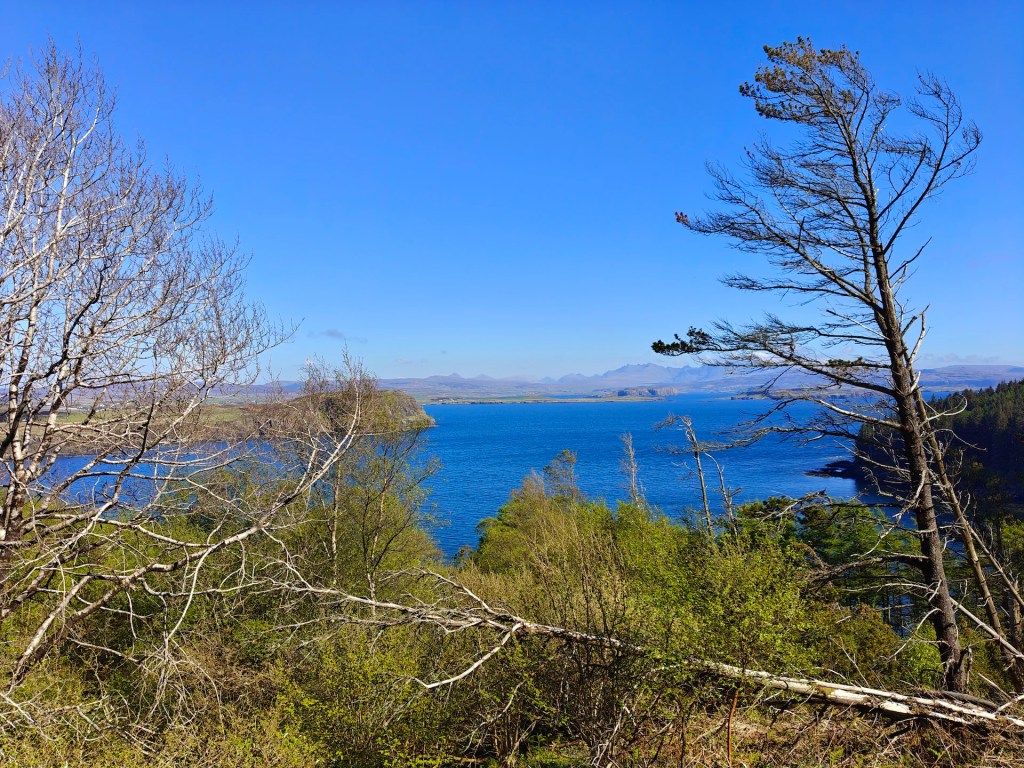
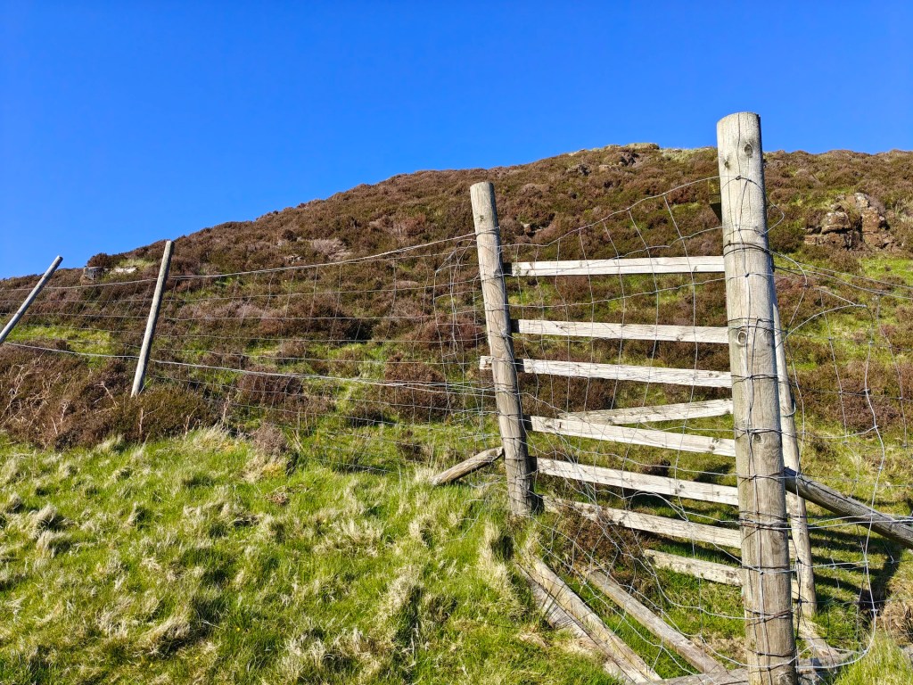
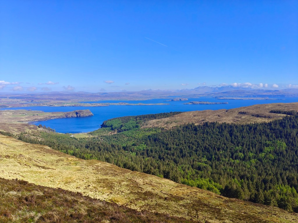
Gallery
The Walk
Begin by parking in the spacious car park near Orbost House, making sure to avoid blocking any active access routes around the courtyard.
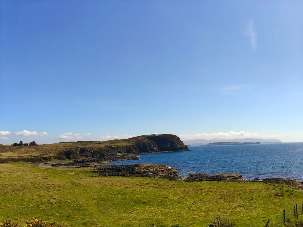
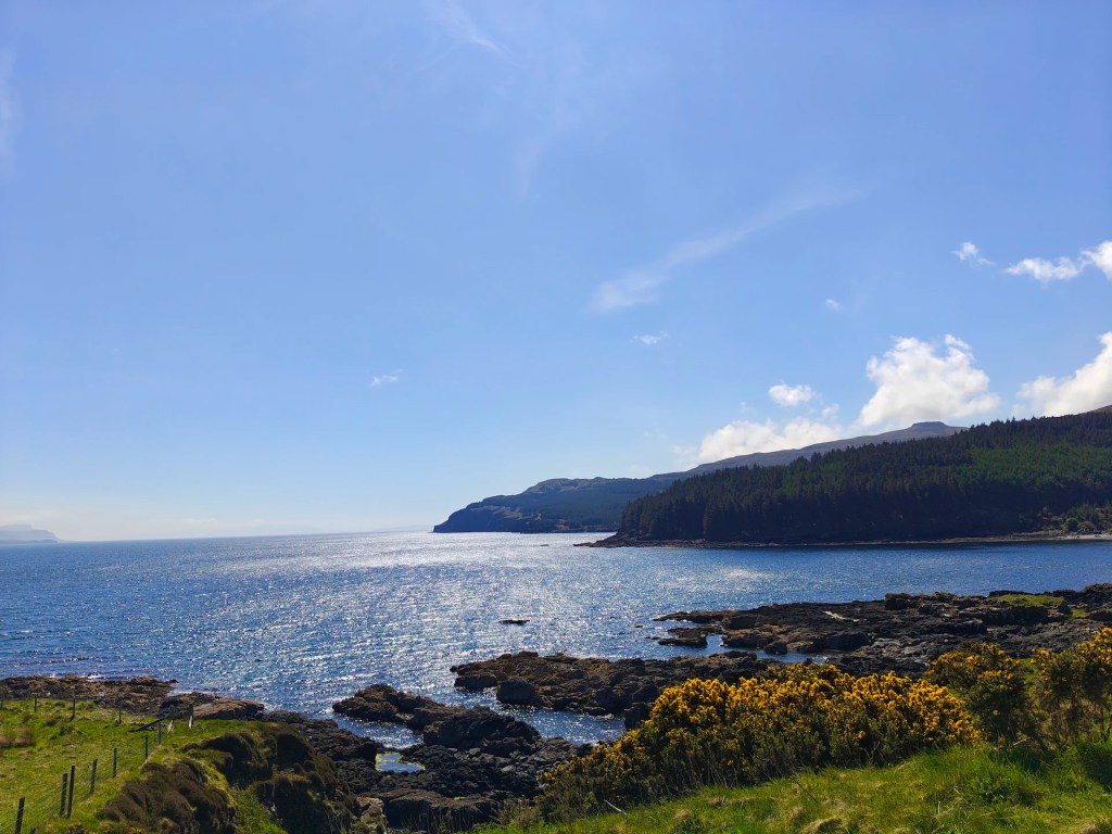
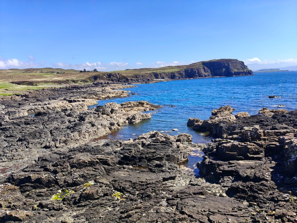
From the parking area, head towards the south-west corner and follow the sign for Rubha Idrigil (Idrigil Promontory in Gaelic). This single-track gravel road winds gently through scenic open fields for several miles. As you near the bay, the road curves to the right and begins to trace the shoreline, pause here to admire the rugged coastal landscape, shaped by ancient basaltic lava flows that lend the area its distinctive character.
A little before the road reaches the edge of the forestry, look out for a sign on your right marked “Orbost Estate Public Footpath to MacLeod’s Tables”. Follow this well-maintained path as it climbs steadily along the edge of the woodland and up the hill.
Keep the deer fence on your right and follow it westwards until you reach the corner, where you’ll find the remains of an old field gate, which has since been covered in new fencing. From here, identify a suitable point to cross the fence, several sections are already in disrepair and can be crossed easily. Take care not to cause any further damage.
Once over, you have two options:
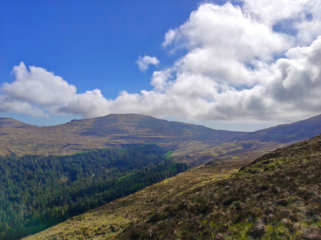
You can loosely follow the deer fence along a faint trail that runs for some distance before heading up the hill at a point of your choosing, or strike directly uphill to join a often poorly defined path leading toward An Chruachan, which is Gaelic for the little rounded hill, which describes the first minor summit on the ridgeline.
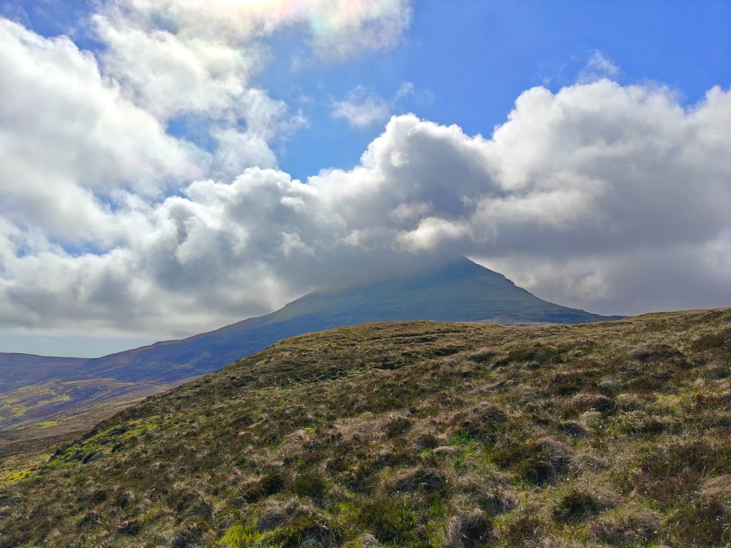
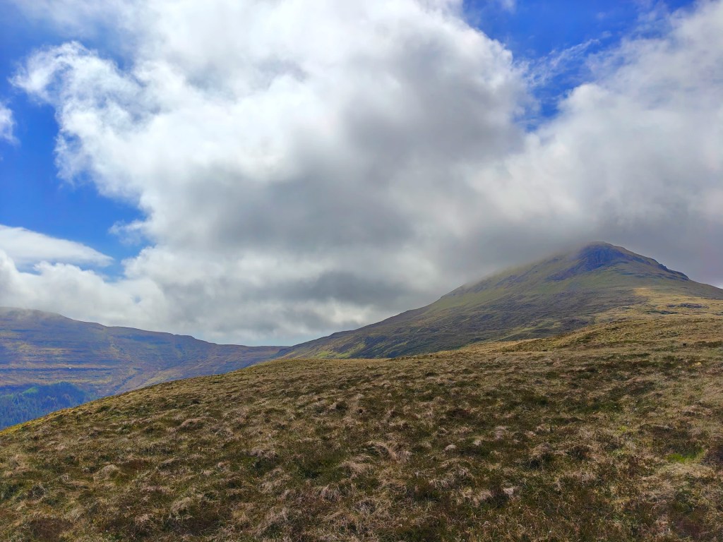
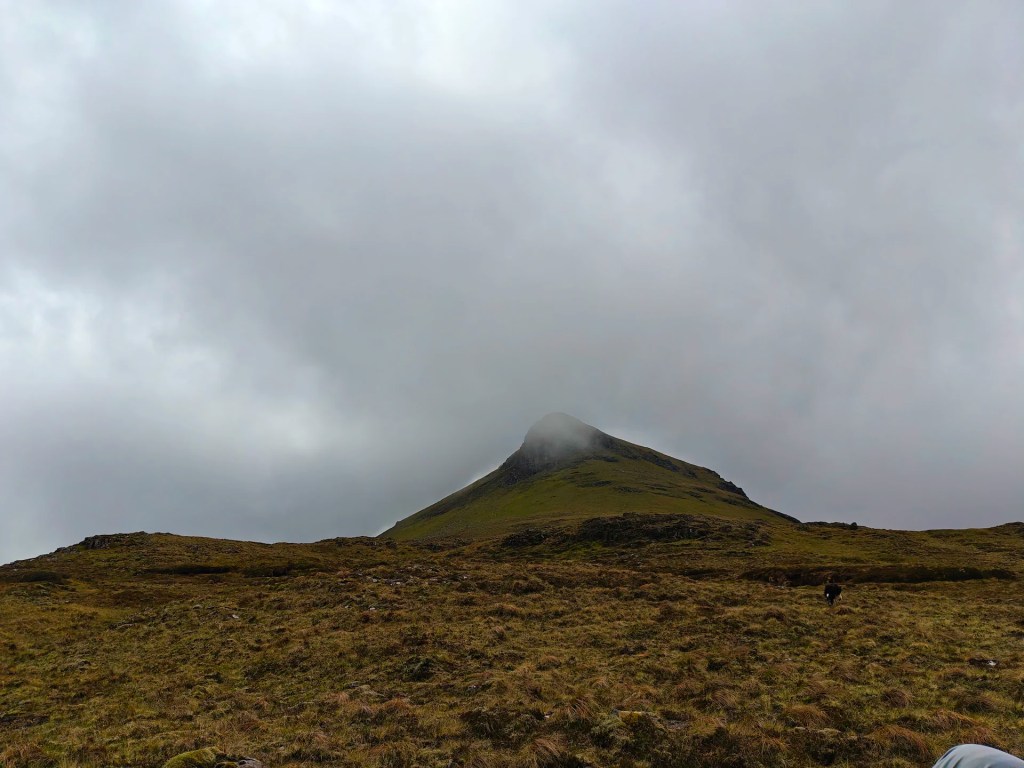
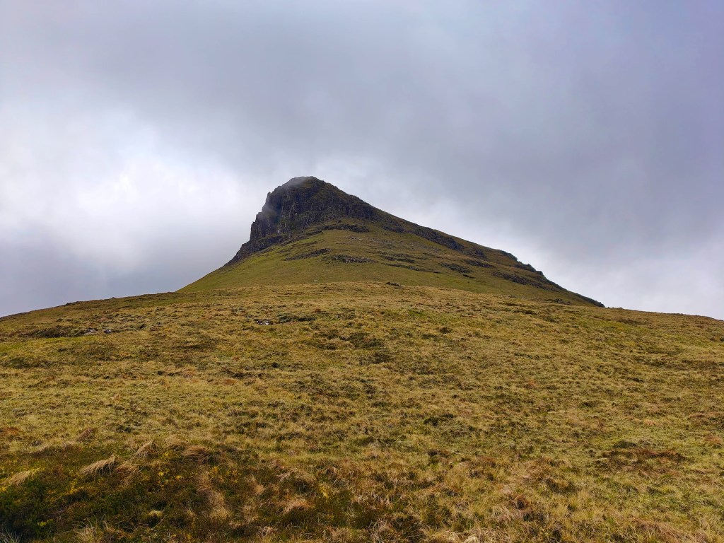
Upon reaching the top of the ridgeline via either method, continue westward along its broad back until you arrive at the foot of Healabhal Bheag, which means “Little Healabhal” in Gaelic. From here, a steady and occasionally steep scramble up grassy slopes will bring you to the summit plateau.
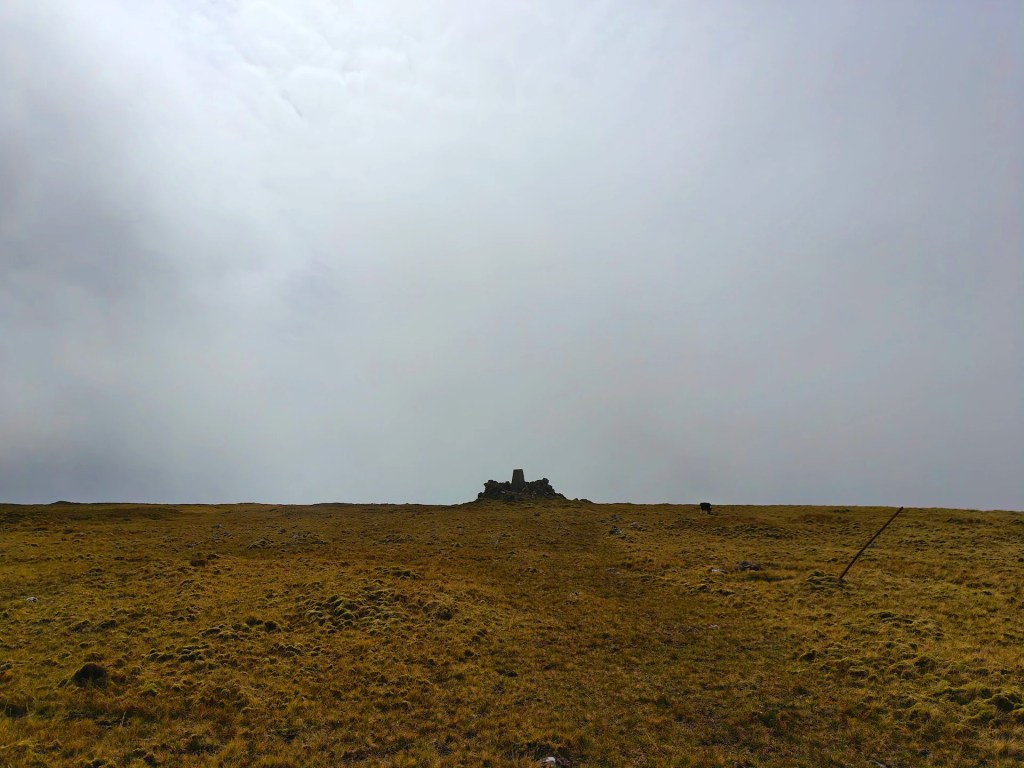
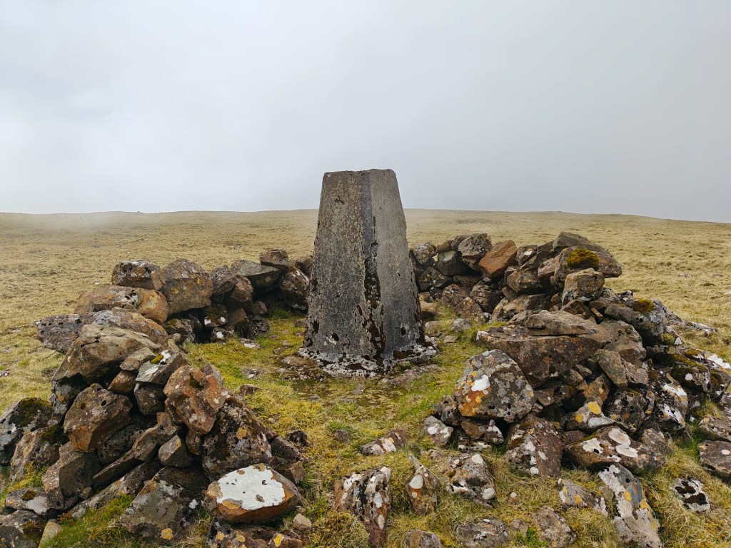
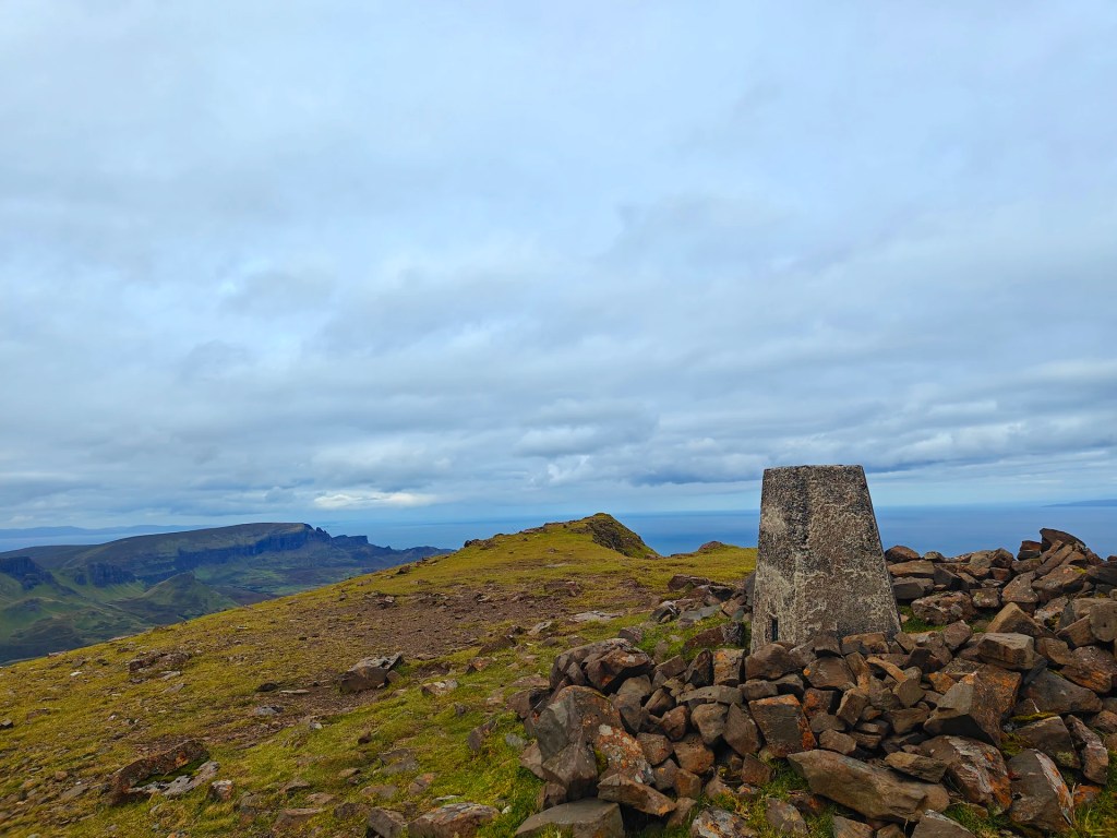
As you crest onto the summit, you’ll first encounter a small stone cairn, which is a perfect spot to stop for some lunch or get out of the wind. A little further on, the trig point comes into sight, marking the true summit.
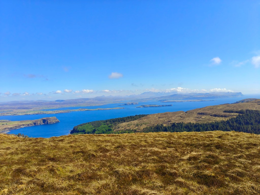
Once you’ve enjoyed the spectacular panoramic views, retrace your route carefully, particularly when descending the steep slopes of Healabhal Bheag.


Leave a comment