| Altitude | 928 Feet |
| Trail Conditions | Forestry track followed by often steep boggy hill |
| Difficulty | Low |
| Experience | 6/10 |
| Est. Time | 1-2 hours |
| Distance | 2-3 Miles |
| Starting Location | Forestry access on Moll Road |
Gallery


The Walk
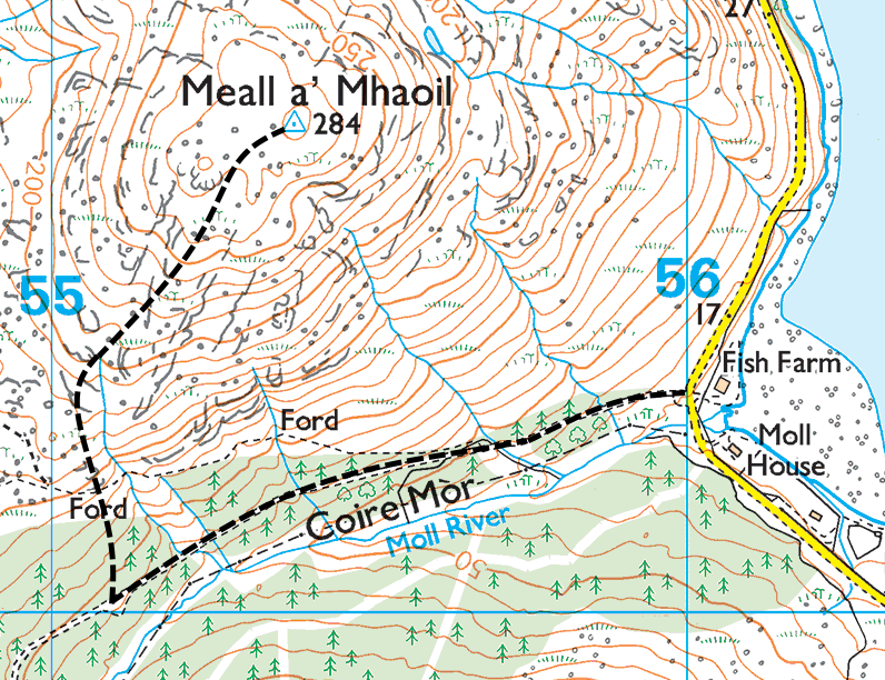
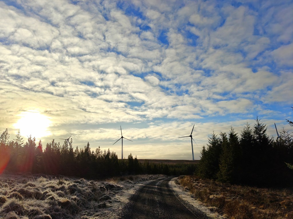
Park at the entrance to the forestry track heading West, which may be found near the end of the Moll road. Be sure to approach from the north by the golf course as a landslide has broken what was once a circular road and the Trig Point is no longer reachable from the south.
Pass through the gate and follow the forestry track as it makes it’s way steadily uphill, following parallel to the Moll River until you reach the end of the track. Unfortunately at the time of writing ‘forestry’ is a misnomer as it’s not long been cleared.
From here leave the track and head directly up the hill to the north, following the deep divets that make up the vast lazy beds found across the entire Coire Mòr (Large Corrie in Gaelic) valley until you reach the top of the somewhat poorly defined ridgeline. From here pick a trail to the north east as you ascend to Meall a’ Mhaoil (roughly translates as Bare Mound in Gaelic).
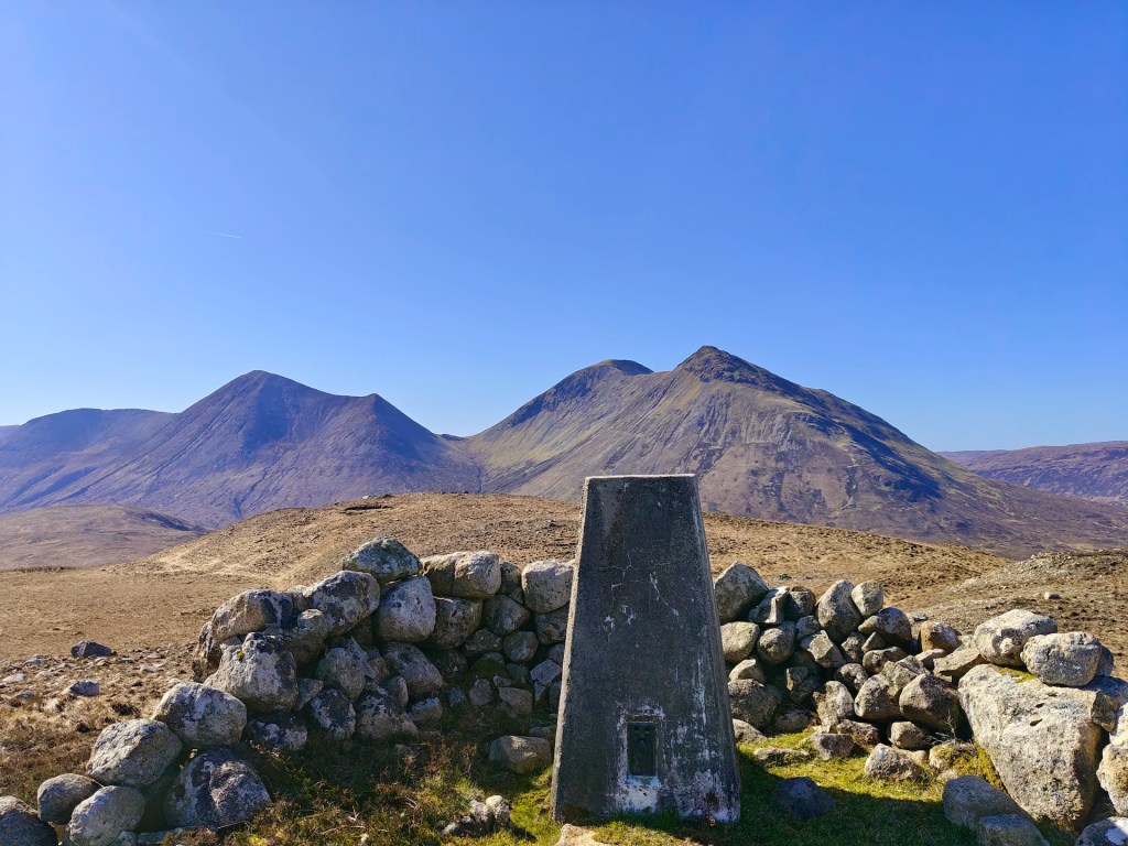
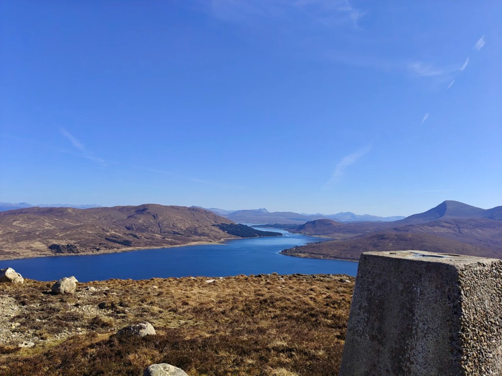
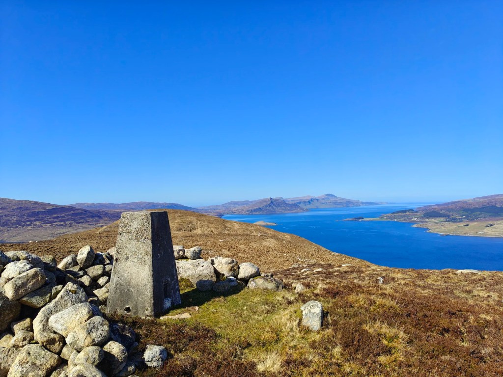
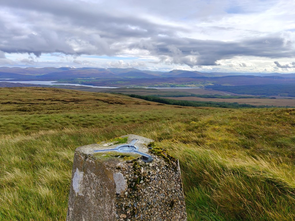
The Trig Point is well hidden as you approach but reveals itself once you reach the summit plateu.
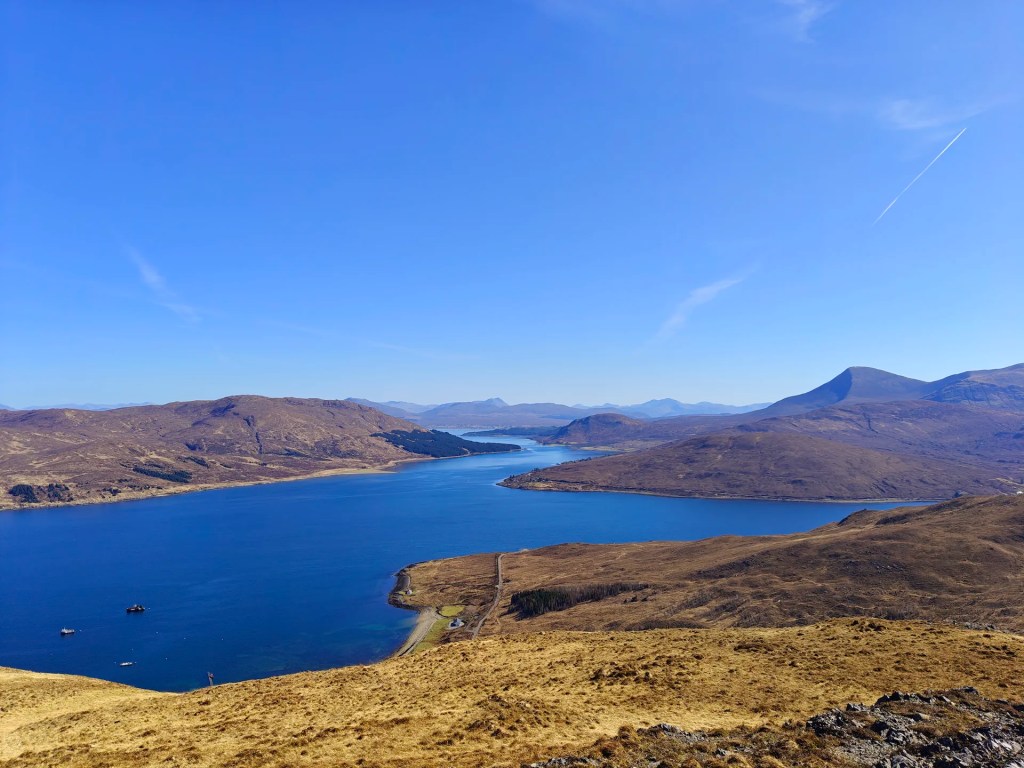
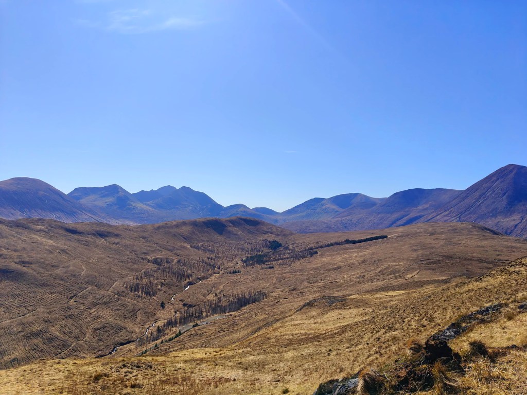
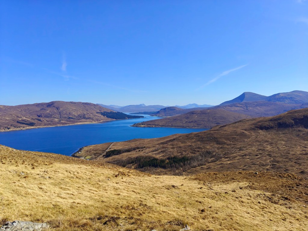
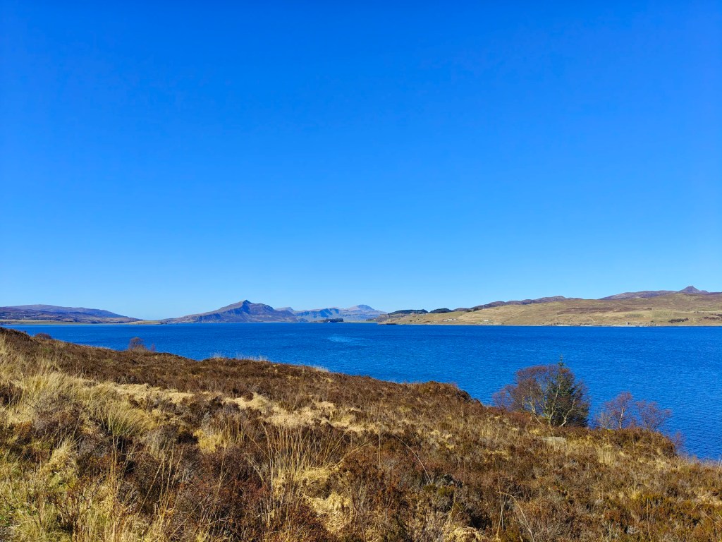
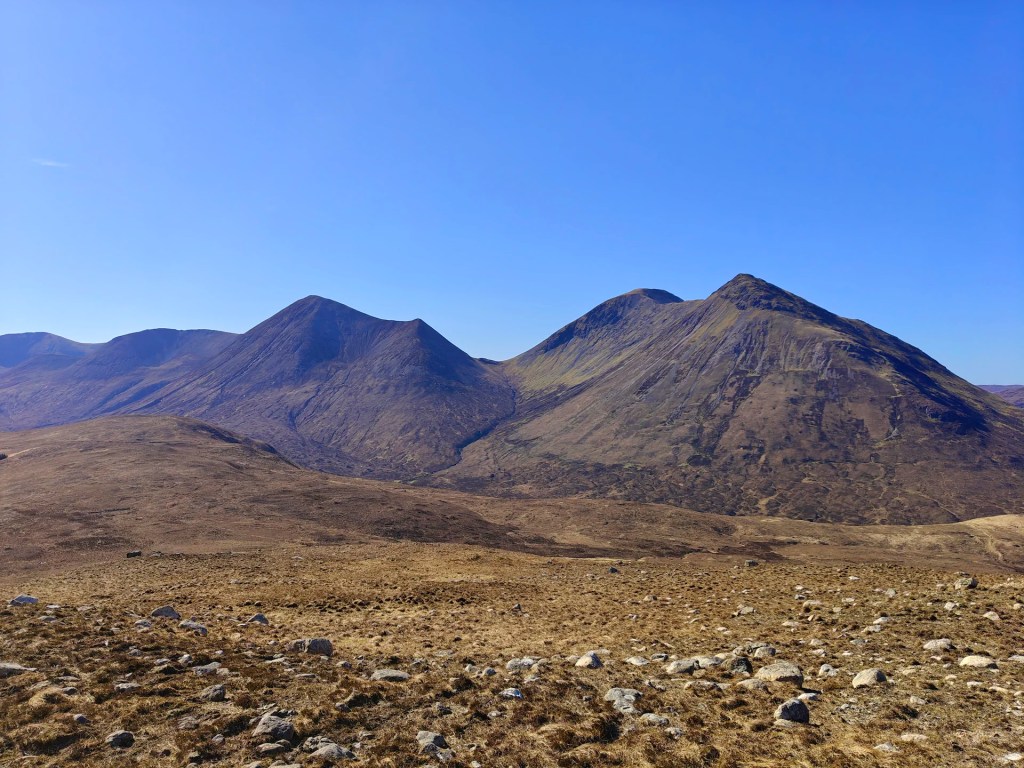
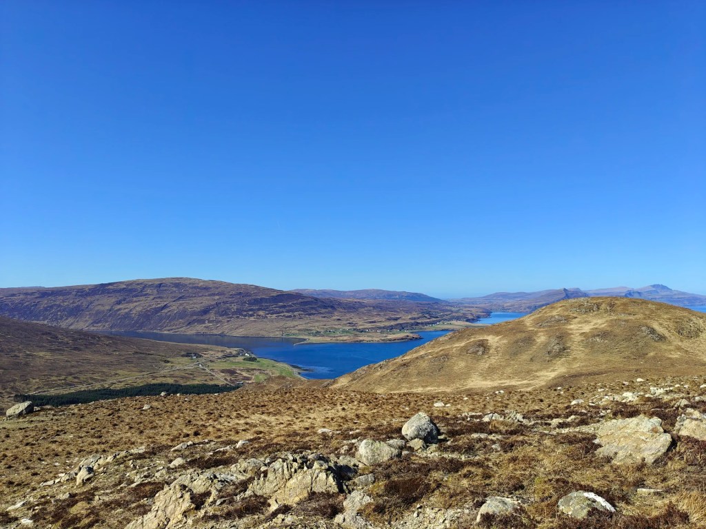
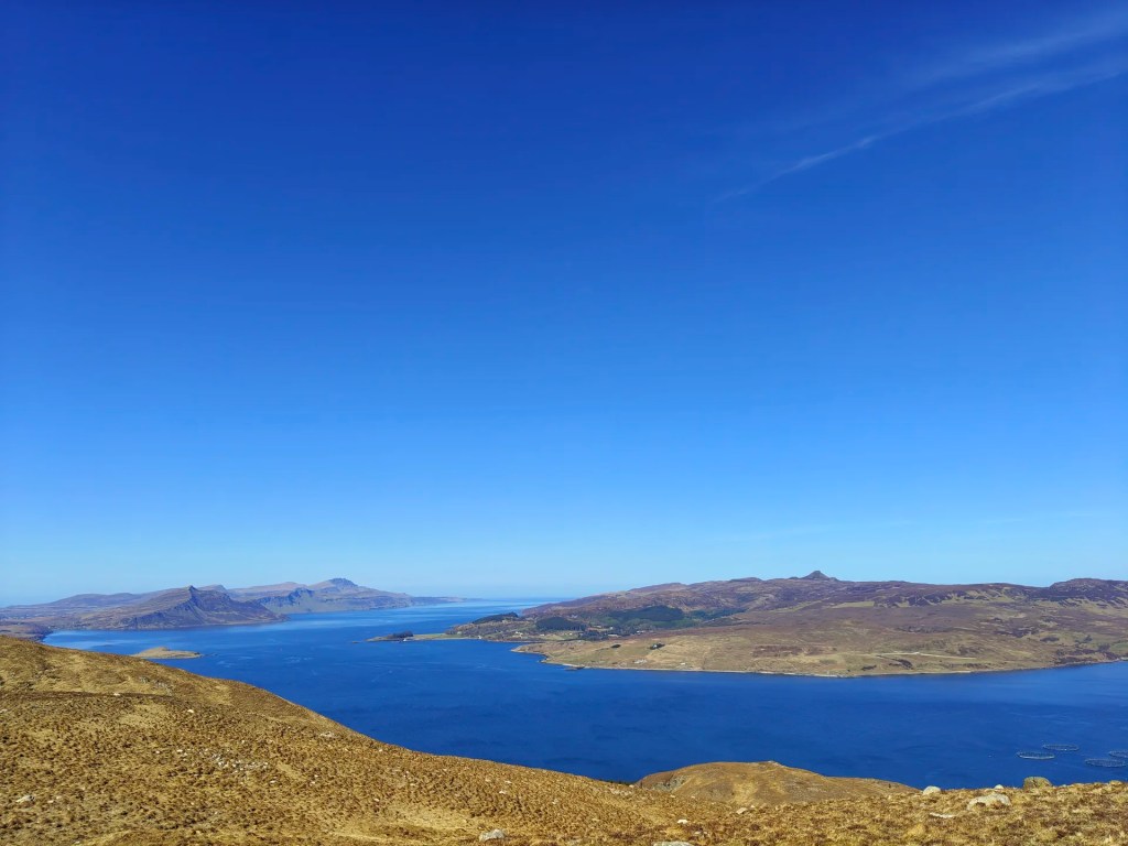
I strongly suggest walking around the entirety of the summit to properly take in the amazing views of Scalpay to the east, and the cuillins to the west.


Leave a comment