| Altitude | 354 Feet |
| Trail Conditions | Road followed by short grass uphill section |
| Difficulty | Low |
| Experience | 10/10 |
| Est. Time | 30 minutes |
| Distance | 1 Mile |
| Starting Location | Brothers Point Carpark |
History of the Local Area
According to local tradition, the graveyard known as Kilena was once the site of a large chapel, though no trace of the building remains today unfortunately.
While the chapel itself is a mystery, the surrounding area is rich in history and archaeology. Recent excavations have uncovered several fascinating finds, including an ancient scatter of stone tools made from quartz. These tools, slowly eroding from the banks of a nearby stream, were excavated during the Scotland’s First Settlers Project in 2000. Although exact dating is difficult, the site was estimated to have been in use between the Mesolithic and Late Bronze Age, roughly between 8000 BC and 551 BC.
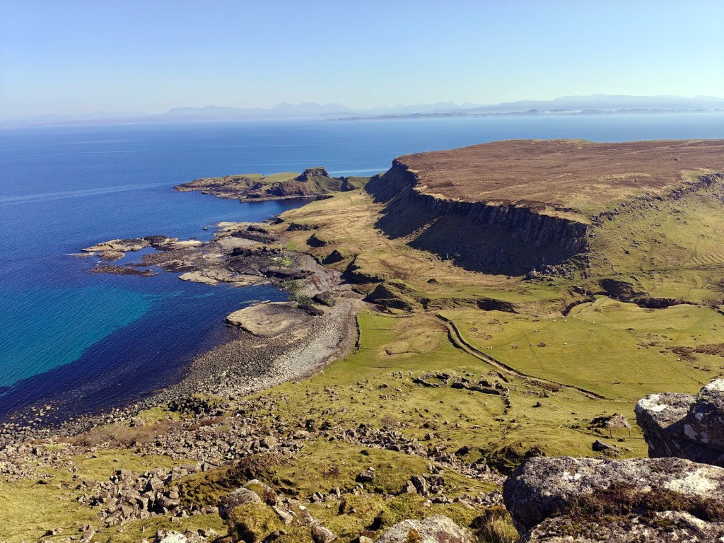
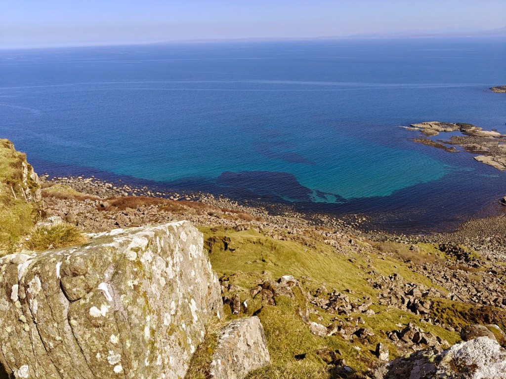
Today, Rubha nam Brathairean (Gaelic for Brothers Point) is a popular destination for visitors, but it has also been a busy settlement throughout history. Archaeologists have discovered the remains of an ancient dun (a type of fort) likely dating from the Iron Age (550 BC to 560 AD), along with what appears to be a later monastic settlement spread across the dramatic, easily defended headland. Remnants of old walls are still visible, and ancient middens filled with shells and animal bones offer a glimpse of life here long ago. Below, two grassy terraces bordered by crumbling stone banks once held small buildings, possibly monks’ cells. Today, the headland is a peaceful spot, with sweeping sea views and a deep sense of history.
Adding to the area’s remarkable heritage are the dinosaur footprints preserved in ancient mudflats near Port Earlish bay. Dating back around 170 million years to the Middle Jurassic period, these tracks were likely left by long-necked sauropods and sharp-toothed theropods, offering a rare window into Scotland’s prehistoric past at low tide.
Gallery
The Walk
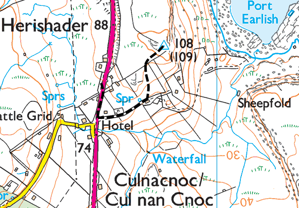
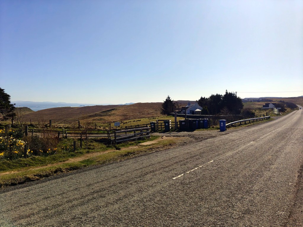
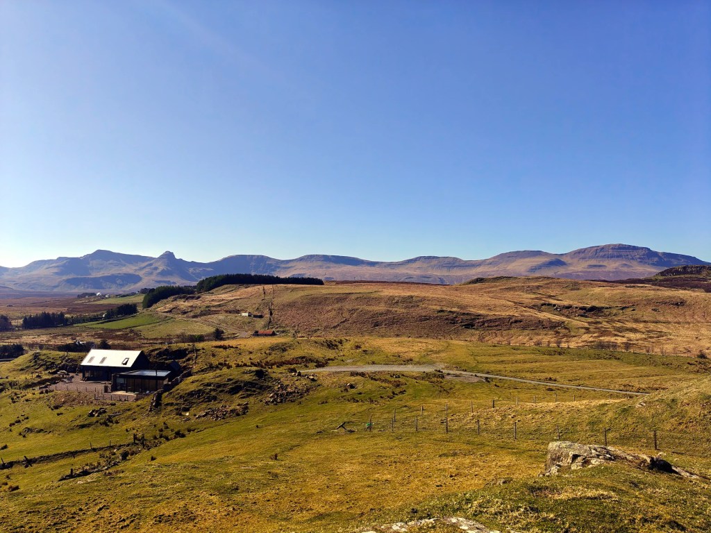
Park at the Brothers Point parking area, which is a large layby on the western side (left if approaching from Portree) of the main road through Culnacnoc. From here, walk south along the road for a short distance until you reach the first turning on your left.
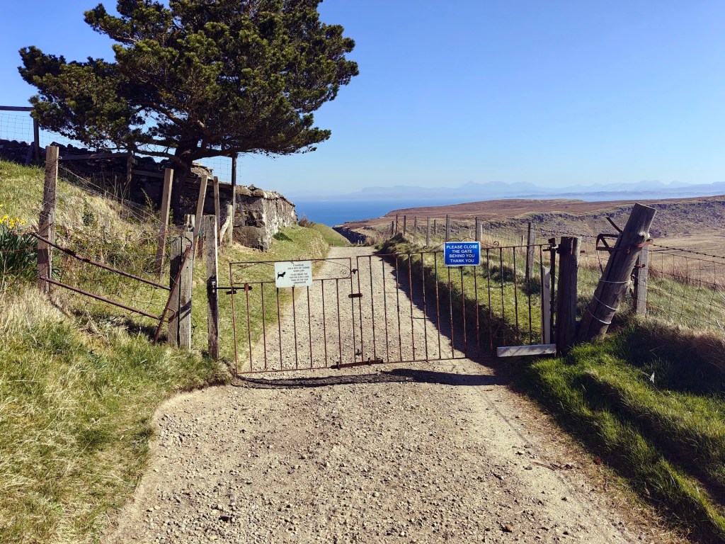
Take this turn and follow the single-track road until you come to a gate. Go through the gate and continue past the graveyard on your left, heading towards a house visible on the right. Just before the house, cross the fence on the left side of the track and head uphill to the northeast.
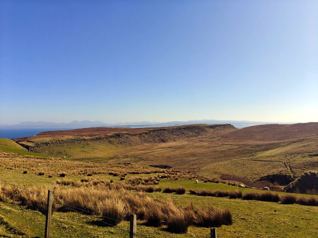
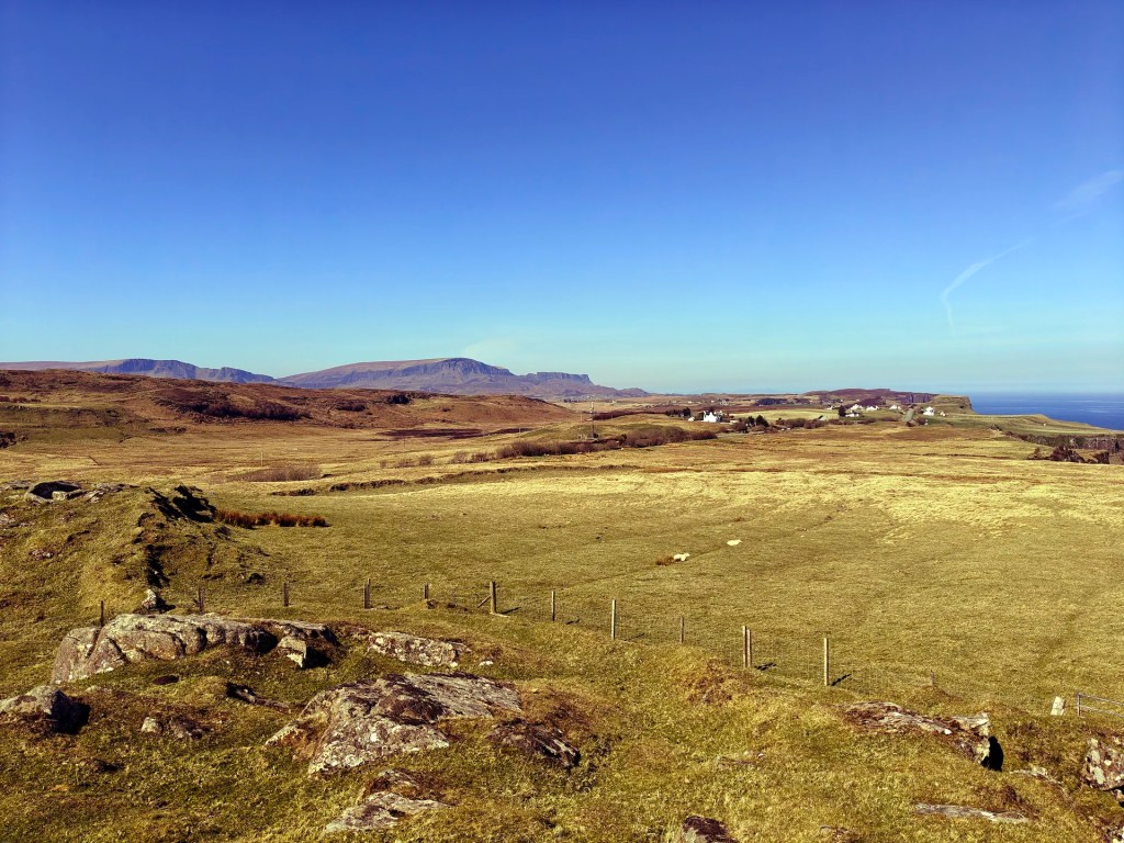
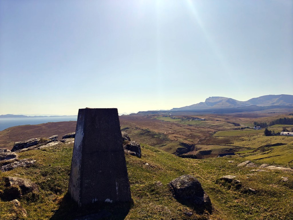
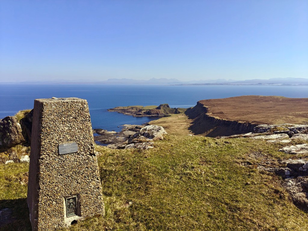
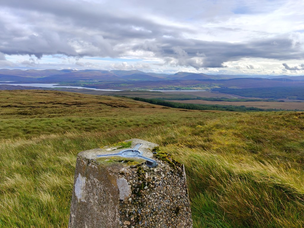
You’ll soon spot the trig point ahead, sitting on the highest point of the hill. It’s a fantastic place to pause and enjoy lunch with sweeping views of the famous Brothers Point to the east.
From here, you can retrace your steps back down the hill and follow the track towards Rubha nam Brathairean (Brothers Point in Gaelic). On the way, don’t miss the chance to see the famous dinosaur footprints preserved in the rocks around Sgeir Gharbh, meaning “rough skerry” in Gaelic.


Leave a comment