| Altitude | 954 Feet |
| Trail Conditions | Forestry road followed by intermittent bogs and sheep trails |
| Difficulty | Low |
| Experience | 8/10 |
| Est. Time | 2-3 hours |
| Distance | 3 Miles |
| Starting Location | Varragill River Lay-By on the A87 |
History of the Local Area
As you climb the moorland up to the Trig Point you pass a field Dike and several small stone ruins that may have been small dwellings or more likely simply shelter for the shepherds tending to Sheep in the hills, especially taking into account the name of the nearby stream.
Otherwise there’s little record of historical activity in the direct area, with the nearest long-term settlement being the Varragill Township, which is located 2 miles to the north of the beginning of the trail, made up of around 12 homes, with some exceeding 60ft in length. The township was post-medieval, dating from sometime after 1560 AD. It was recorded as being entirely depopulated by 1877, likely as a result of the Highland Clearances.
Gallery


The Walk
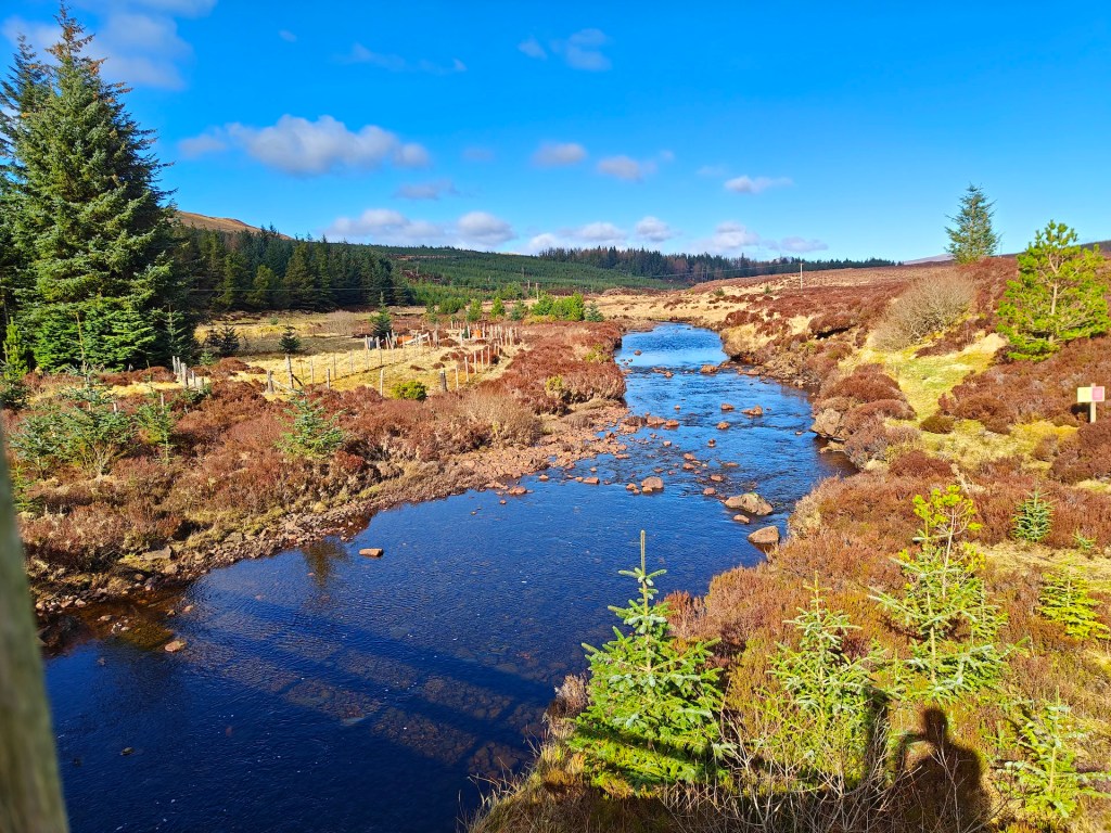
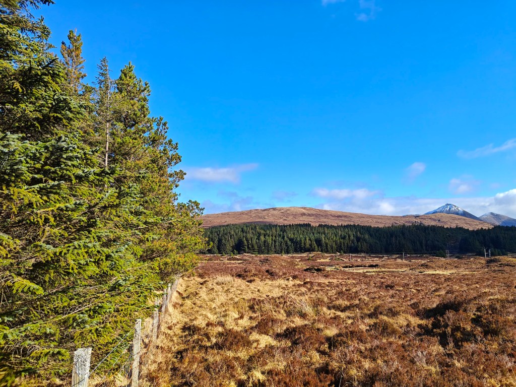
This walk begins at the Varragill River Lay-by, located about two-thirds of the way between Portree and Sligachan. There is ample parking here. Once parked, walk down to the bridge that crosses the Varragill River.
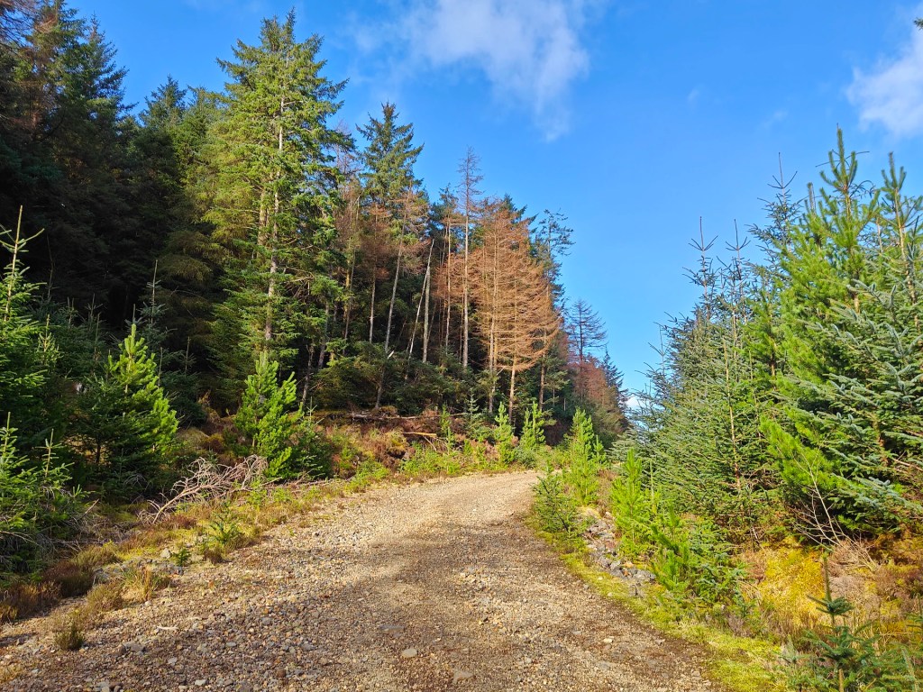
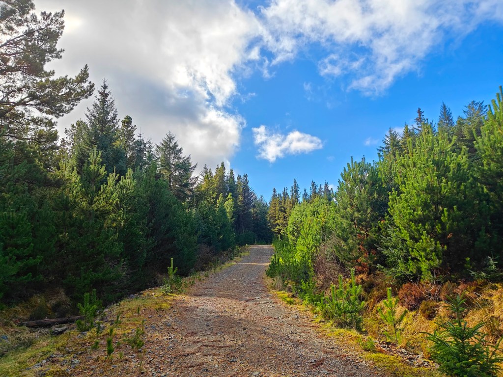
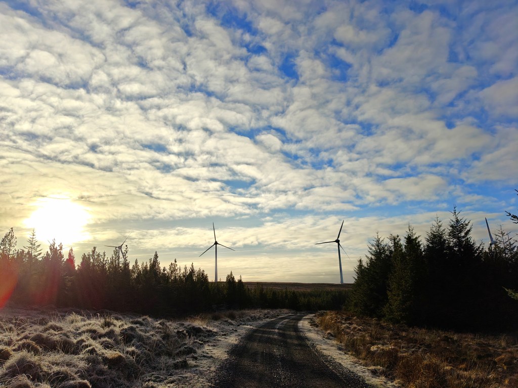
Before crossing the bridge, look for a gate in the fence on the left-hand side. Pass through the gate and follow the forestry road uphill. Shortly after passing a small campsite on your right, you’ll reach a clearing on your left.
From here, follow the treeline south, staying close to avoid the boggiest areas. Continue until you reach the perimeter fence of the plantation. Carefully cross over the fence, ensuring you don’t cause any damage, then follow its outer edge westward until you reach the corner.
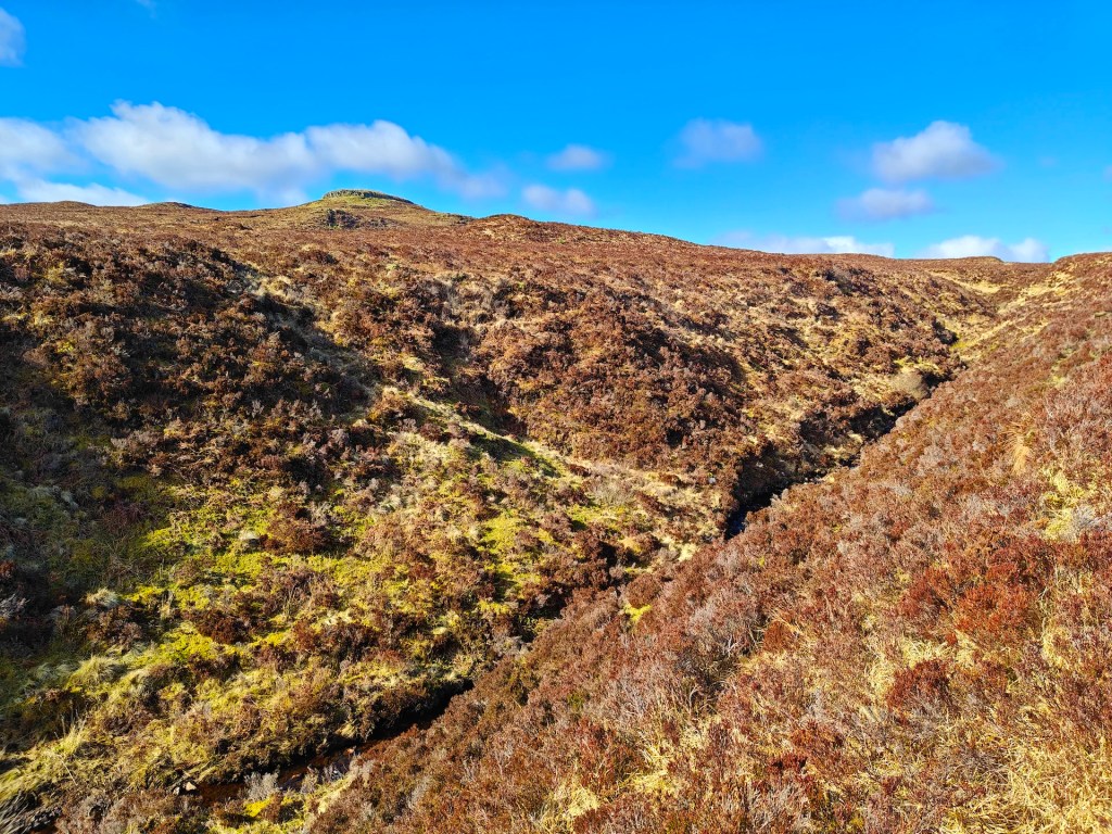
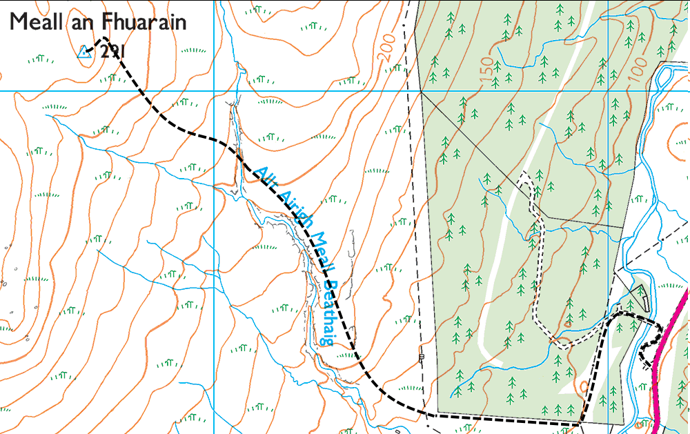
Next, head uphill through the boggy terrain until you arrive at the Allt Airigh Meall Beathaig stream (Gaelic for Beth’s Pleasant Hill Pasture Stream), which runs through a steep ravine. Follow the top of the ravine until the stream splits into two. Take the northern tributary for a short distance before crossing. Be cautious when descending into the ravine, as the ground can be slippery.
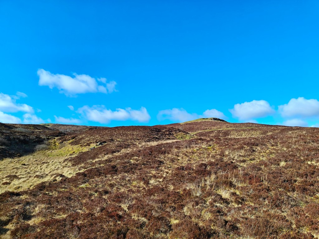
With the top of Meall an Fhuarain (Gaelic for Green Mound), showing ahead as a grassy knoll surrounded on all sides by ragged rock faces, directly ahead, continue towards it. Stick to higher ground and use sheep trails where possible to keep your feet dry.
As you near the summit, the hill will rise steeply in front of you. There are several routes up, but the north-eastern approach (on your right) is recommended. Well-trodden sheep trails make the ascent easier.
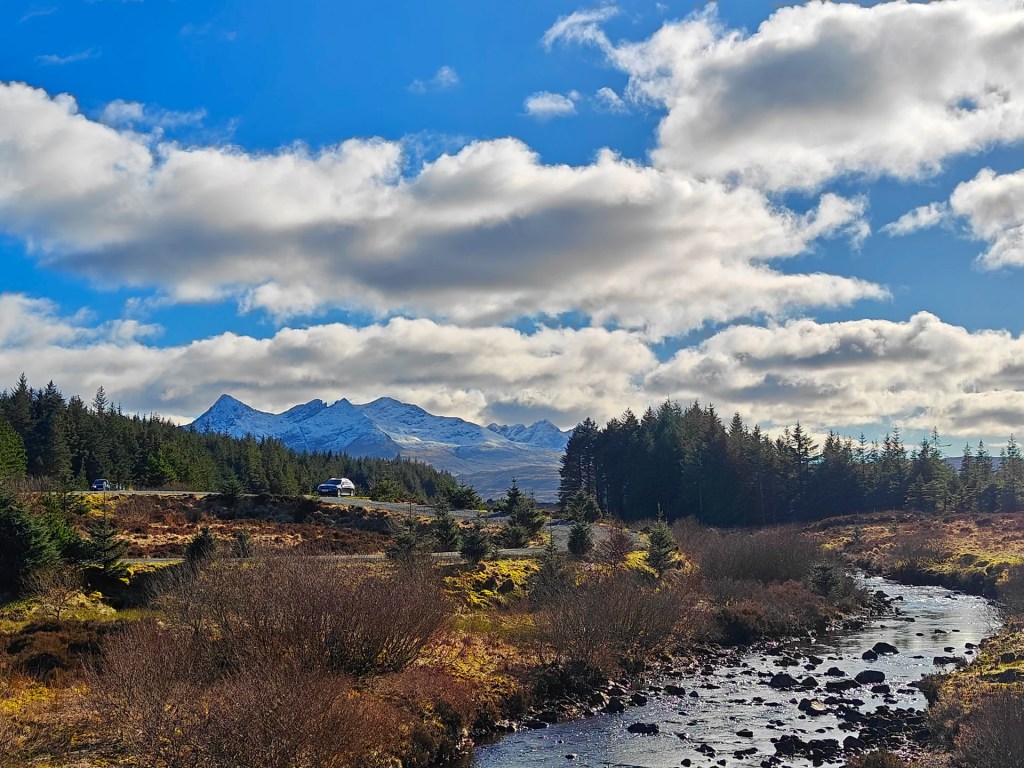
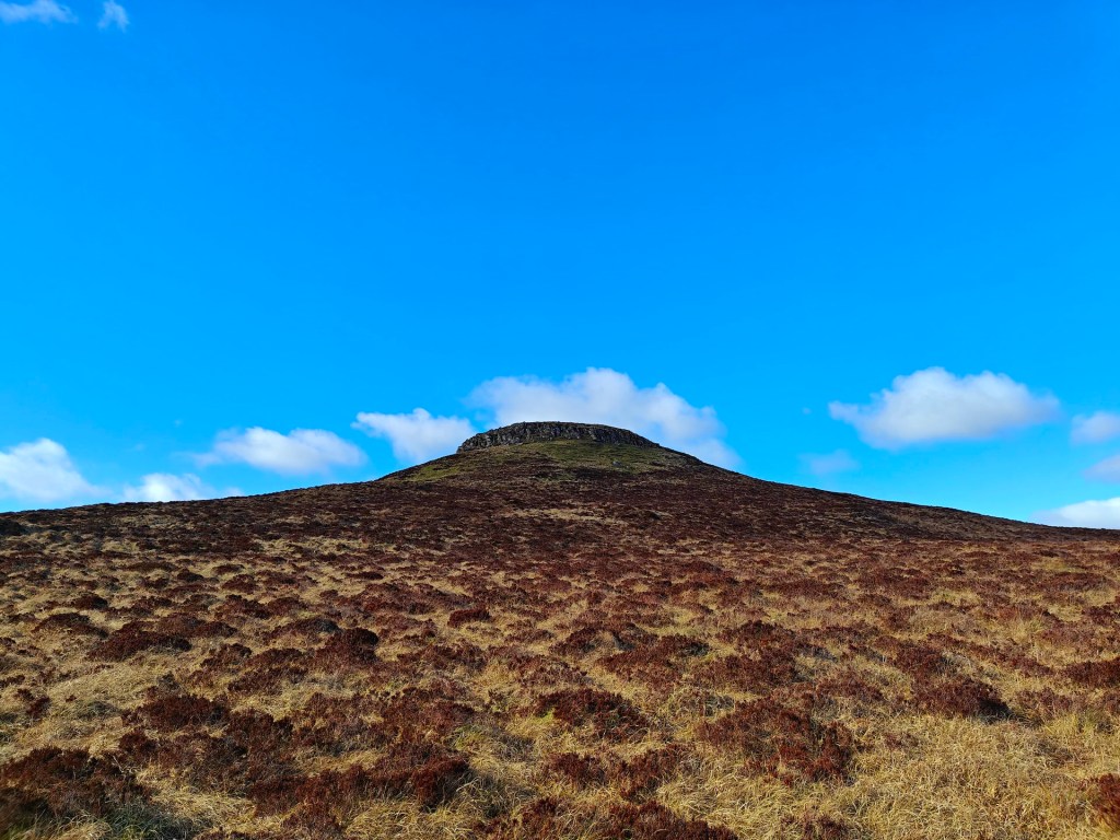
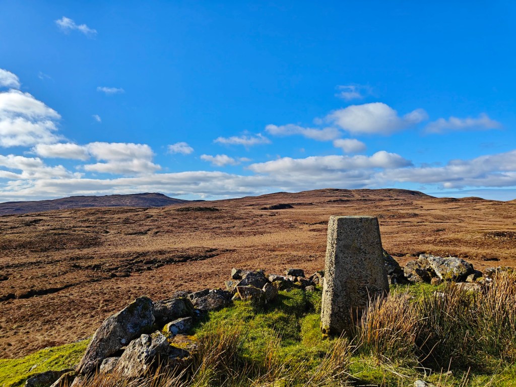
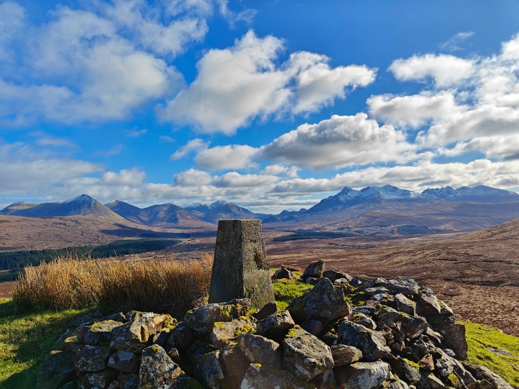
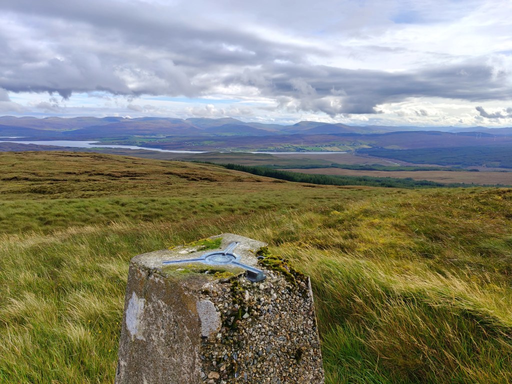
At the top, you’ll find a trig point enclosed by a low stone wall on three sides. From here, enjoy stunning views of the Cuillin mountain range to the south, as well as the surrounding landscape.
Once you’ve taken in the sites, simply retrace your steps back to the starting point, taking care to avoid small bog patches as you may move faster on the descent.


Leave a comment