
| Altitude | 360 Feet |
| Trail Conditions | Well established track followed by short bog section |
| Difficulty | Low |
| Experience | 8/10 |
| Est. Time | 3-4 hours |
| Distance | 8-9 Miles |
| Starting Location | Rubha Hunish Car Park after Shulista Phone Box |
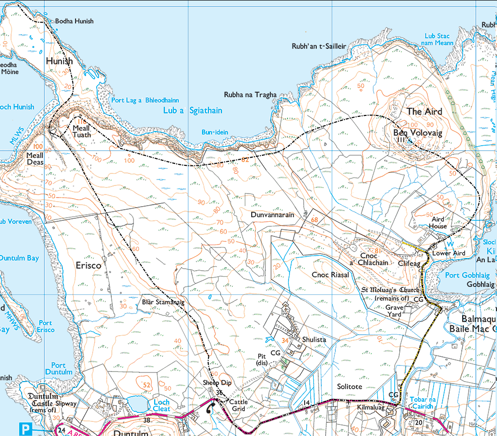
History of the Local Area
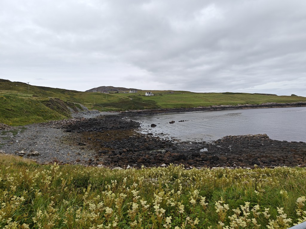
The township of Erisco, likely derived from “Erie” (meaning a tract of land) and “Sco” (Gaelic for a lovely green open field), sits on the shores of Duntulm Bay, just to the left of the path leading towards Hunish. First recorded as a township in 1662, Erisco was likely cleared of its inhabitants shortly before 1875. The village was known for cultivating potatoes and oats.
Today, as you walk through Erisco, you’ll encounter a remarkably well-preserved set of buildings lining the head-dyke on the eastern side of the township—a testament to its history and a worthwhile stop on your journey.
To the northwest of Erisco lies Rubha Voreven, where evidence of an ancient fort can be found. The fort, consisting of a stone wall with a central entrance, may date back as far as 2400 BC to 900 AD. However, there appears to be no record of formal archaeological digs in the area.
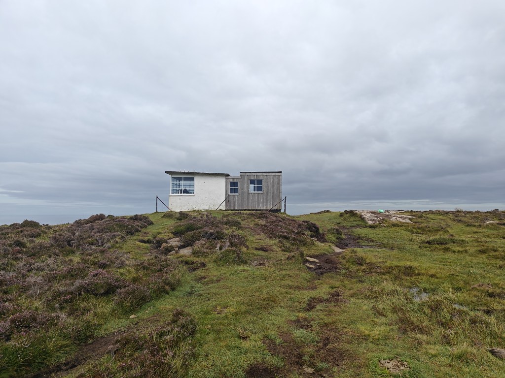
The bothy, perched on a hill just short of Rubha Hunish, was once a Coastguard Lookout, active between 1930 and the 1970s, before falling into disuse. Restored by the Mountain Bothies Association in 2007 and dedicated to David Brown, a longstanding member, it now provides a cozy spot for a short break or an overnight stay, offering two bunks.
As you near the end of your trek, you’ll pass St. Moluag’s Church and its surrounding graveyard. The church dates back to the Early Medieval period, around 561 AD, and was in use until roughly 1900 AD. The area, now known as Kilmuir, was once referred to as Kilmaluag, a name that honors St. Moluag, an Irish Christian monk and a contemporary of St. Columba in the 6th century. St. Moluag is credited with converting the Picts to Christianity, linking the area to a Pictish presence, further supported by Pictish carvings found on the Isle of Skye.
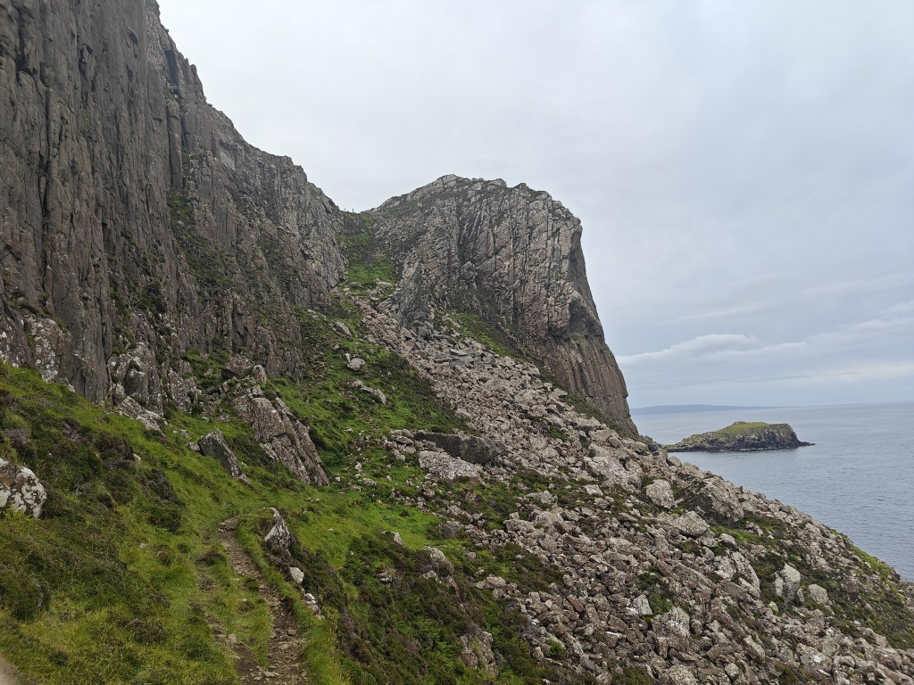
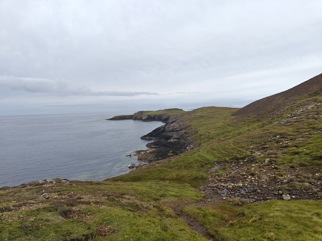
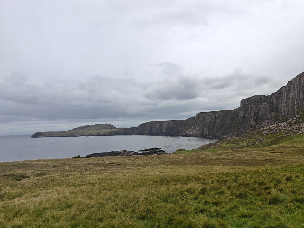
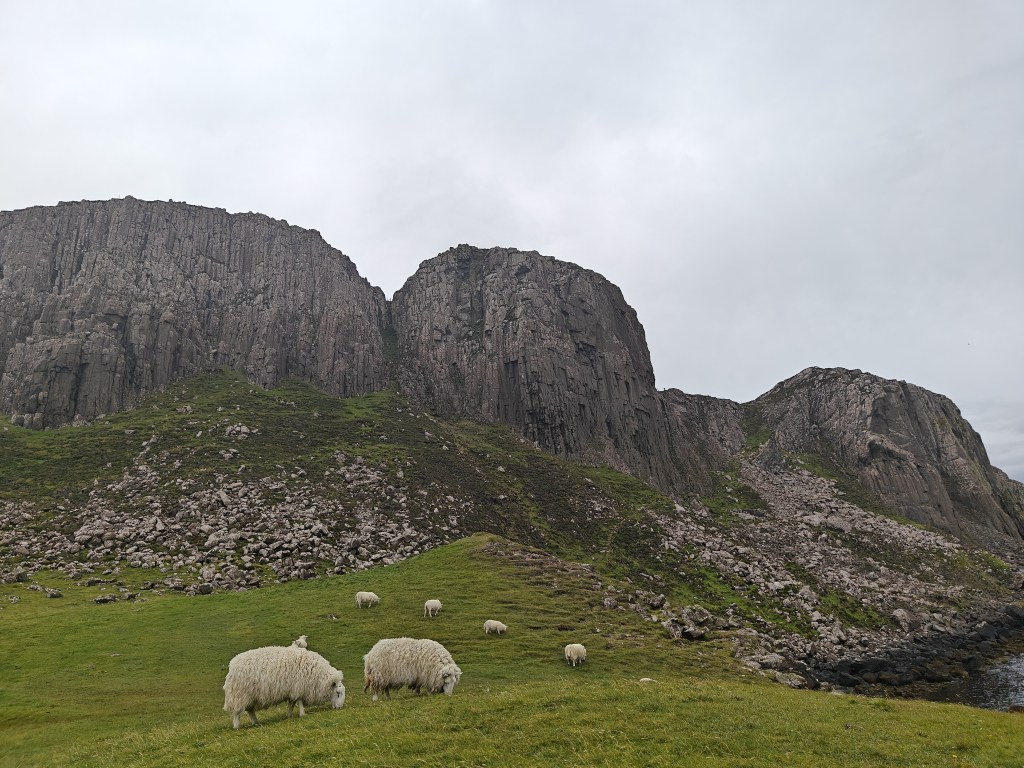
Gallery


The Walk
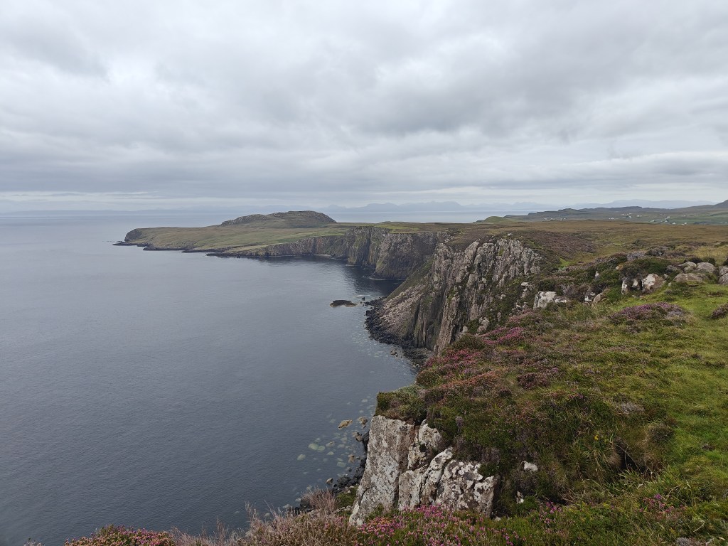
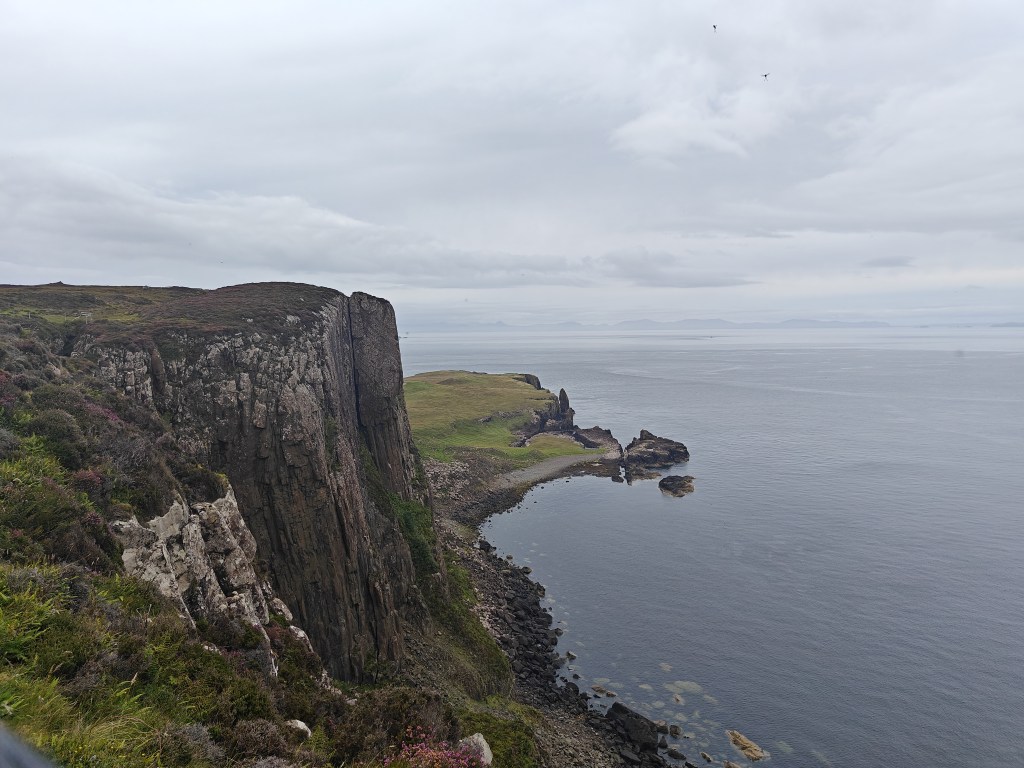
This is one of the more enjoyable trig walks on Skye, leading you to the island’s most northerly point at the Rubha Hunish peninsula (Huinish Promontory in Gaelic). The route takes you along a dramatic cliff-face trail, past a bothy boasting the best sea views on the island, and through quiet trails to the Ben Volovaig hill, before returning via the picturesque Gobhlaig Bay. I highly recommend detouring to the peninsula if conditions allow and you’re up for it, though it will extend your journey by about an hour.
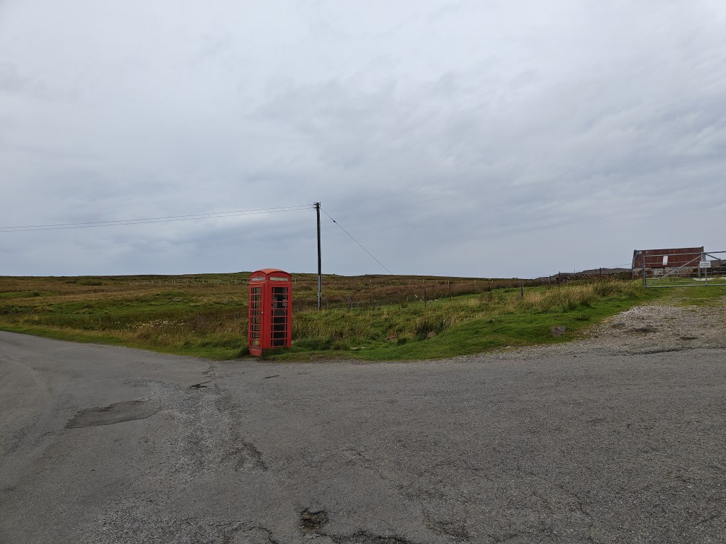
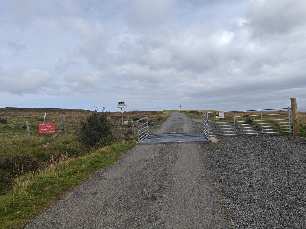
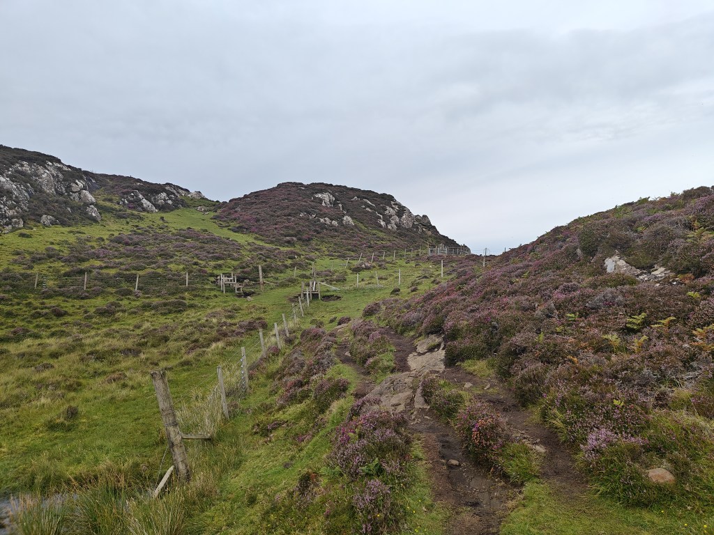
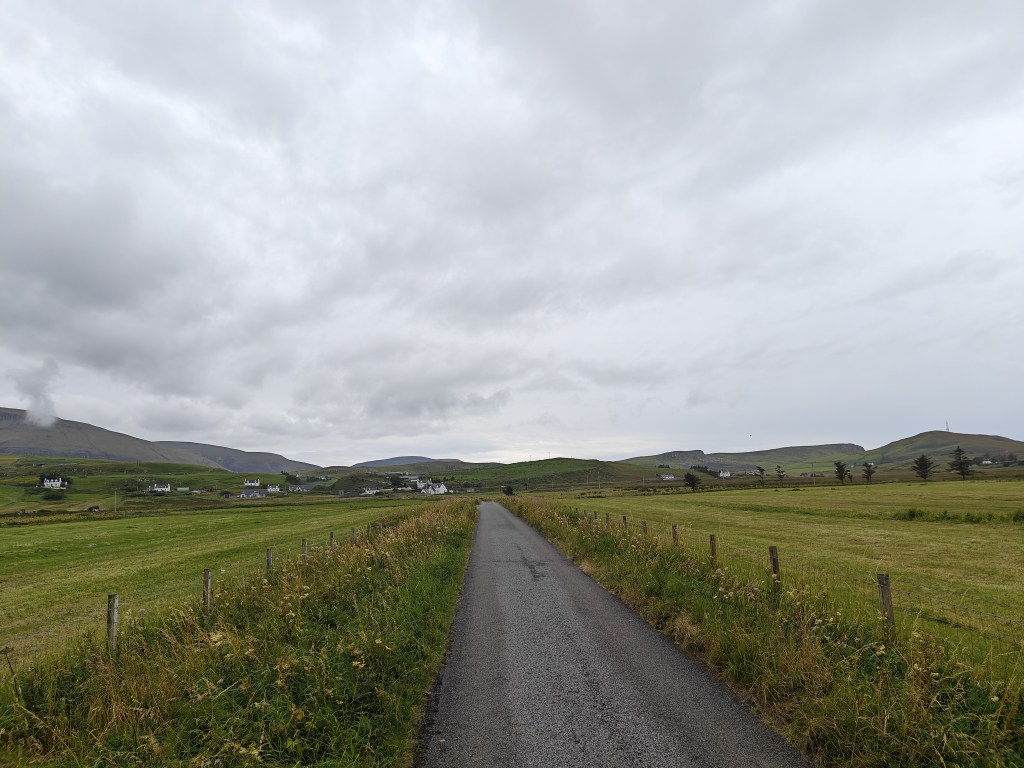
To begin the walk, park at the Rubha Hunish Car Park, located just uphill from the red Shulista phone box. There’s space for 8-12 cars in the area. Start by crossing the cattle grid to the north, then follow the trail signposted “Rubha Hunish 2.5km” to the left.
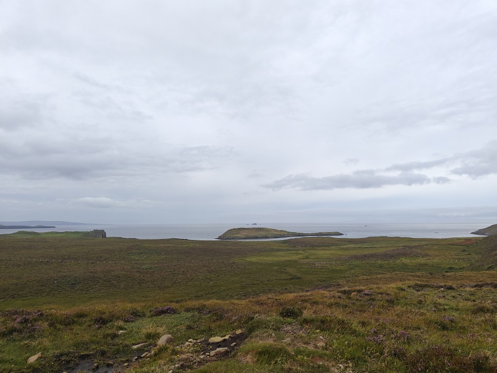
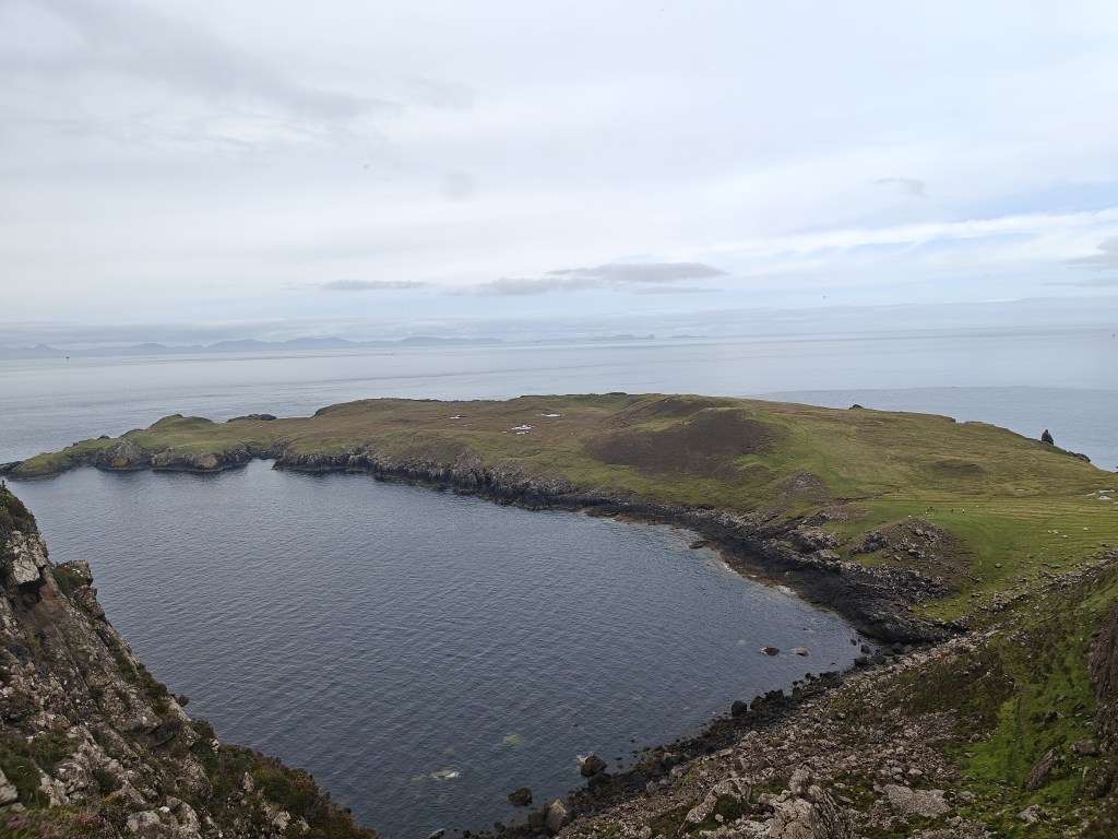
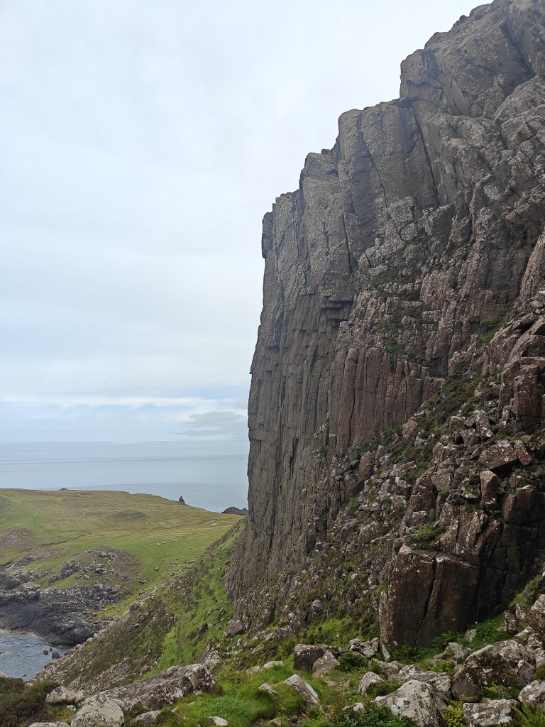
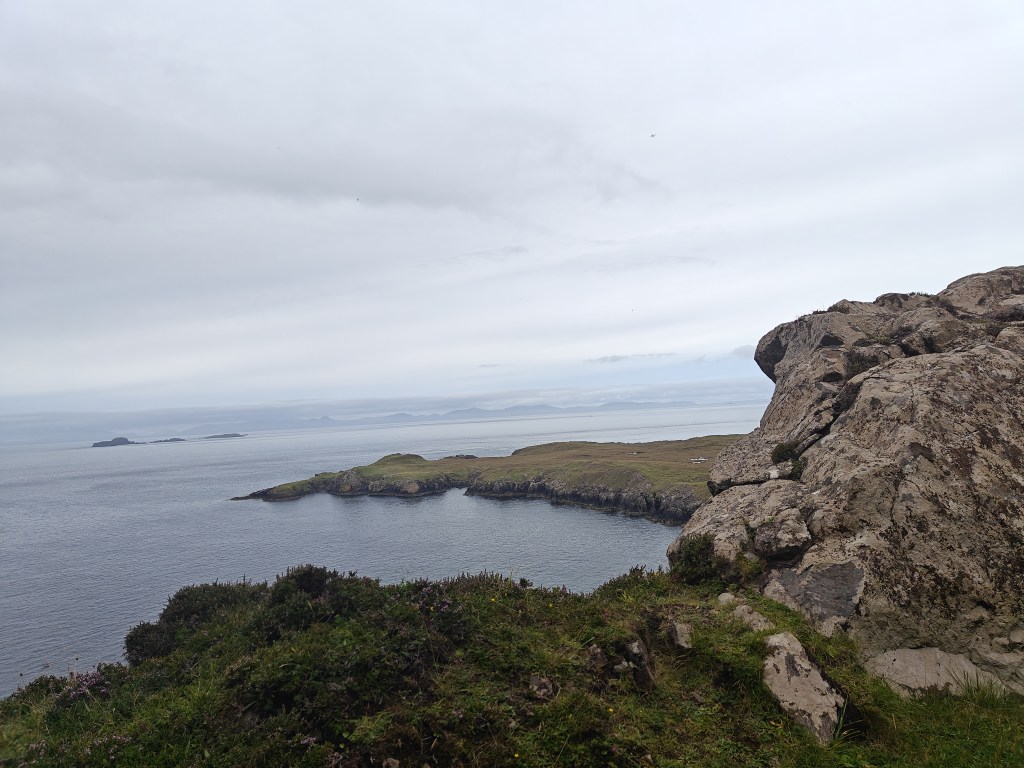
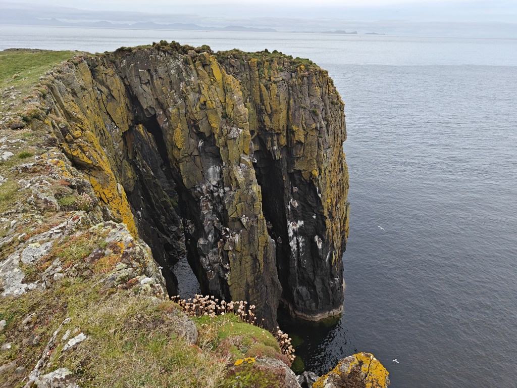
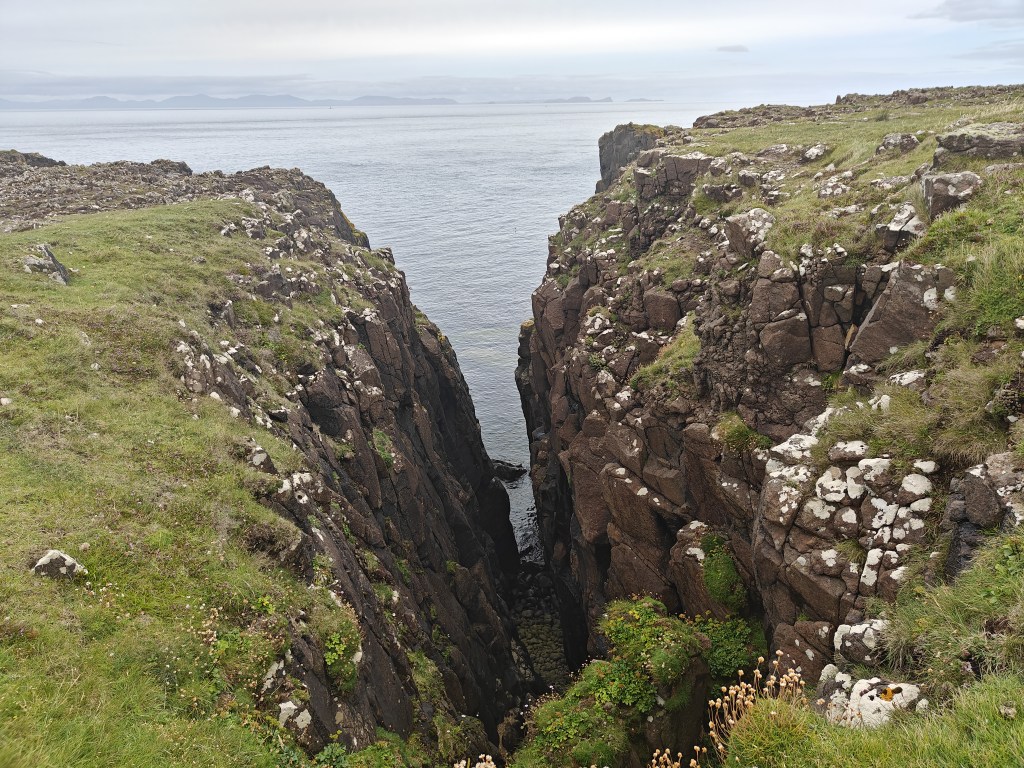
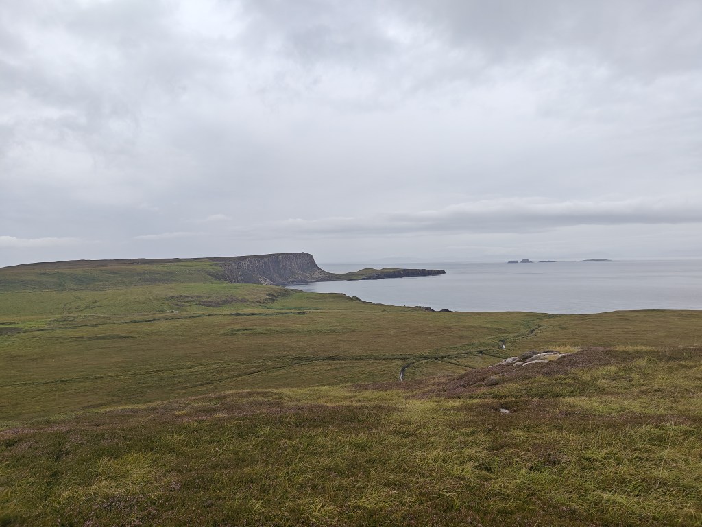
Continue through several gates until you reach the glen between Meall Deas and Meall Tuath (South and North Hills in Gaelic). For those aiming to reach the most northerly point of the island—a must-do if you can—head straight towards the cliff face in front of you, cross the step stile, and proceed through the gate. Carefully descend the well-marked path down the cliff face (avoid doing this section in wet or windy conditions). Once at the bottom, follow the established paths, favoring the eastern side of the peninsula to avoid boggy terrain and to enjoy the nesting birds along the cliffs and stone arches by the shore.
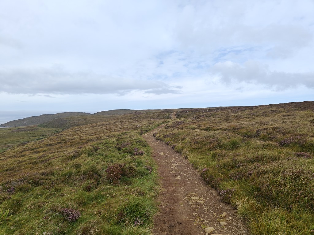
After exploring the peninsula, or if you opt not to descend, return to the glen and ascend the eastern Meall Tuath hill, following the established tracks until you reach the Rubha Hunish bothy—a great spot for a break, where you’ll often find binoculars for whale watching.
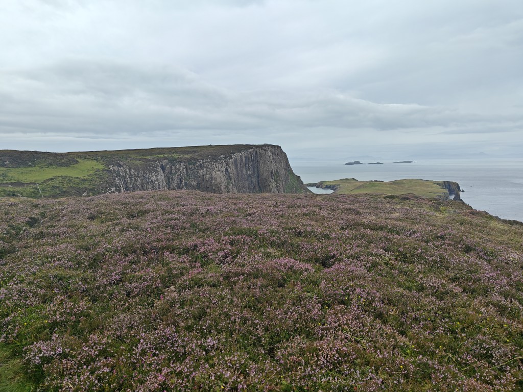
Continue eastward along the trails near the cliff top, passing several boggy areas that can usually be bypassed by detouring slightly inland before returning to the trail.
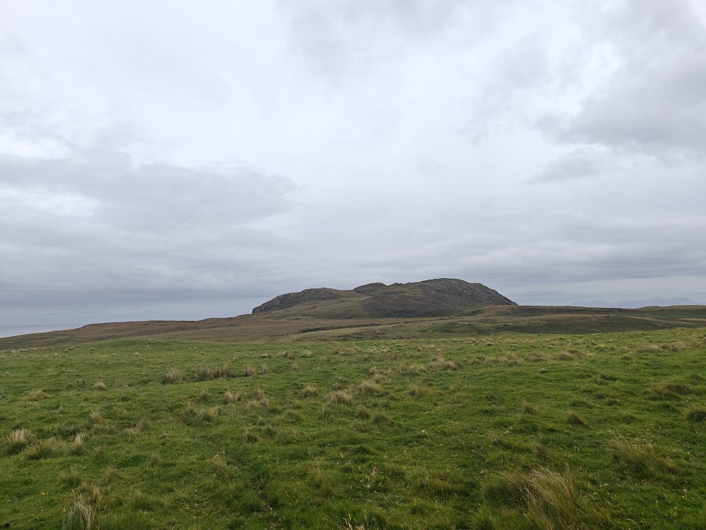
Eventually, you’ll come across a stile shortly after you first see Ben Volovaig fully in view to the east. Cross the stile and either follow the fence line a short distance north before heading towards the dike and Ben Volovaig, head straight for the hill, or continue along the trail to the southeast, doubling back to the hill at your chosen point. Regardless of your approach, you’ll need to cross a fence that encircles the hill’s peaks.
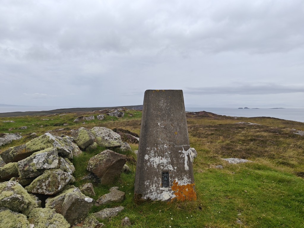
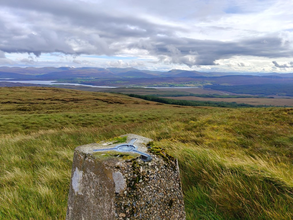
Cross the fence wherever you’re able, then head to the southernmost peak to find the trig point, which offers stunning views of the surrounding area.
Due to Ben Volovaig’s south-facing cliff face, descending directly is challenging. I suggest heading east from the trig point, following sheep trails and rocky sections to descend into the fields below.
From there, navigate through the fields southeast towards Stac Lacklainn but do not cross the fence directly infront of the stack. Follow the fenceline around to the west and pass through a gate to enter another smaller field and then yet another gate to get to the south side of Aird House.
Head towards the ruined building. Remember that this is private land and active crofting land with animals likely to be running around, so proceed carefully as you join the road back to Kilmaluag and the main road.
If you have any energy left, St. Moluag’s Church and the graveyard are well worth a visit. Finally, to complete the walk, follow the road back to the main road, then carefully return to the red phone box and the car park.


Leave a comment