| Altitude | 1,428 Feet |
| Trail Conditions | Pleasant forestry road followed by a long uphill bog climb, unlikely to keep dry feet regardless of overall conditions. |
| Difficulty | Medium |
| Experience | 7/10 |
| Est. Time | 4-5 hours |
| Distance | 6-8 Miles |
| Starting Locations | Kingsburgh Community Woodland gate, on the road to Uig from Portree. Located to the right of the main road shortly after Kingsburgh |
History of the Local Area
As you first start to climb Creag na Cuthaige from the track, you very quickly come upon a large set of ruins which aren’t immediately obvious from the track itself. These are the ruins of Glenhinnisdal, a small crofting community of around 13 homes, which were cleared in 1820 or therabouts, with the land being added to the already large farm of Kingsburgh. This is just one of a large number of small communities that were home to families across the valley.
Nearby Kingsburgh is famously known to have sheltered Bonnie Prince Charlie on the 29th of June, 1746. After arriving on Skye by boat in the guise of a washerwoman called ‘Betty Burke’, slightly North of Uig, Bonnie Prince Charlie first travelled to Monkstadt house and then walked the 12 miles to Kingsburgh House overnight to avoid detection. He stayed for 2 days before moving on to Portree.
Although not viewed during the normal route, the cliffs to the north-west of Creag Mheadhonach, which make up the ridgeline to the West and South-West of Creag na Cuthaige is home to an “immense Cairn”, which was excavated in 1776 by Mr MacDonald of Kingsburgh and was found to contain a urn of elegant workmanship, found stored in a stone chest formed of six flags.
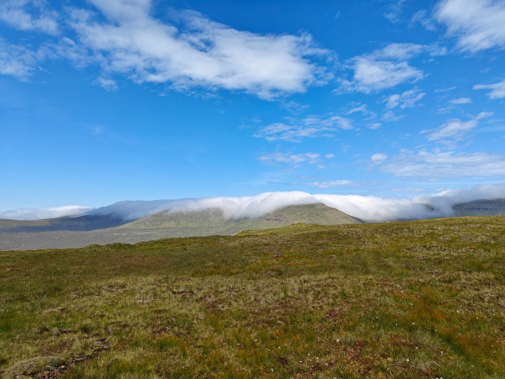
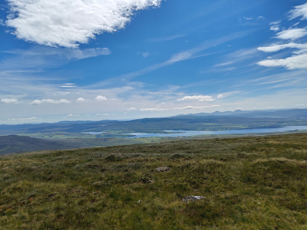
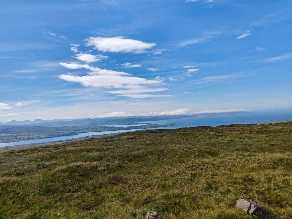
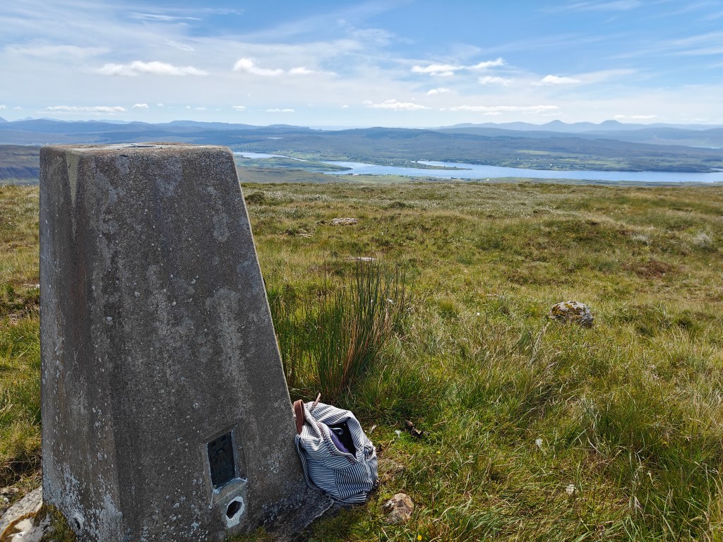
Gallery


The Walk

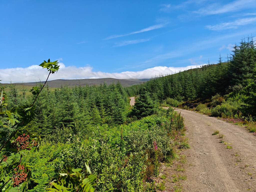
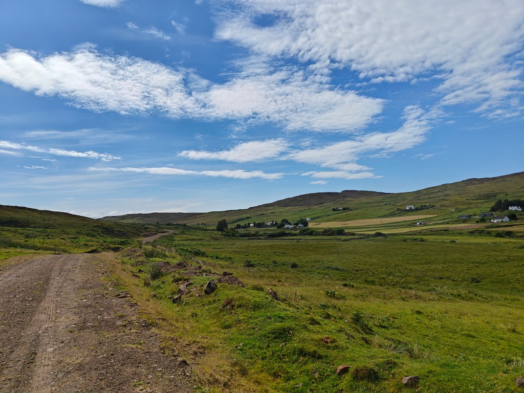
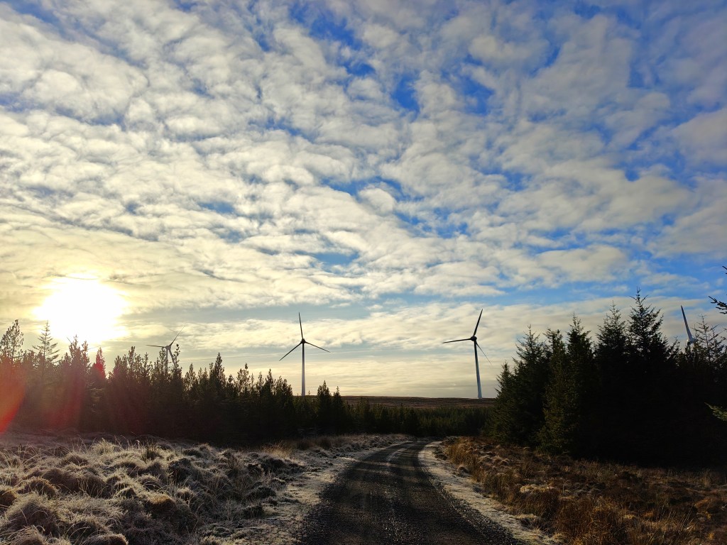
The start of the trail for this one is the metal gate just before the Hinnisdal Bridge. It’s clearly visible from the main road. This area is marked as the Kingsburgh Community Woodland on most maps.
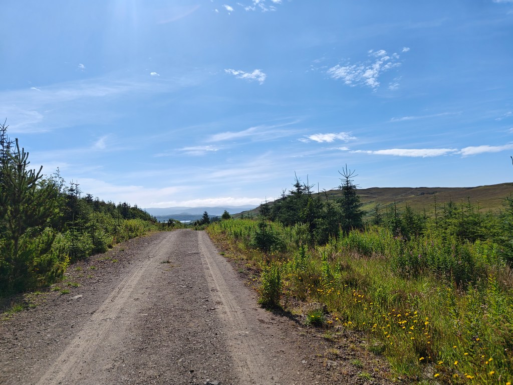
Park anywhere nearby and gain access via the gate, then follow the very scenic forestry road, ensuring you keep to the left when you approach a fork in the road.
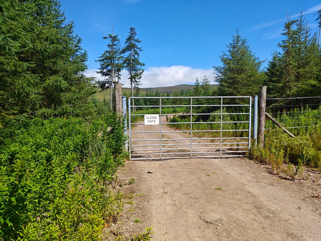
As you continue down the road you’ll pass another gate, continue through it until you reach the final gate of the walk. This is a great place to have a short rest on the wooden bench before proceeding through the gate and then straight up the hill following the dyke.
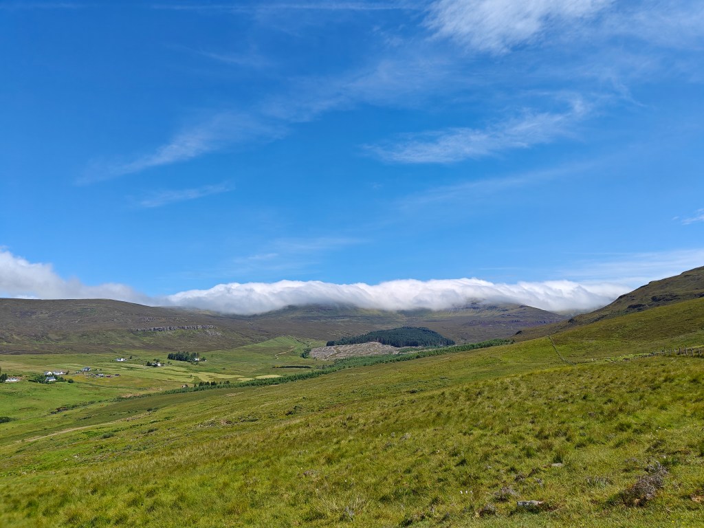
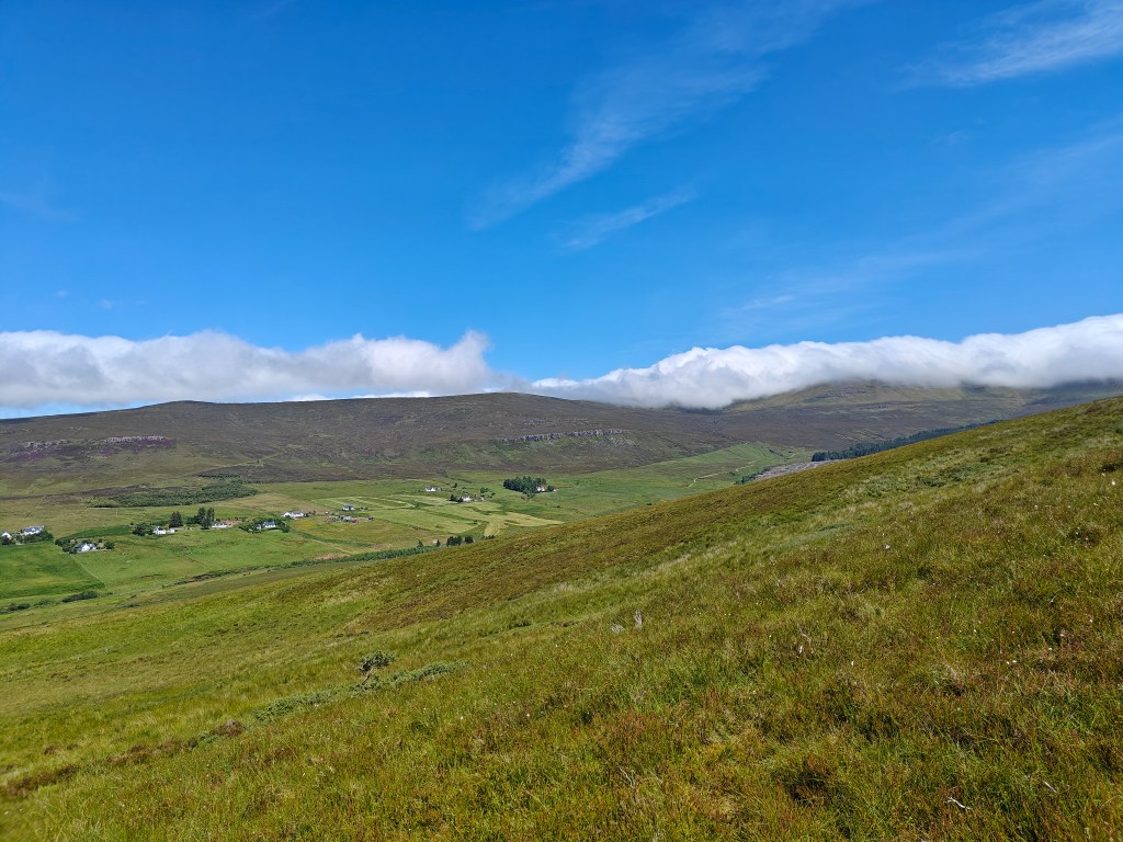
After a very short uphill section you reach an abandoned township of which only ruins are left, likely dated to 1820, there are around 13 ruined homes in the vicinity which are worth a quick look around.
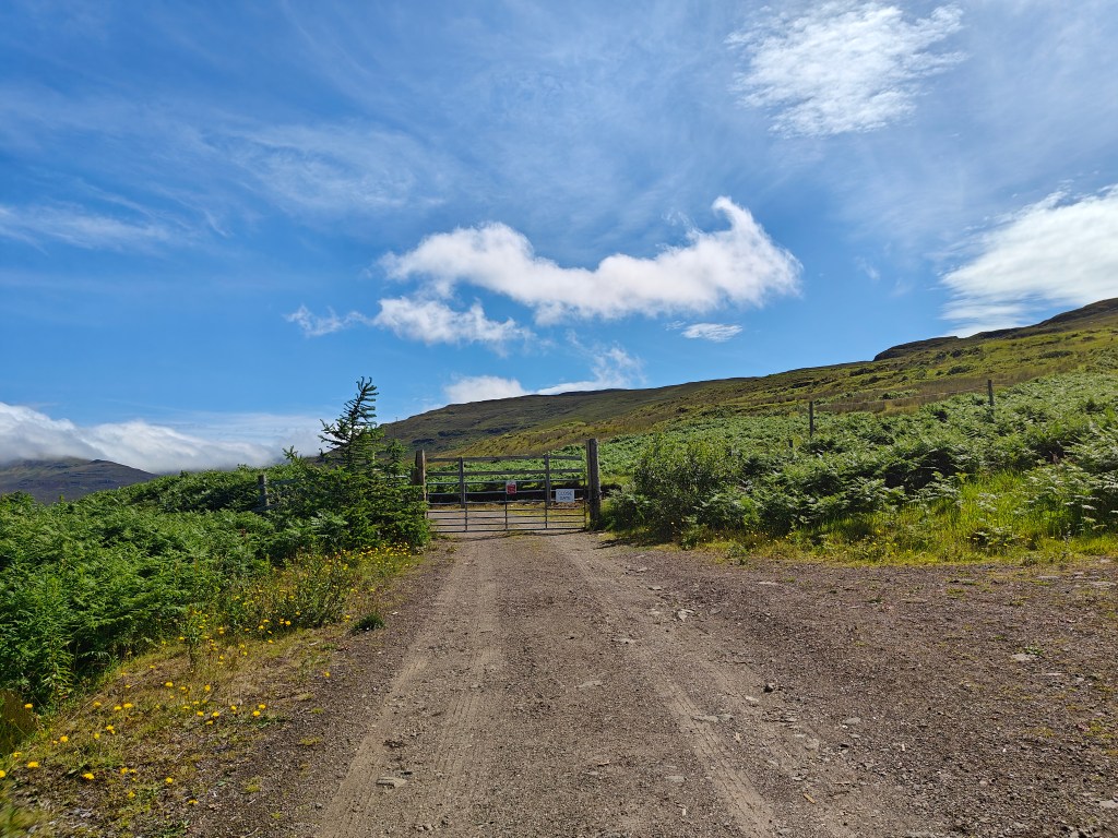
Follow the dike towards the east (left as you’re facing up the hill) looking for a gate up the hill which will allow access through the fenceline.
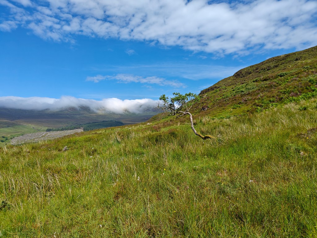
Go through the gate and start your ascent proper, keeping east of Creag na Cuthaige (Cuckoo’s Rock in Gaelic). You can either choose to keep to this side of the streams going down the hill, following them to their source, or can cross over both streams. Either way, continue straight up the hill.
You’ll eventually reach a plateu of sorts where you start to get a view towards the south and Beinn a Chapuill, from here you have a few options, but likely the driest is to attempt to head towards Sron nan Aighean (Nose of the Heifers in Gaelic) hill, attempting to keep between the natural waterways shown on the maps, this will lead to a steep climb from roughly 300 to 420 metres in altitude, which can be tough going due to the spongy ground, high heather and steep incline.
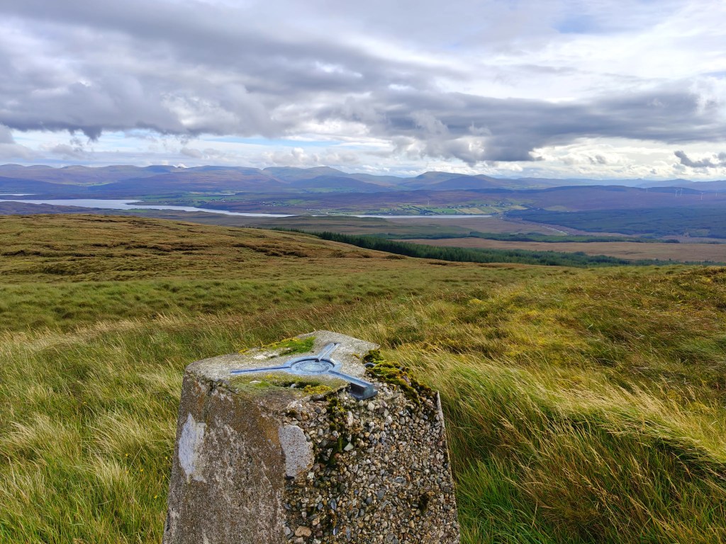
As you get to the 400 or so meter altitute, you should start to see a very rocky area towards the south-east, this means you’re starting to get very close to the Trig point, depending on how you chose to ascend you may also catch brief glimpse of the Trig Point itself.
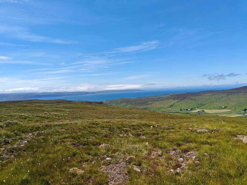
Continue straight up Beinn a’ Sga, aiming fo rthe highest visible point and the Trig Point should come into sight. This is a good place to have a short rest again and to take in the amazing views of the entire surrounding area.
Unfortunately, the trek back down is likely to be as wet, but does lead to some amazing views.
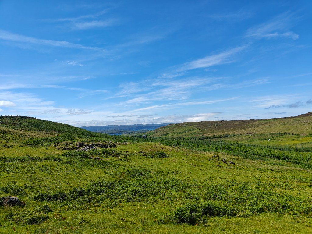
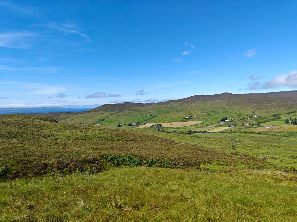
Head back down the hill, keeping closer to the ridgeline above the cliff face to the north this time and you’ll soon have visibility of the entire valley which extends much further than it may appear from the forestry track.
Keep making your way further down, aiming just west of the second plantation, carefully pick your way down the steeper slopes until you see a gate in the fenceline. Go through the gate and make your way back to the forestry trail then it’s a casual stroll back to your starting point, passing through 3 gates yet again.


Leave a comment