| Altitude | 872 Feet |
| Trail Conditions | Gravel road followed by short boggy area |
| Difficulty | Low |
| Experience | 7/10 |
| Est. Time | 3-4 hours |
| Distance | 7 Miles |
| Starting Location | Ben Aketil Wind Farm Access |
History of the Local Area
There are no widely recorded battles or singular historic landmarks directly on Ben Aketil itself, and the surrounding area is mostly comprised of Shieling Huts and Cairns. Instead, its significance is tied to everyday rural life over time, grazing land, peat cutting, and subsistence farming, which would have been the primary activities across these hills and low-lying areas for generations.
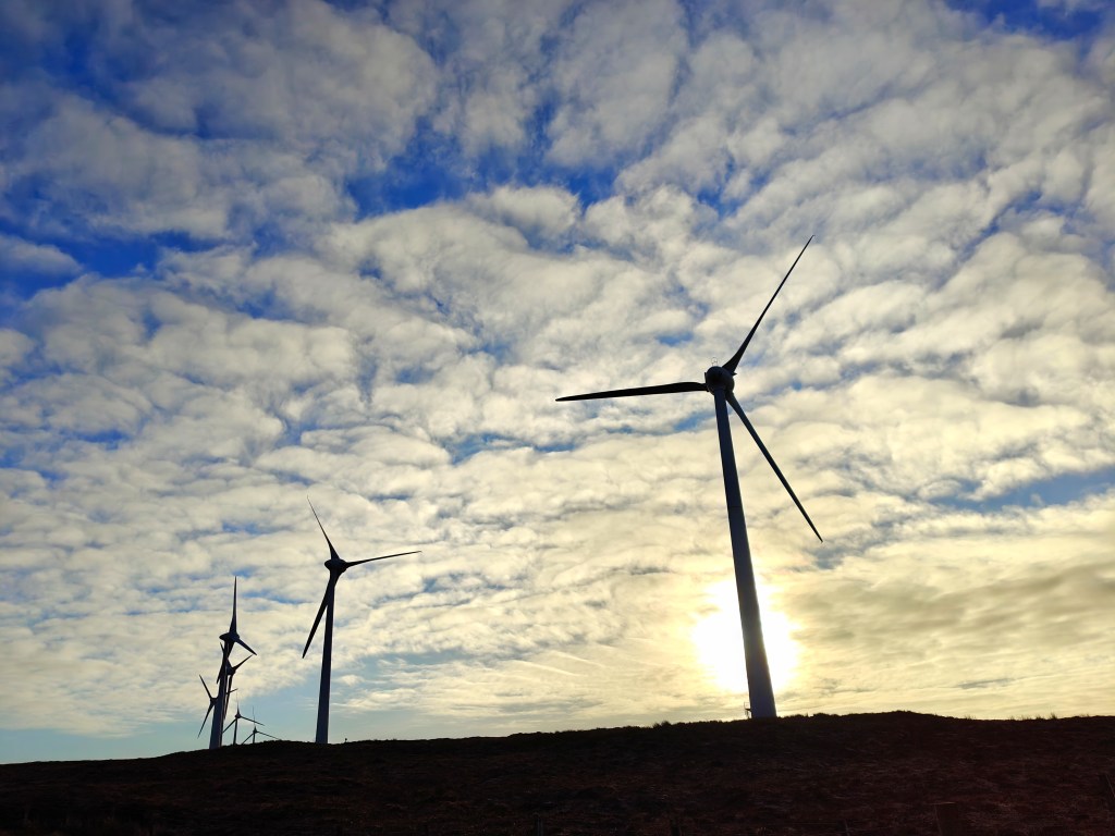
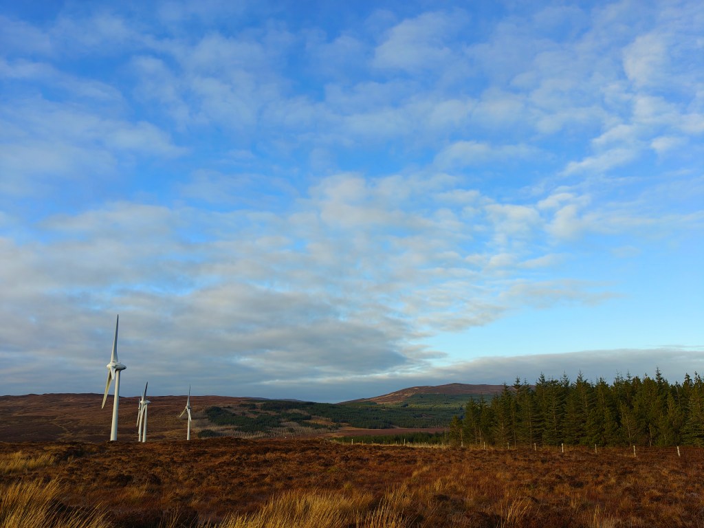
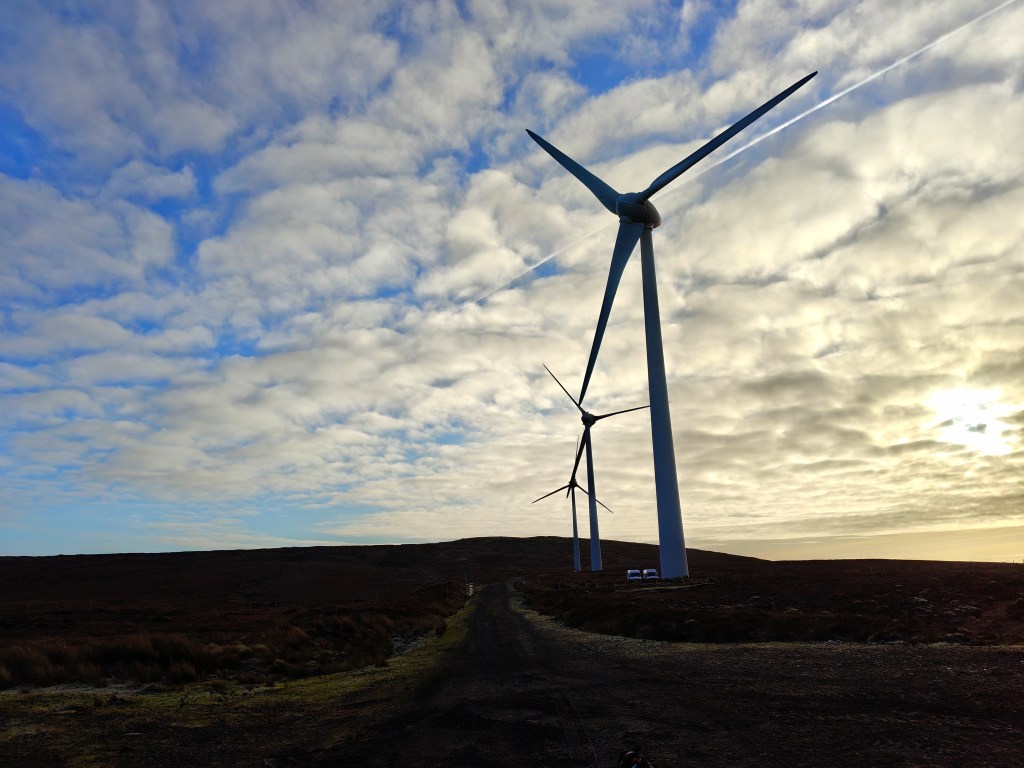
More recently, the construction of the Ben Aketil wind farm represents a modern chapter in the area’s history. Developed in the early 21st century, it forms part of Scotland’s broader move toward renewable energy. The turbines you pass on the walk are a visible sign of this transition, overlaying contemporary infrastructure onto a landscape that has been used continuously, though differently, for centuries.
Gallery
The Walk
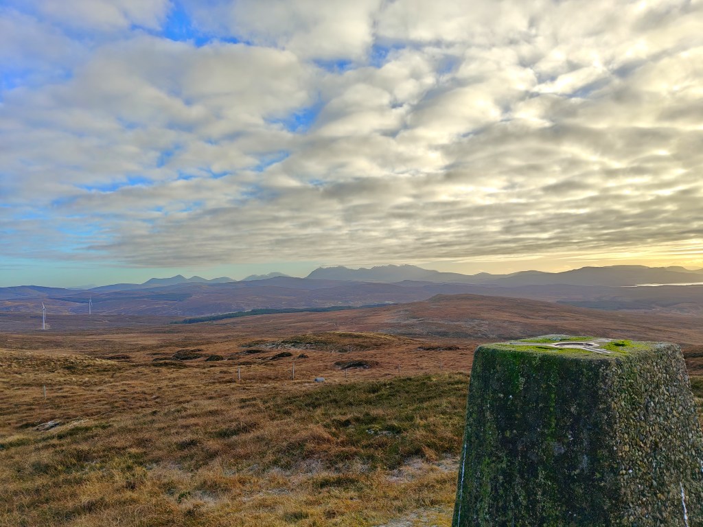
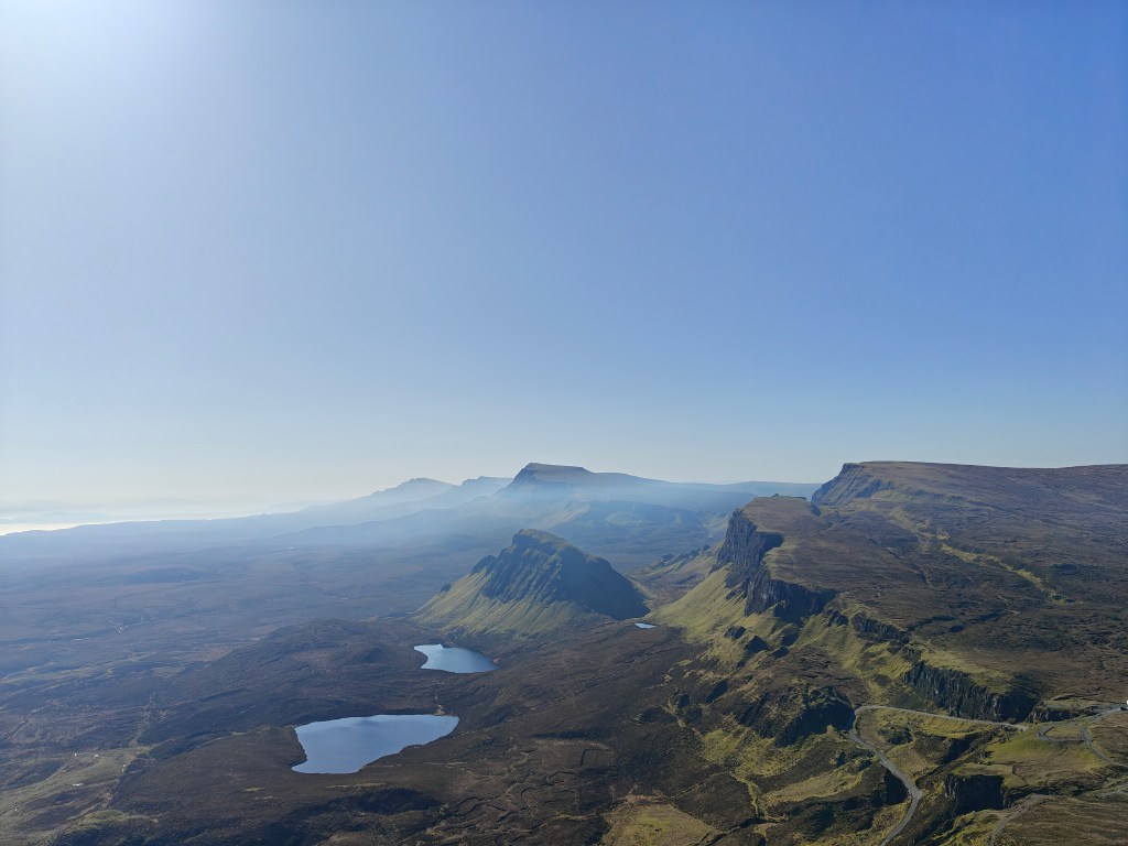
Ben Aketil offers a straightforward trig point walk in the north-west of Skye, rewarding those who make the short ascent with wide-ranging views across the surrounding crofting landscape and out towards the sea. Unlike many of Skye’s more dramatic peaks, the hill has a gentle profile, but its elevation still delivers a satisfying sense of height once you reach the summit.
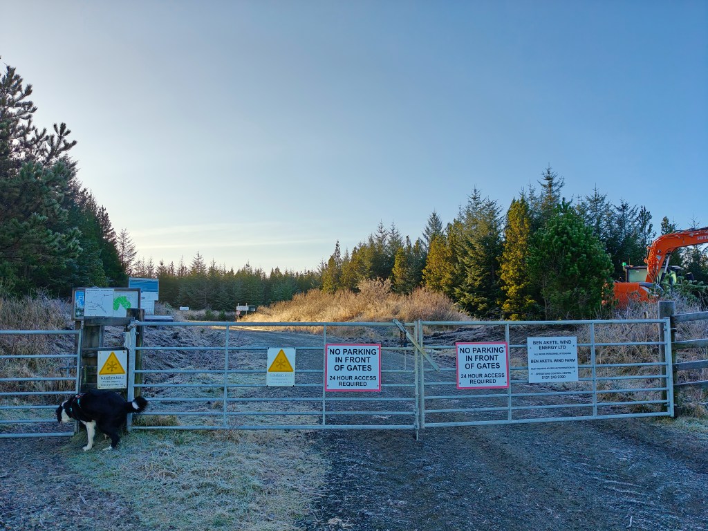
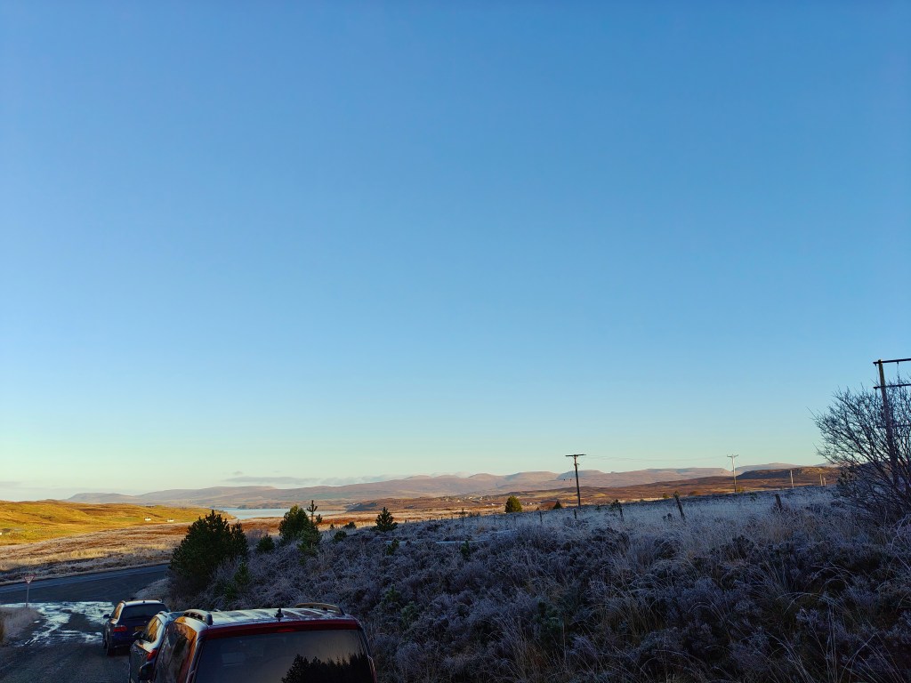
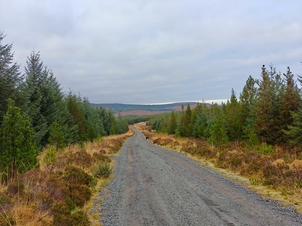
To begin this walk, park near the entrance to the Ben Aketil Forest Trail, taking care not to obstruct access to the Windfarm service road. There is no formal car park, but there is typically space for around five to six vehicles if parked considerately.
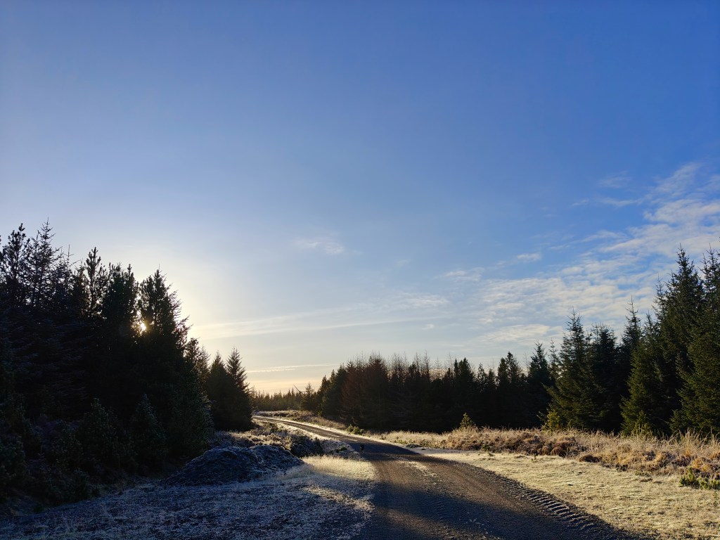
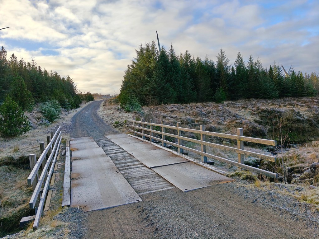
From the parking area, pass through the metal gate and follow the gravel road as it winds into the wind farm. Continue along the track for around 2 miles, at which point you’ll cross a wooden bridge. Keep following the road until you reach a junction where a service building lies ahead. At this point, take the left fork and continue following the road in a south-easterly direction.
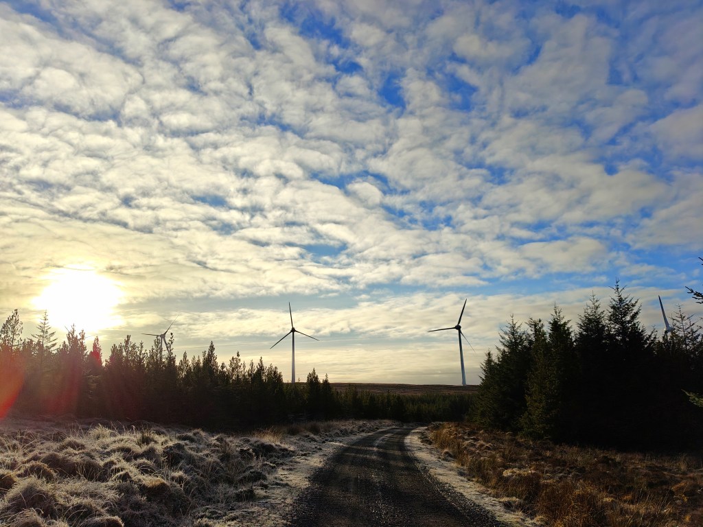
Stay on the main track as it leads deeper into the wind farm, passing several turbines along the way. Continue until you reach the final turbine, where the road comes to an end. From here, leave the track and head directly onto the open hillside straight ahead, maintaining a steady line uphill. There is no defined path beyond this point, but the ground is generally manageable, with the ascent gradually easing as you approach the top.
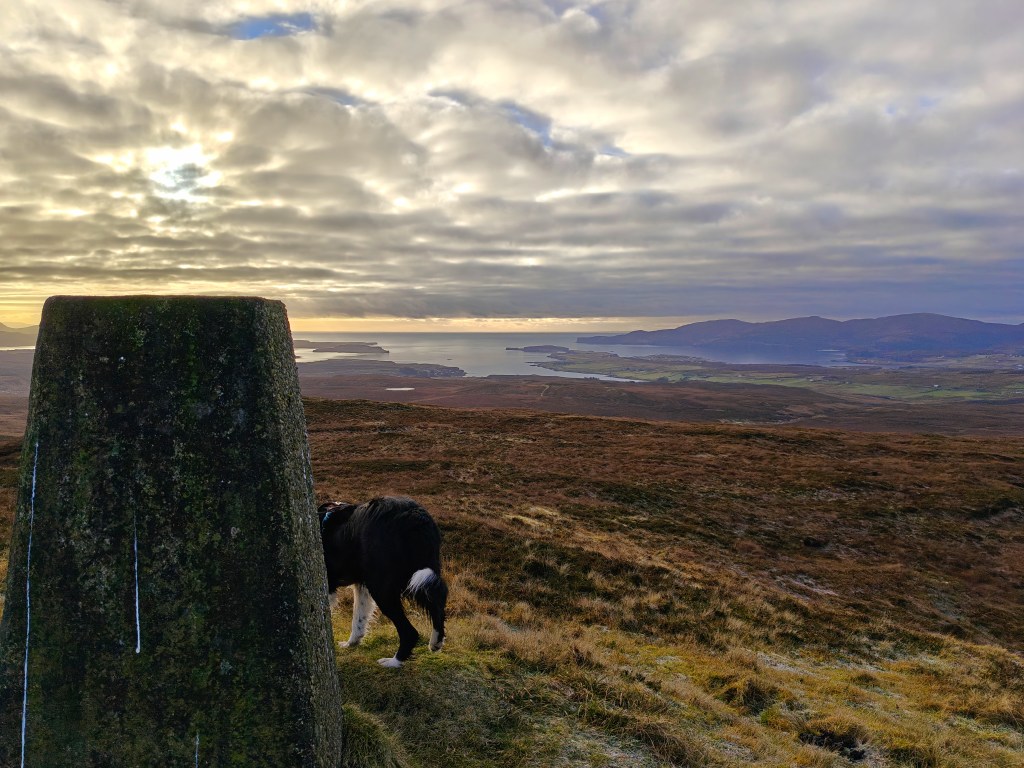
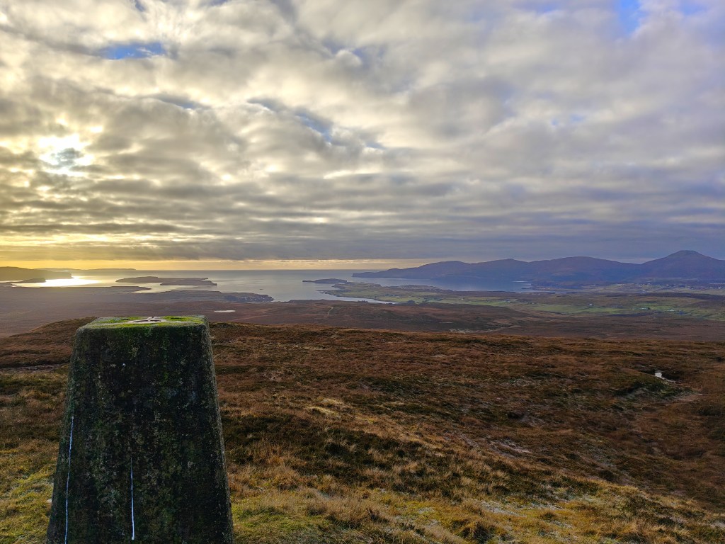
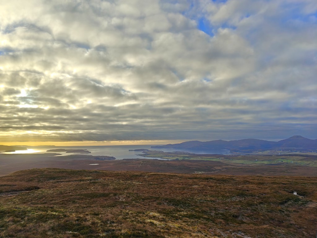
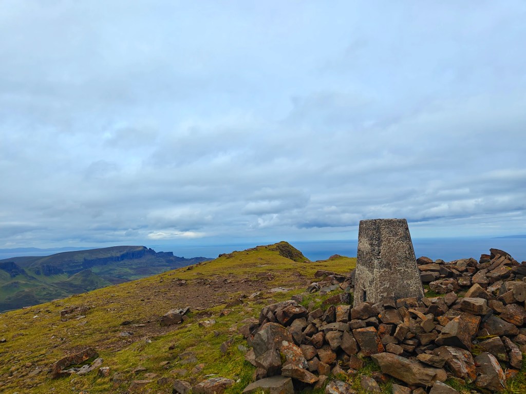
As the terrain levels out, the trig point becomes visible on the broad, grassy summit of Ben Aketil. It is easy to identify and marks the highest point of the hill, with no larger structures nearby to distract from it. The summit provides a clear vantage point over the surrounding landscape, with open views across the crofting land and out towards the sea.
To return, retrace your outward route, making your way back down to the wind farm track and following it in reverse to the starting point. On the descent, it is worth taking a moment near one of the turbines to appreciate their scale and to listen to the distinctive whooshing sound as the blades turn overhead.
While Ben Aketil may not be among the most prominent hills on the Isle of Skye, it offers a peaceful and accessible walk with rewarding views from its trig point, making it a worthwhile option for a shorter outing in this part of the island.


Leave a comment