| Altitude | 2004 Feet |
| Trail Conditions | Road followed by farm track then bog and grass |
| Difficulty | Low |
| Experience | 9/10 |
| Est. Time | 5-6 hours |
| Distance | 9-10 Miles |
| Starting Location | Uig |
History of the Local Area
Glen Uig, the valley flanking Beinn Edra, offers more than just stunning views; it holds layers of human history etched into its landscape.
The glen has been a vital spot for agriculture since the Medieval period, but its story stretches back even further. Evidence of prehistoric settlement is scattered across the area, notably in the form of ancient hut circles. While some of these are officially marked on OS Maps, others, including small clusters near the Lon Airigh Fhionnlaidh tributary to the south of the glen, remain largely unlisted, waiting to be fully documented.
However, the most striking and relatively recent historical segment of the area is the tragic incident of a US B-17G Flying Fortress Bomber crash during World War II.
On the 3rd of March 1945, the heavy aircraft clipped the rugged cliffs of the Trotternish Ridgeline and crashed, its debris settling just below the eastern face of Beinn Edra. Sadly, all nine crew members aboard were killed.
Official records suggest the bomber was flying west-to-east, travelling from the US via Iceland toward the Scottish mainland en route to RAF Valley in Wales. Yet, local accounts have consistently maintained the crew were flying east-to-west, likely disorientated by the severe weather conditions common to the area.
This discrepancy led to a crucial investigation in 2011, headed by Terence Christian of the University of Glasgow. His team’s findings ultimately concluded that the local testimonies appeared to align most closely with the physical evidence remaining at the crash site, adding a poignant and corrected detail to the official history of this WWII loss.
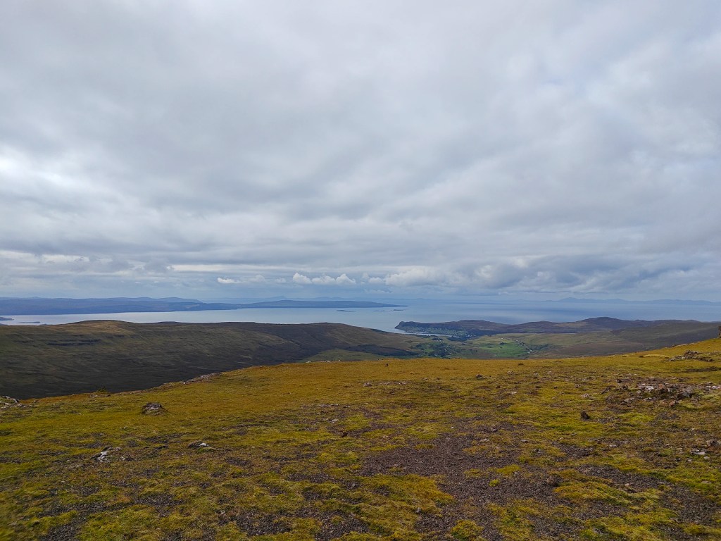
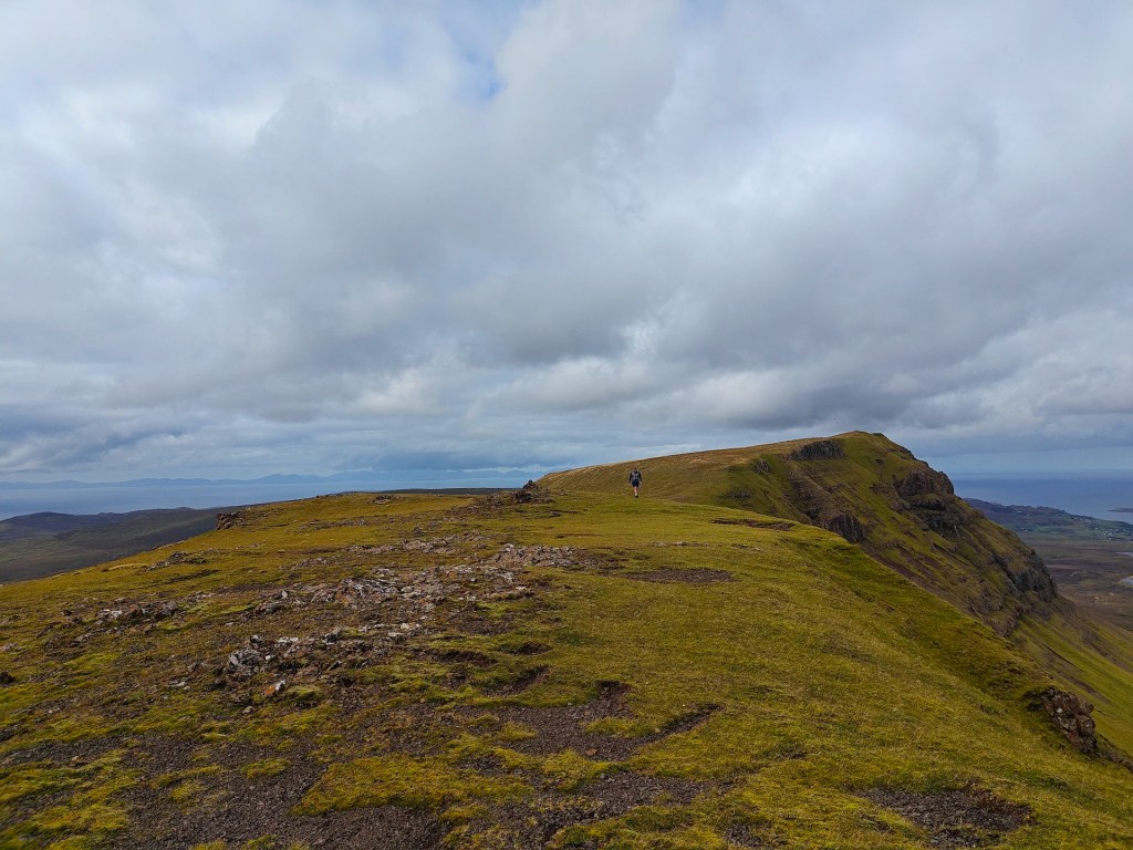
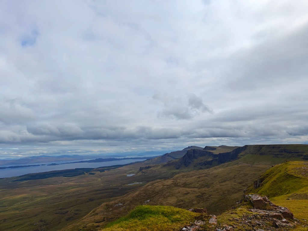
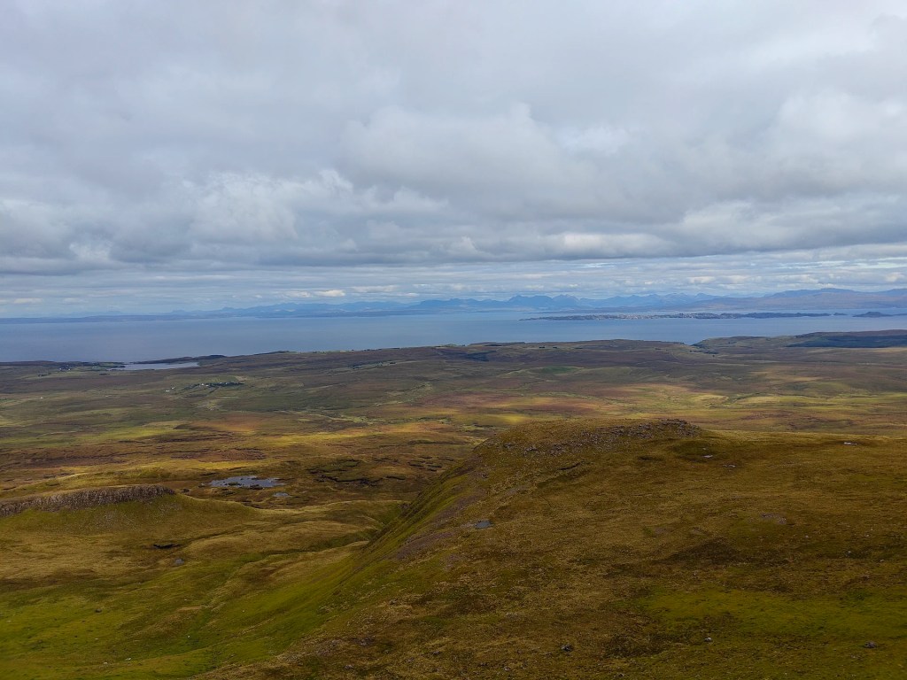
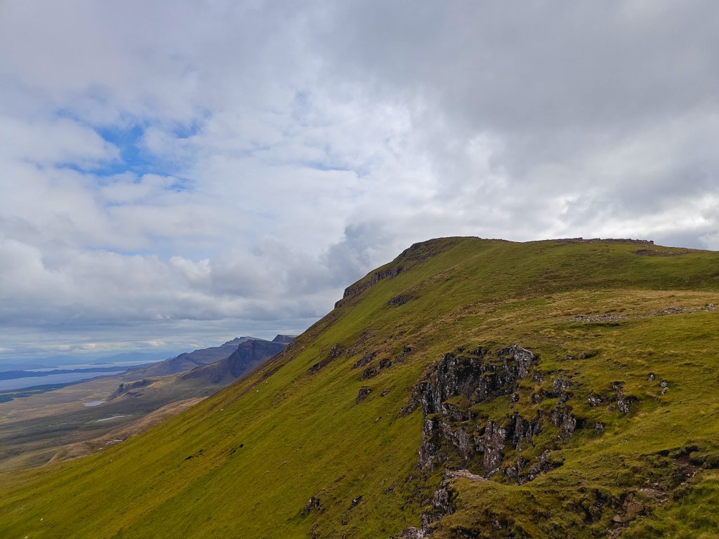
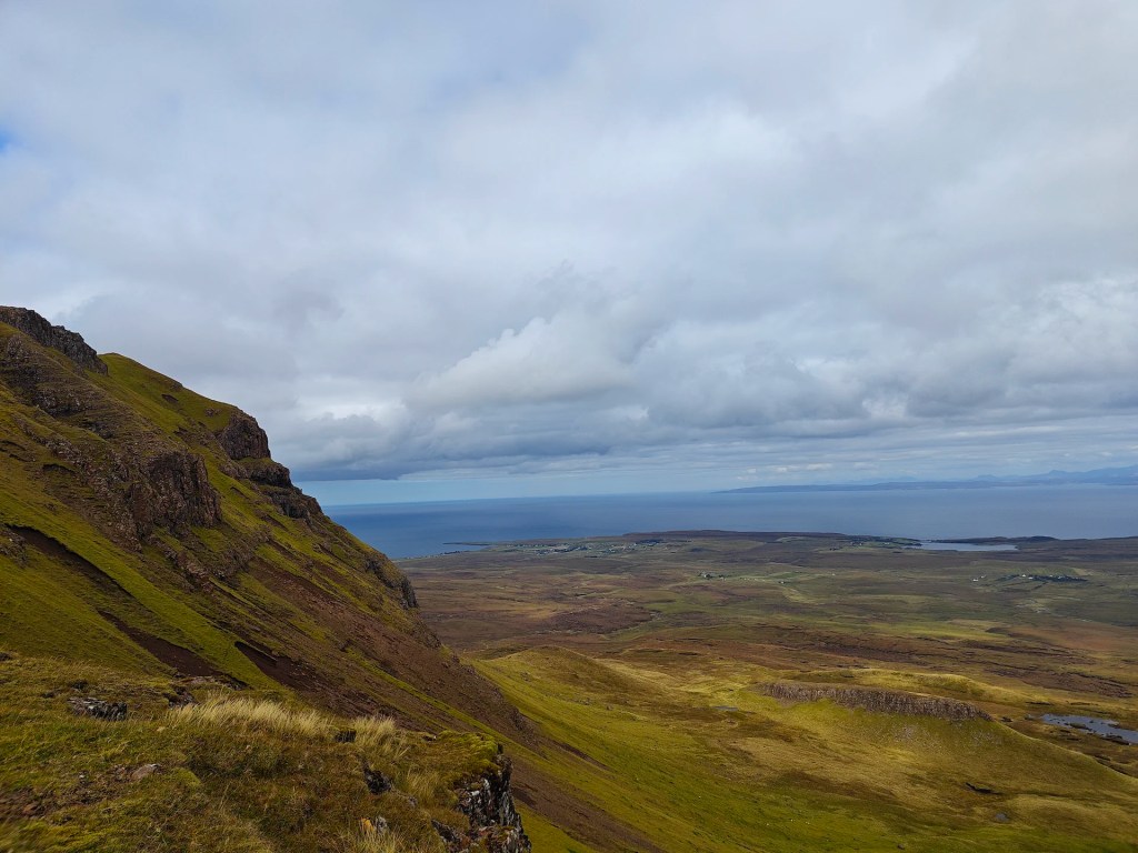
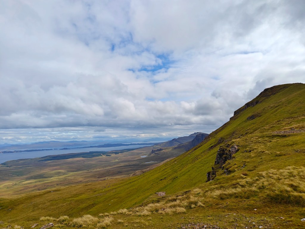
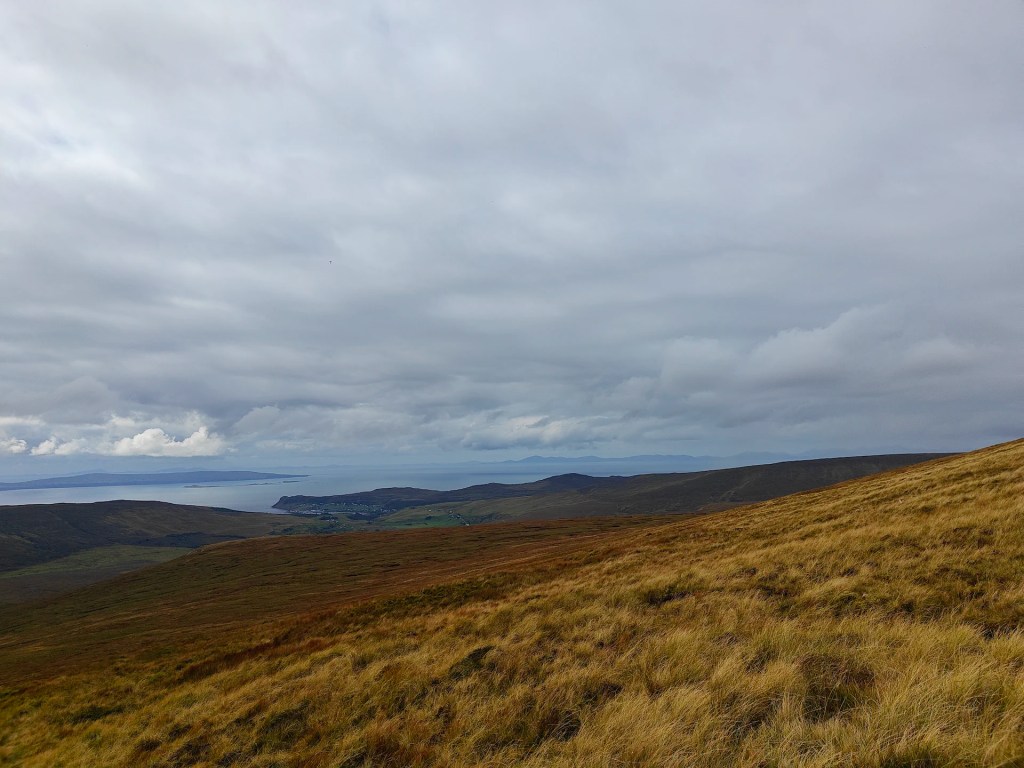
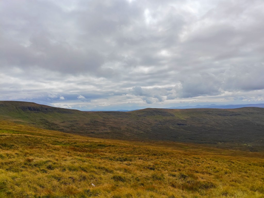
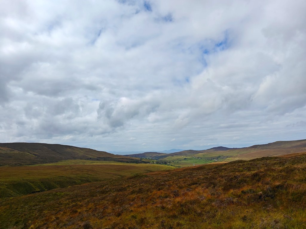
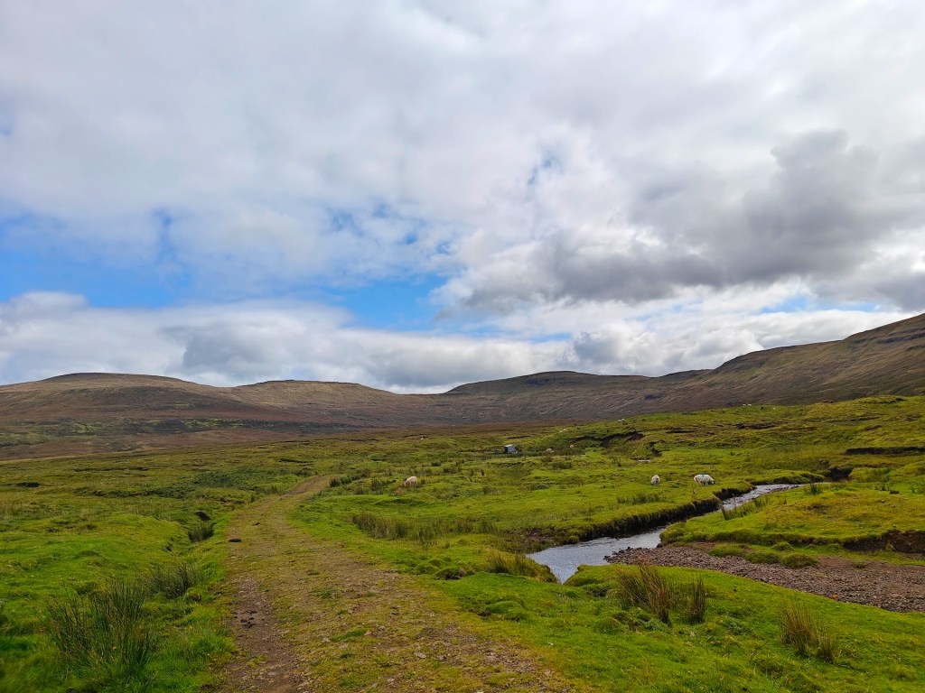
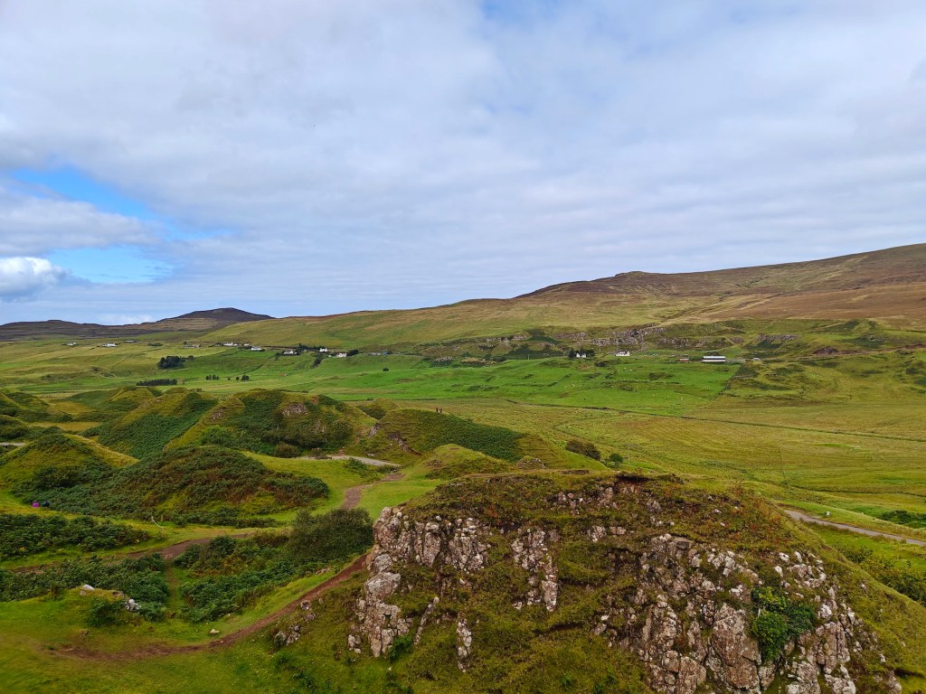
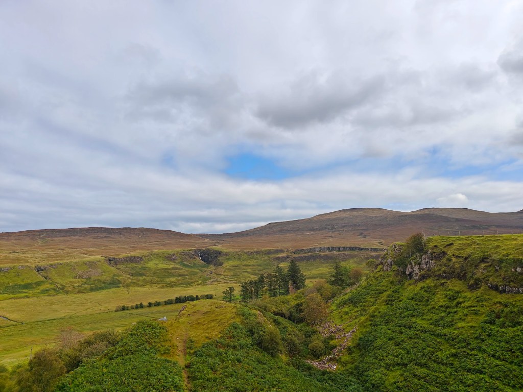
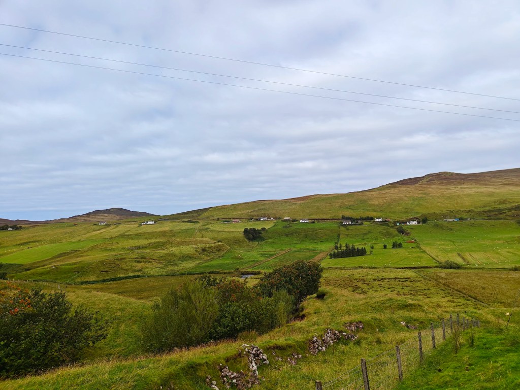
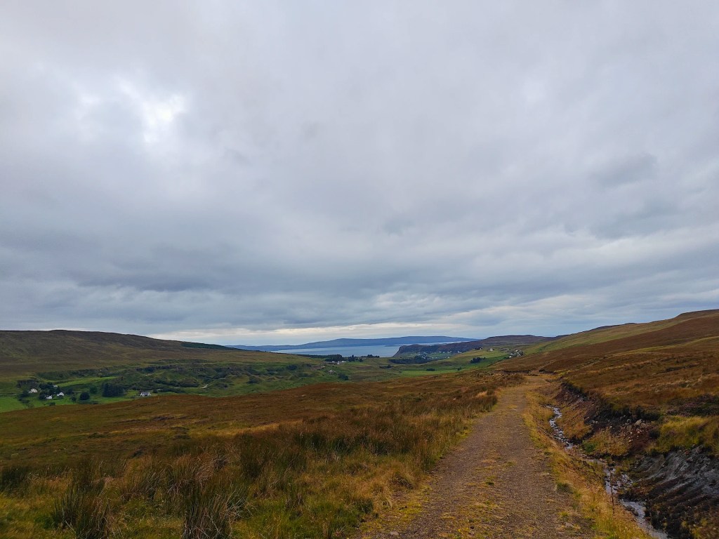
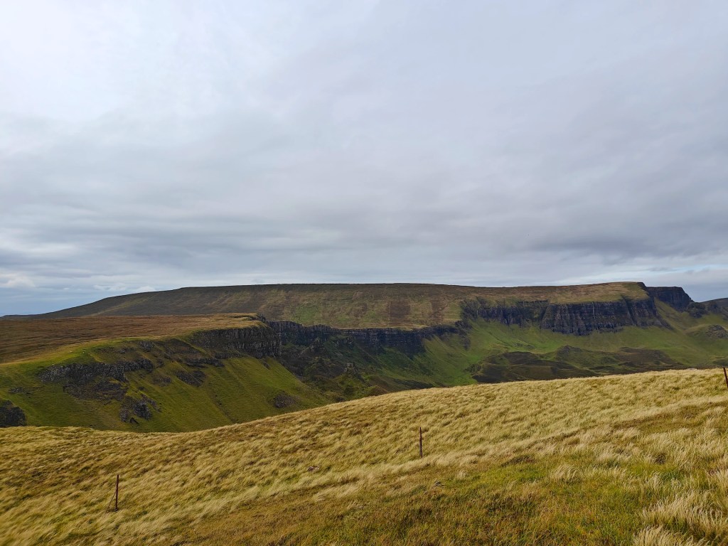
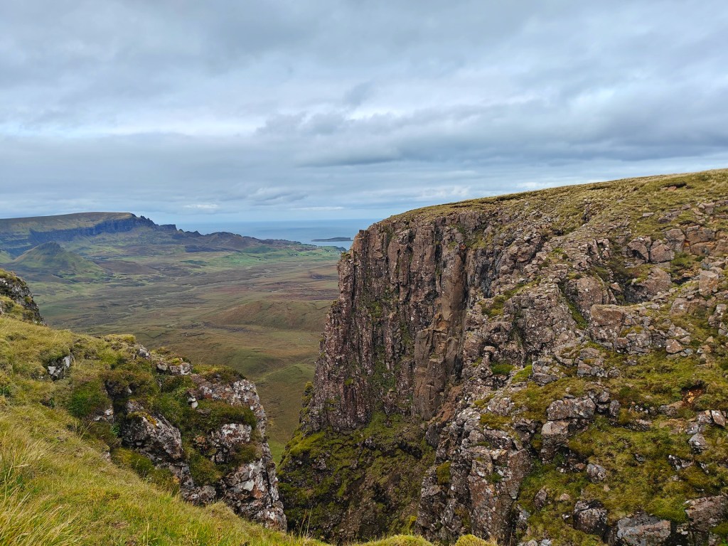
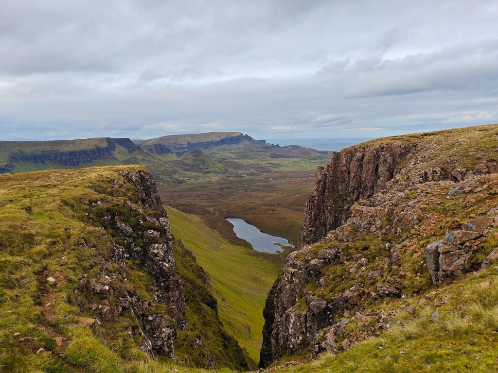
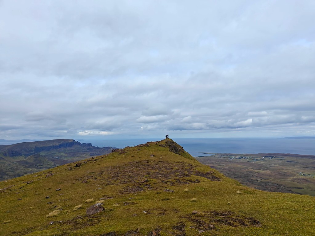
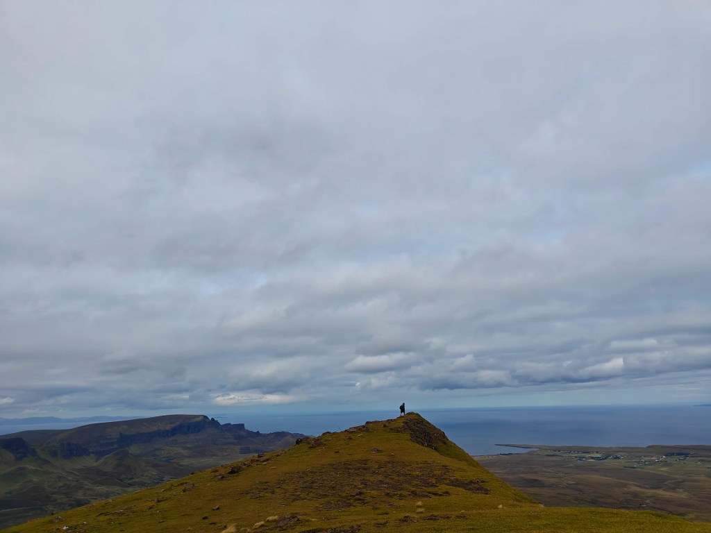
Gallery


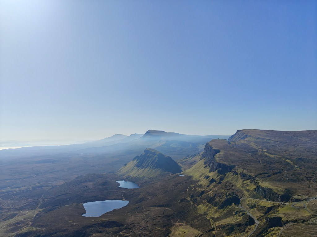
The Walk
Park in the public parking area in front of The Ferry Inn or at Uig Community Hall. From there, make your way out of Uig village on the main A87 road, heading south until you reach Sheader Road, which appears shortly after the Uig Hotel and the Tower. Turn onto Sheader Road and follow it as it climbs uphill, passing the Uig cemetery before continuing towards the renowned Fairy Glen. This area offers some very unique and worthwhile scenery, and it is highly recommended to stop for a walk around.
Continue following the road until its end comes into sight, marked by an agricultural shed. Take a right at the last fork in the road before the shed and follow the rough farm track until you reach a gate directly ahead. Pass through this gate to enter the upper reaches of Glen Uig. Follow the winding path as it traverses the glen until you pass through a second gate, roughly 1.5 miles further along the track. From here, continue a short distance until a field dyke (stone wall) appears sunken to the left of the road. Follow the line of this dyke as it tracks east-north-east; this routing helps to avoid some of the worst of the boggy ground.
As the dyke peters out, head due east until you reach the gulley containing the Abhainn Dhubh (Gaelic for Black River), a small streamlet. Follow this south-east until you find a safe and practical place to cross. Head up the opposing side of the gulley and then locate an almost perfectly straight field dyke or clear path. This distinct straight line makes its way from this area all the way up between Beinn Edra and Beinn Mheadhonach to a high saddle called Bealach a’ Mhoramhain, which loosely translates in Gaelic to the ‘Big Col’.
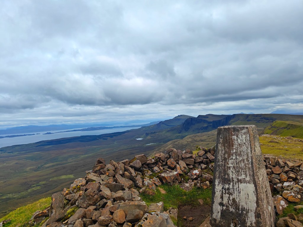
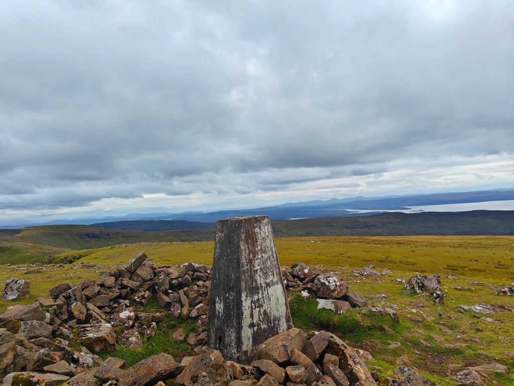
Follow the dyke until you reach the cliff face situated between Beinn Edra and Beinn Mheadhonach. From this point, climb the slope of Beinn Edra to the left, or the north. The Trig Point is located directly on the summit of Beinn Edra.
From the summit, you have two options for the descent: you may either retrace your steps exactly the way you came, or you can complete a full loop.
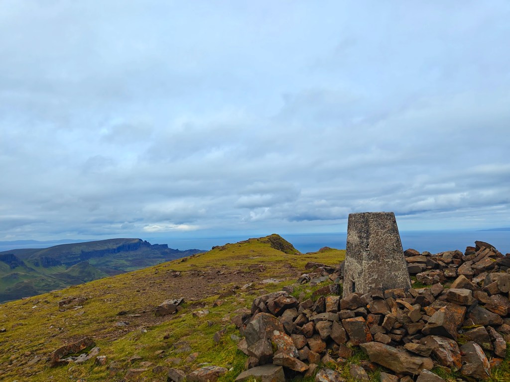
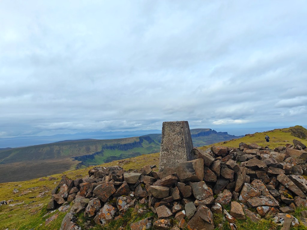
I personally suggest making the trip a full loop to experience both sides of the gorgeous Glen Uig. To do this, continue over the summit, following the ridgeline of the Trotternish Ridge as it winds to the north-west for a short distance before heading due west to join up with a small single-track road that leads back down toward Uig.


Leave a comment