| Altitude | 807 Feet |
| Trail Conditions | Gravel Road and short hilly bog section |
| Difficulty | Low |
| Experience | 3/10 |
| Est. Time | 2 hours |
| Distance | 4 Miles |
| Starting Location | End of Upper Edinbane |
History of the Local Area
Although there has been some form of settlement in the Edinbane area since before 1600, Edinbane as it’s currently known was founded by Kenneth MacLeod of Greshornish.
Kenneth MacLeod, whose family farmed in Gesto, Skye for over 500 years, left for India at age 15 with only a paid fare and a golden guinea (Around £440 in current tender). After a year of work, he used that guinea to buy a copper boiler at an auction, later selling it in Calcutta for £30. With the profit, he bought the derelict sugar factory where the auction took place—marking the start of a fortune made in indigo planting.
Returning to Skye, Kenneth tried to buy Gesto but was refused. Instead, he purchased large areas of the island including Edinbane, Orbost, Skeabost, and parts of Portree. In Edinbane, he established the island’s first hospital, named Gesto, and ensured the community had all key trades.
That small settlement grew into the Edinbane we know today. The old hospital has since been restored as luxury holiday accommodation: Owlswood and Owls Nest.
As you start ascending Ben Uigshader there are signs of habitation from likely the medieval period including the remains of what appears to be a rough stone home. No excavations have been carried out in the local area though.
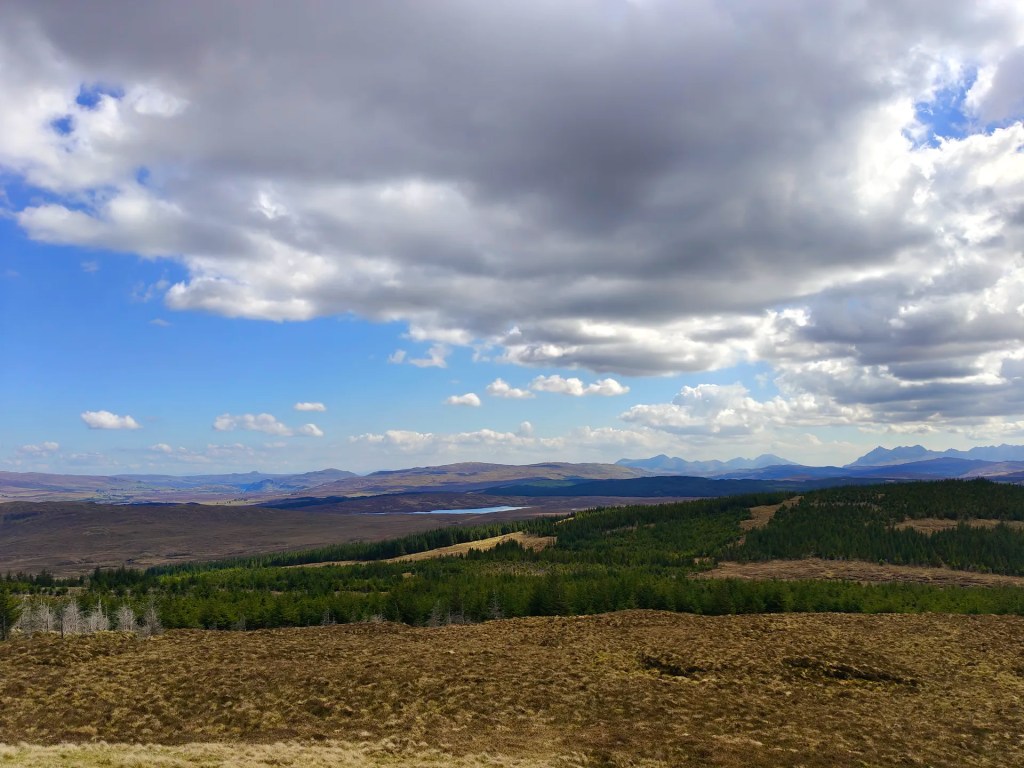
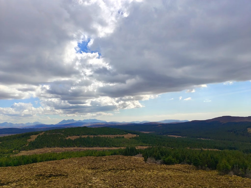
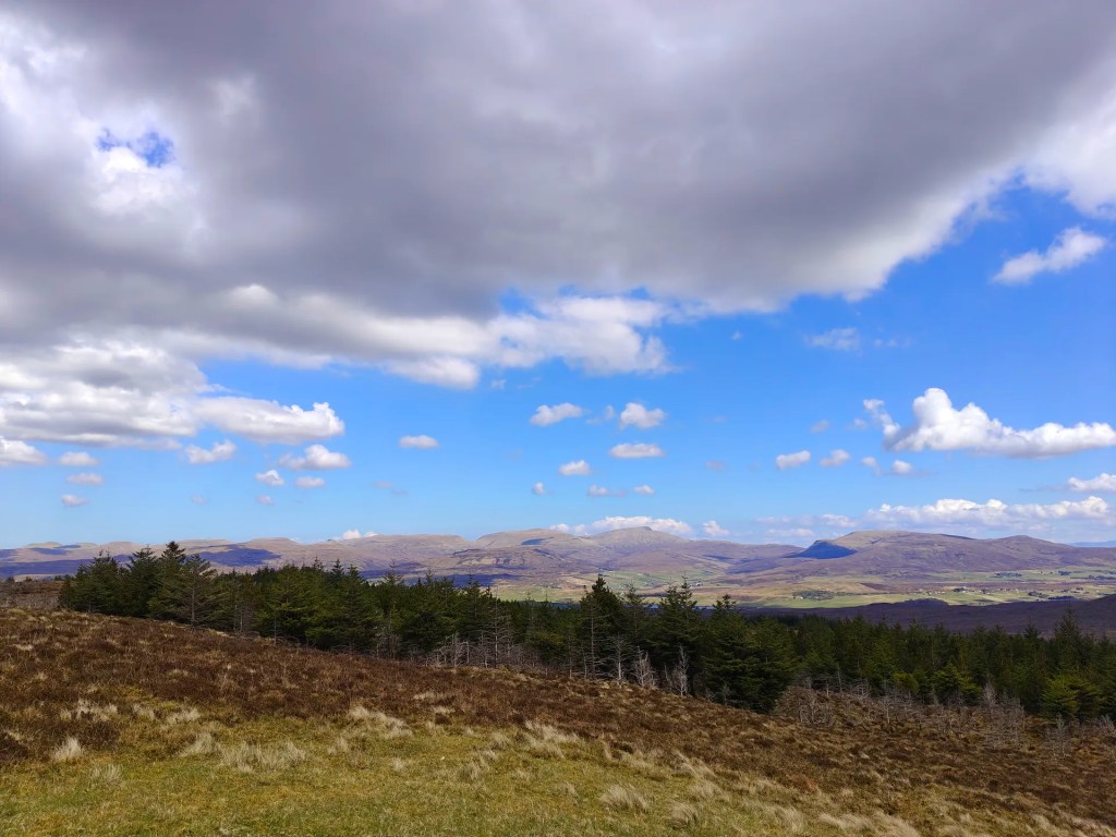
Gallery
The Walk
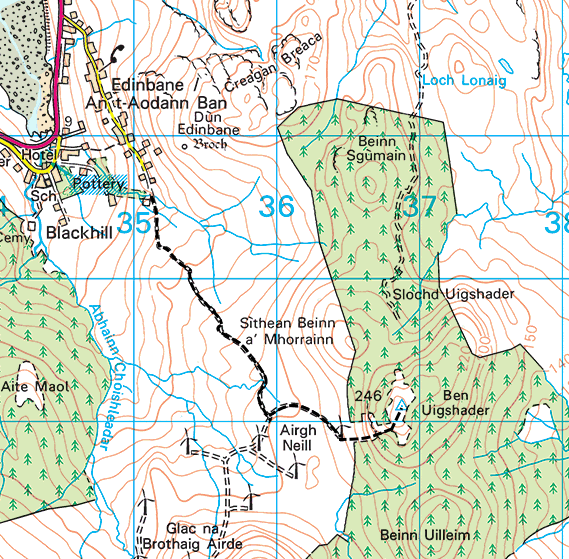
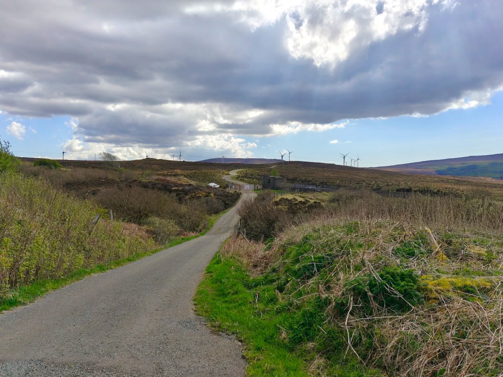
This walk begins near the end of the Upper Edinbane Road, just before you reach the Kerral Burn. Look for a small parking space on the right-hand side, park considerately, ensuring not to block any access points then set off on foot towards the end of the road.
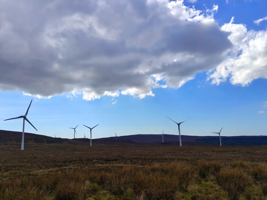
Go through the double gate and follow the track as it gently winds uphill toward Airigh Neill (Gaelic for Niall’s Hill Pasture) and the distant wind turbines that mark the skyline.
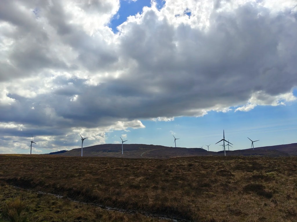
As you continue, you’ll come to another gate. Pass through it and take the left-hand path that curves around toward the easternmost wind turbine. This route gradually leads you in the direction of Ben Uigshader.
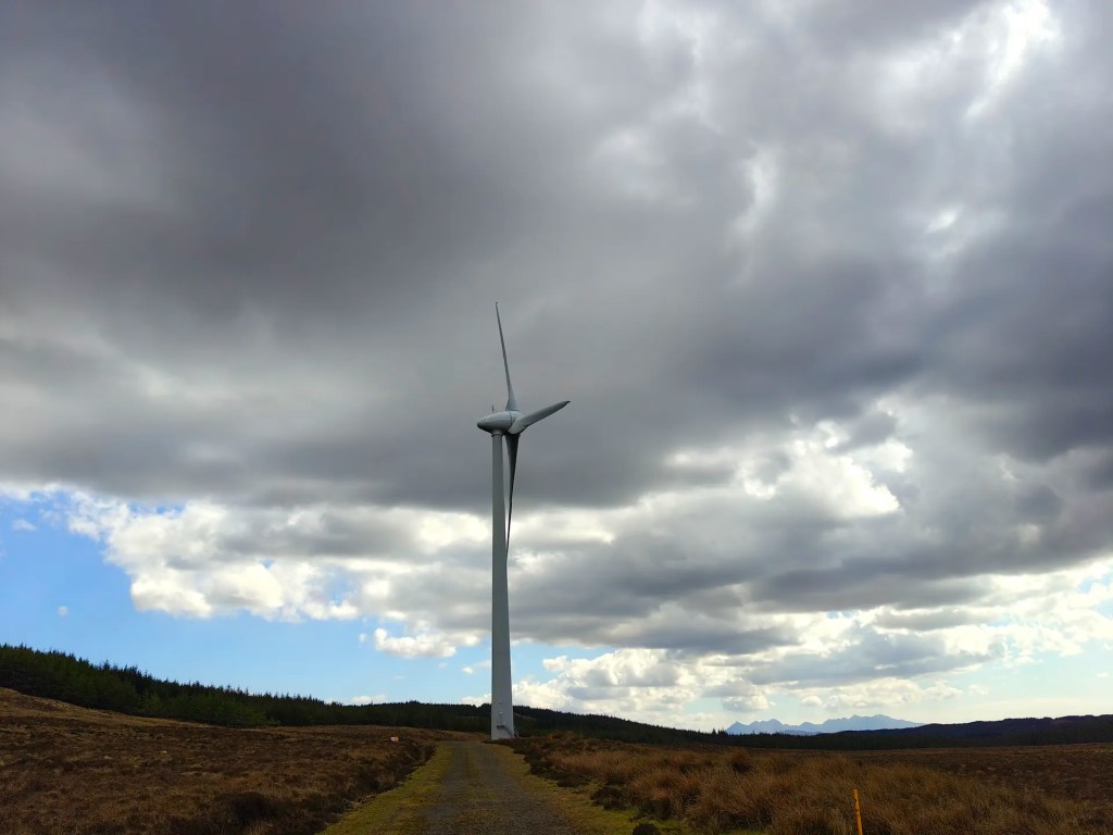
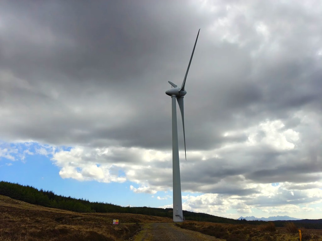
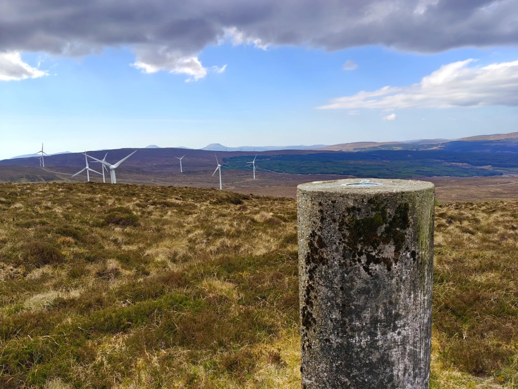
When you reach the base of the wind turbine, take a moment to admire its towering structure and the odd, rhythmic swish of the blades slicing through the air. It’s a strangely hypnotic sound, almost otherworldly in such a remote setting.
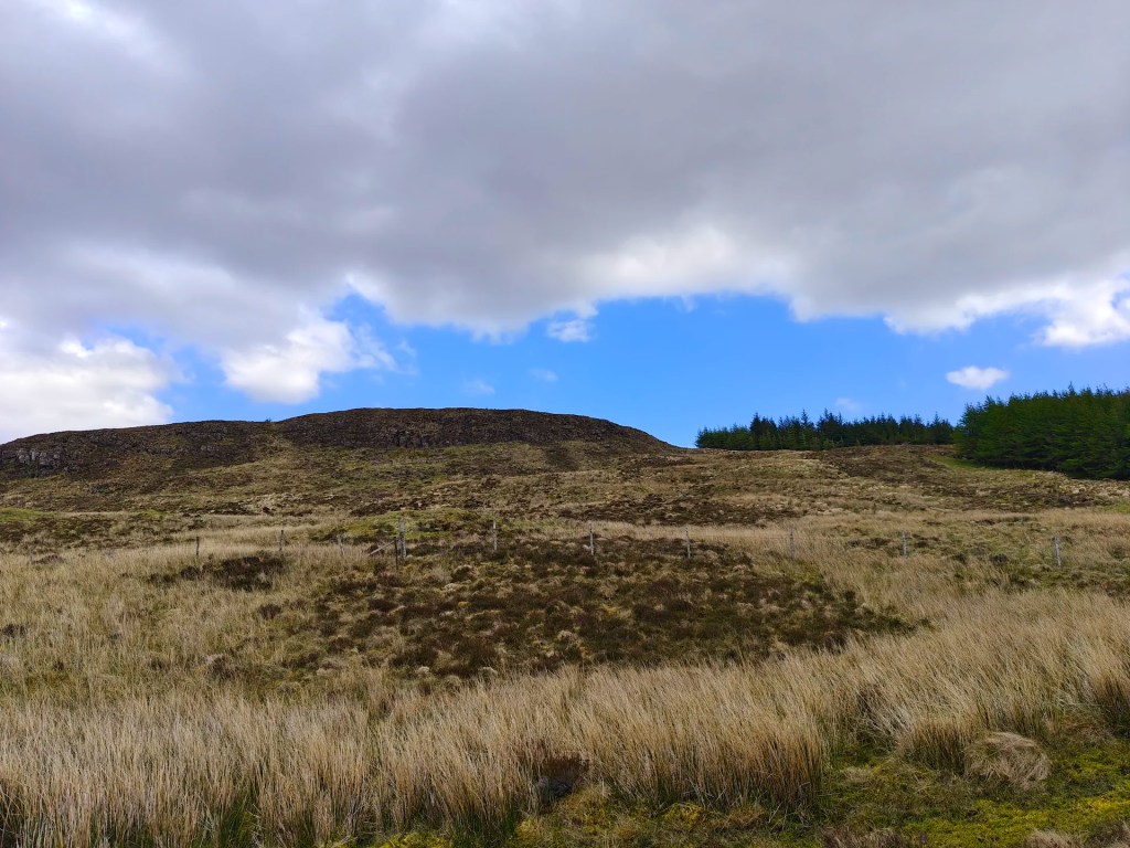
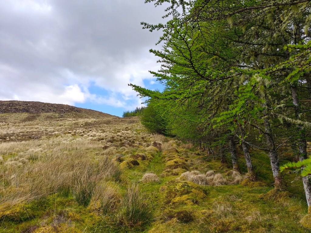
From here, leave the track and head off to the left, crossing over rough, boggy ground. Look for a suitable place to cross the fence (there’s no official stile) and begin the ascent up the hill. Stick close to the treeline on your right to avoid the worst of the marshy patches.
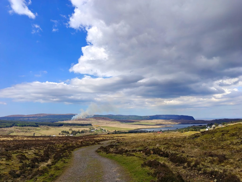
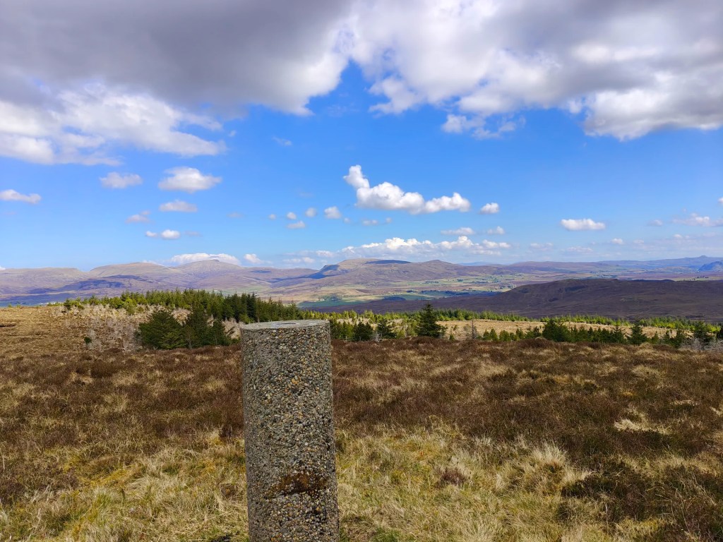
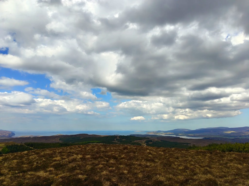
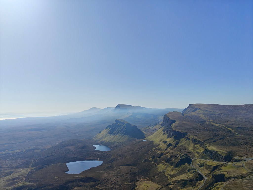
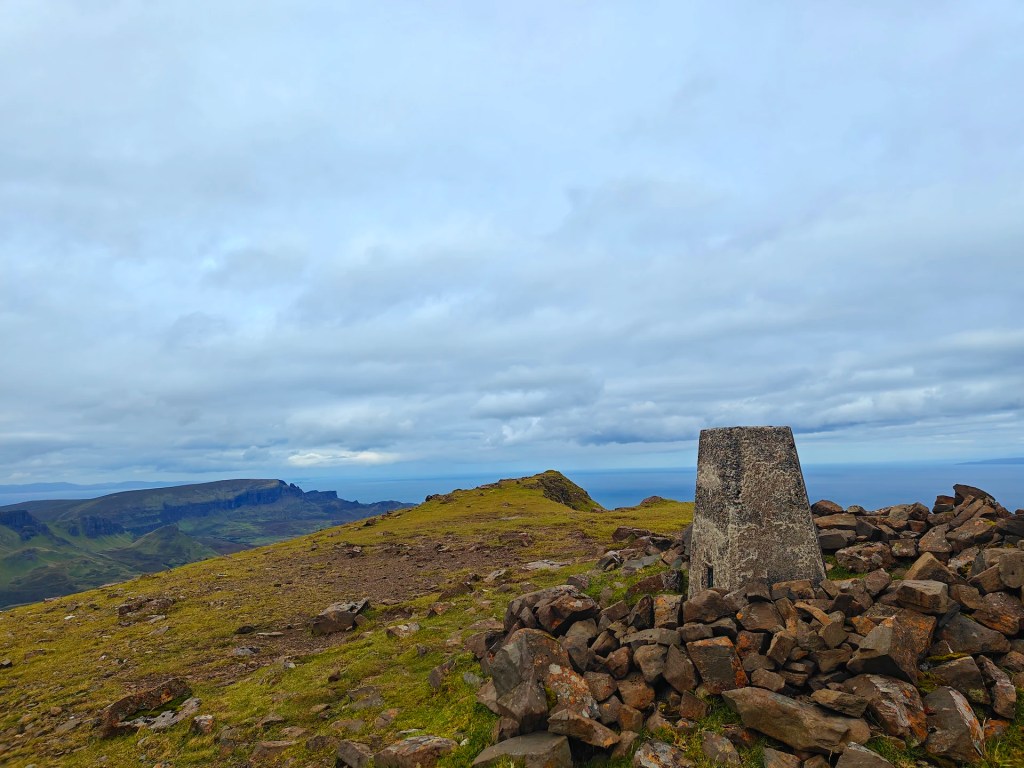
As you near the summit, the Trig Point will come into view on your left. Be sure to wander around the broad plateau at the top, the views are well worth it. On a clear day, you’ll enjoy sweeping panoramas: the Cuillin mountains rising to the southeast, Carbost tucked off to the east, and Loch Snizort stretching northward.
When you’re ready, simply retrace your steps to return to the starting point.


Leave a comment