| Altitude | 1030 Feet |
| Trail Conditions | Farm Road followed by uphill bog, before grass fields and white sands |
| Difficulty | Low |
| Experience | 9/10 |
| Est. Time | 3-4 hours |
| Distance | 5 Miles |
| Starting Location | Claigan Coral Beach Car Park |
History of the Local Area
Beinn Bhreac, the mountain where the Trig Point is situated, is a common name across Scotland. The name translates to “Speckled Mountain” in Gaelic, reflecting a tendency for places like this to have descriptive rather than unique names.
The entire area is rich with historical remnants, including ruins of settlements, souterrains, a distilling site, a kelp pit, and even prehistoric hut circles.
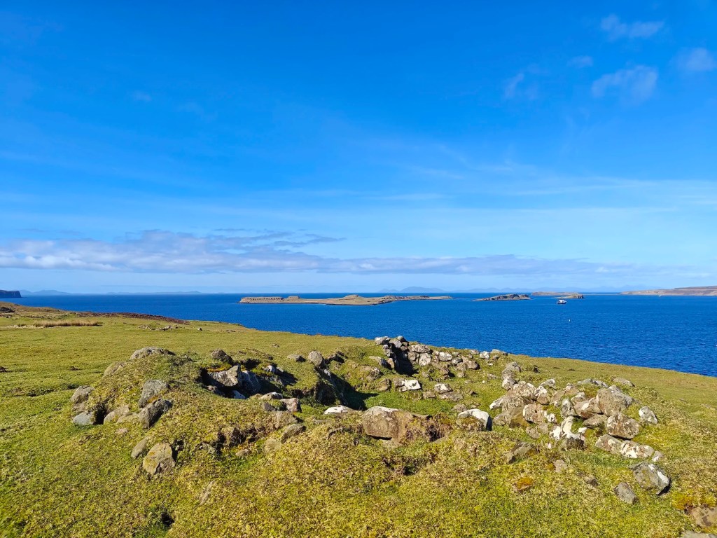
The most striking of these is likely the ruins found north of the Claigan peninsula, just south of Lovaig Bay. Here, a series of ten drystone buildings form a small settlement that must have once been a picturesque place to live. While absent from modern maps and even Ordnance Survey records, this township appears to have been called Scoravday or Scoravay, according to Murdoch MacKenzie’s 1775 map of the area. It seems to have been cleared around 1841.
Another former township may be found near the area marked Cnoc Mòr a’ Ghrobain, which translates loosely to “Rough Big Hill” in Gaelic. This settlement, known locally as Groban, consisted of around eight houses, several outbuildings, and various enclosures. It likely remained inhabited until sometime after 1824, as it appears on John Thompson’s 1824 ‘Map of the Skye Island.’ Given the location, it was probably cleared around the same period as Scoravay to the northeast.
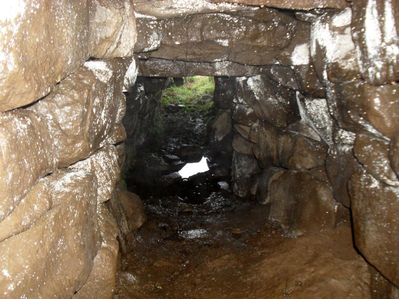
Near the start of the walk, a prehistoric souterrain can be found a little to the northeast of Claigan Farmhouse. Based on images available online, it appears to be an impressive structure. However, I would advise against entering, as it could be hazardous. Souterrains were predominantly used during the Iron Age, though their exact purpose remains debated. The prevailing theory suggests they were used for storing perishable goods during winter, though like many ancient structures, they likely served multiple functions over time.
For those interested in seeing a souterrain up close, a publicly accessible one can be found near Uig. Known as the Kilvaxter Souterrain, it provides a rare opportunity to explore one of these fascinating structures. A link to more information about Kilvaxter Souterrain can be found at the end of this post.
Gallery
The Walk
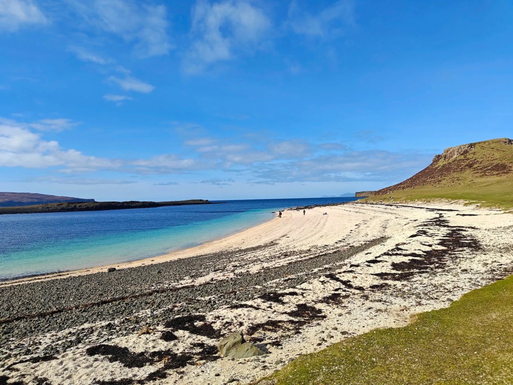
This is one of those rare walks where the Trig Point isn’t necessarily the highlight of the journey. Instead, this circular route offers breathtaking scenery, including the stunning Coral Beach. While it’s possible to head straight to the Trig Point and back to the car park, doing so would mean missing out on some truly spectacular views.
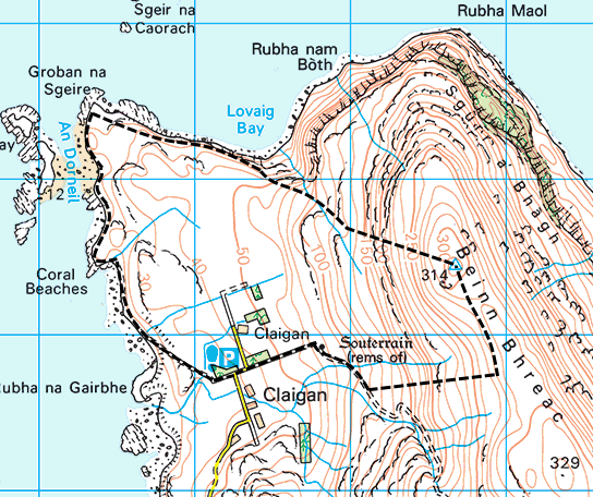
The walk begins at the Coral Beach public car park in Claigan, a short drive from Dunvegan. There’s ample parking, but it can be busy during the summer months.
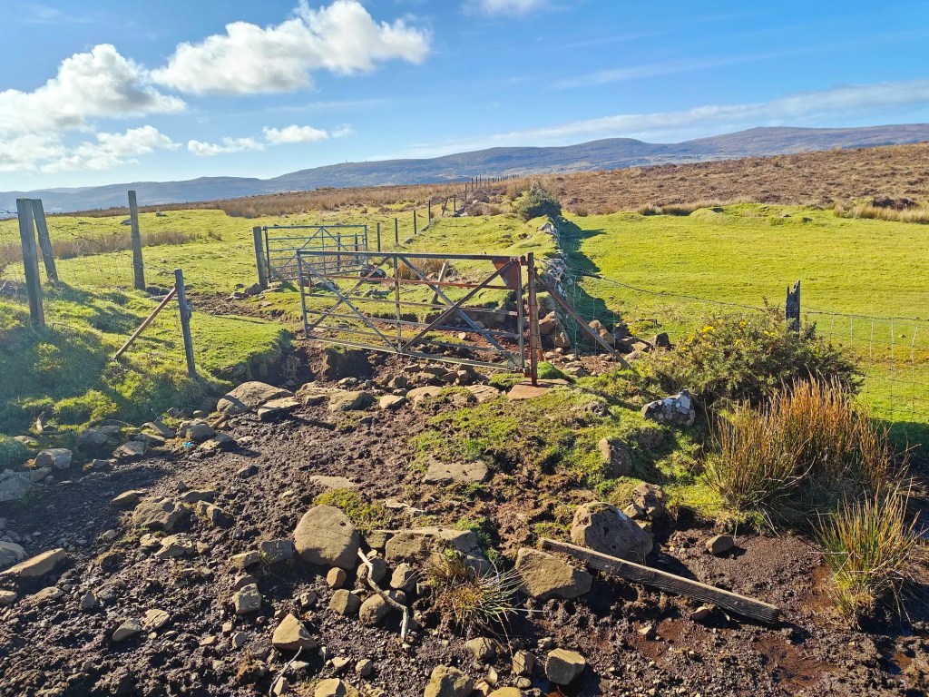
From the car park, head east toward the entrance and continue up the hill along the road. Pass through a gate, and as the road bends left, look for a stile and gate on the right-hand side. Cross over the stile and follow the farm track uphill.
Pass through another gate and continue along the track as it curves to the right. Follow it until the electrified fence ends, where you’ll spot a wooden gate where the fences meet to the north.
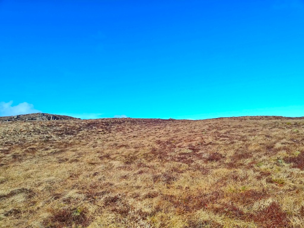
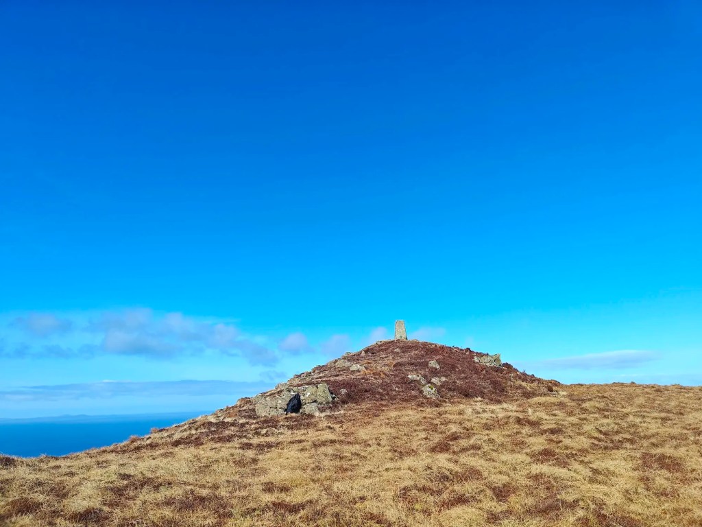
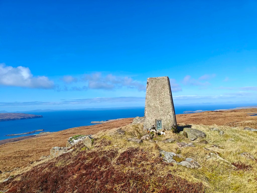
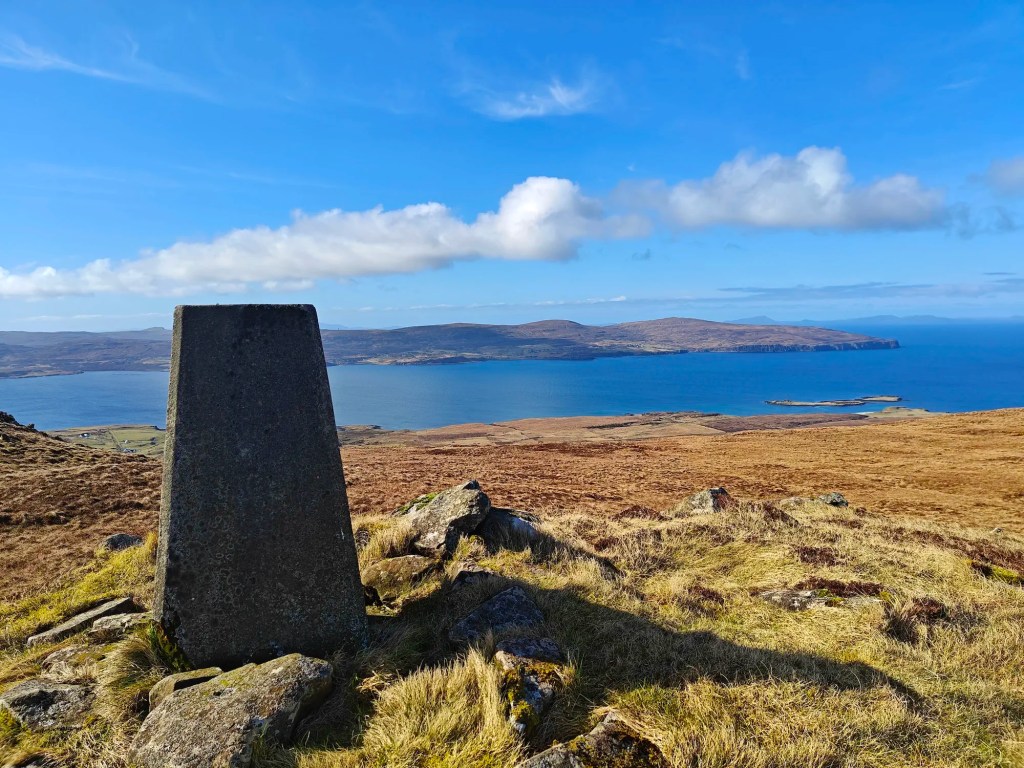
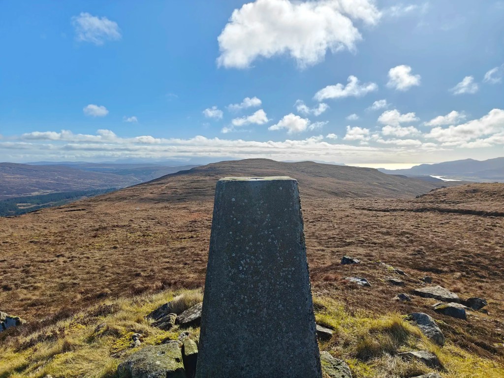
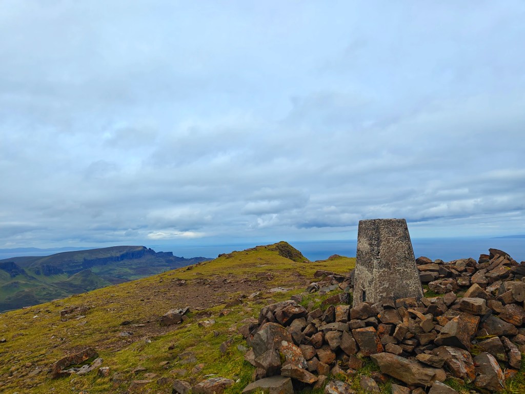
At this point, leave the track and climb uphill toward the wooden gate. Pass through it, then through a second, smaller wooden gate to the left. Follow the fence line as it winds up the hill. The easiest footing can be found by sticking to the sheep trails. As you near the ridgeline, begin heading north toward the rocky summit, where you’ll find the Trig Point on a smaller summit just to the east.
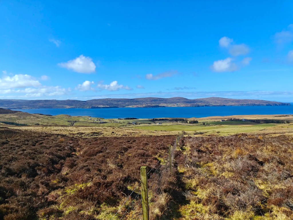
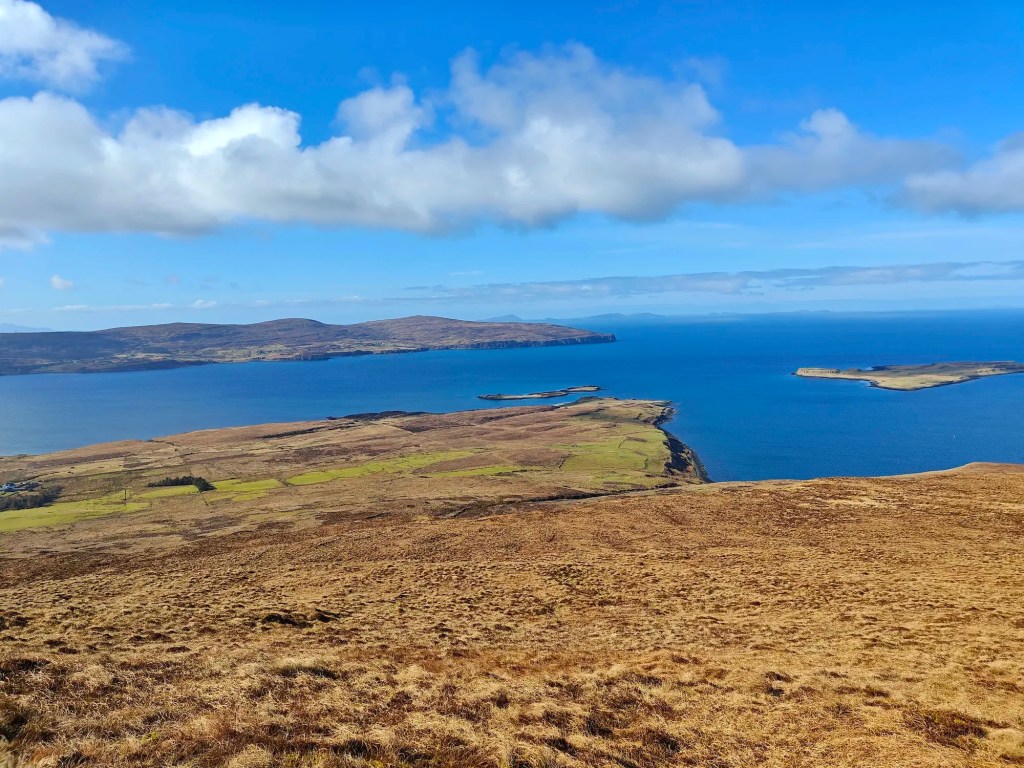
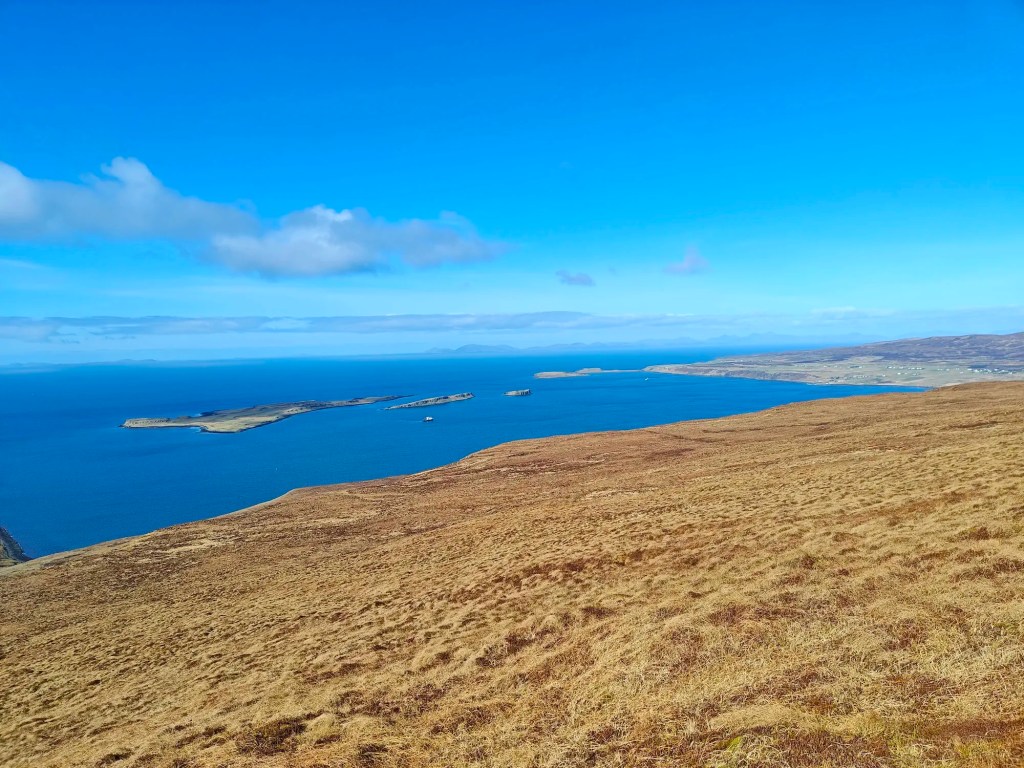
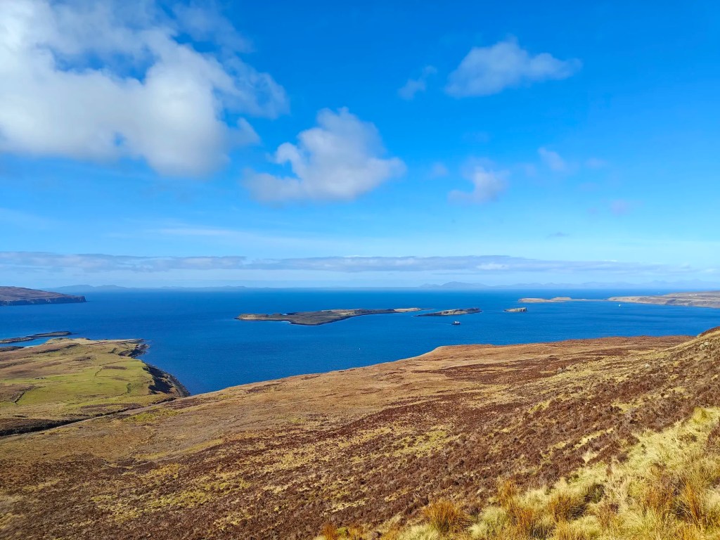
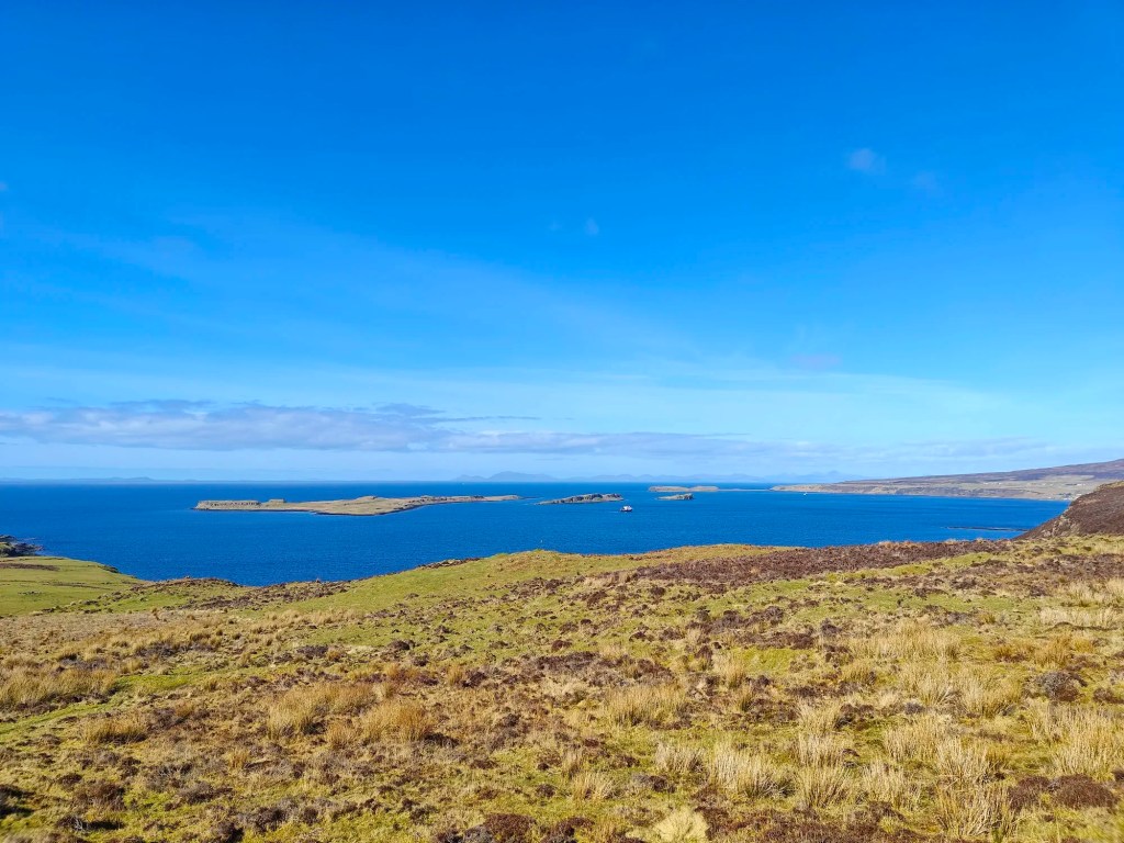
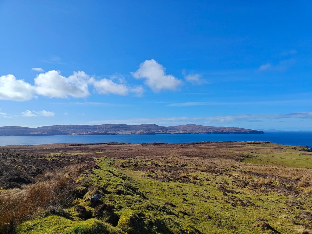
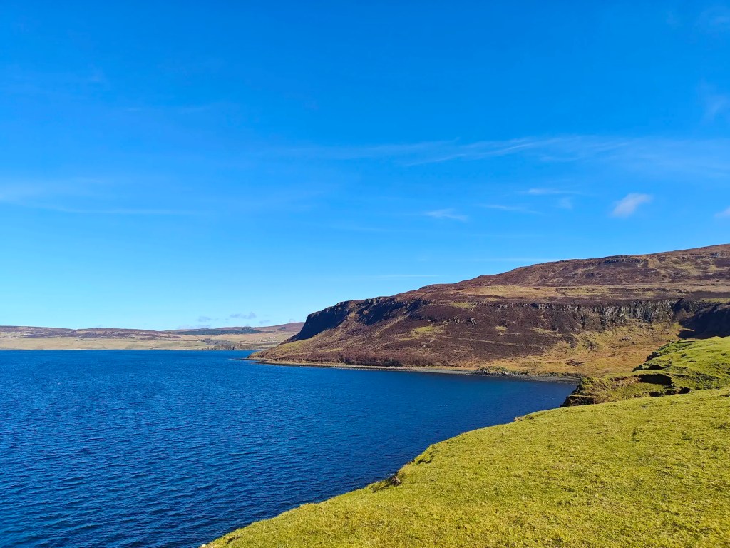
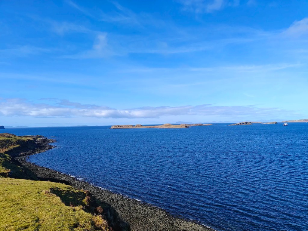
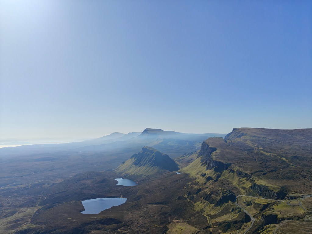
From here, you’ll be rewarded with panoramic views: the small islands of Iosaigh, Mingay, and Clett to the north, Loch Dunvegan and Boraraig to the west (another excellent Trig Point walk), and Waternish to the east.
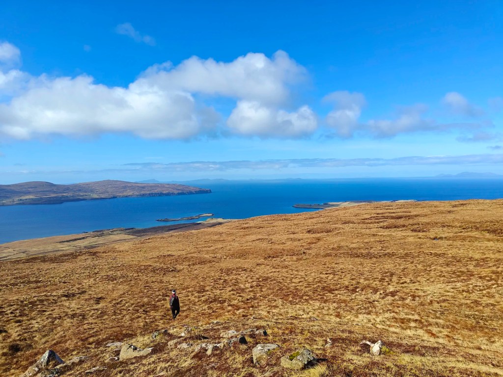
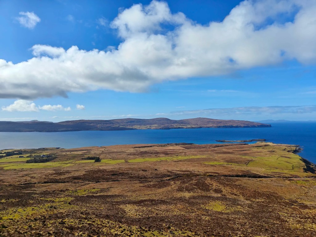
To continue, head northwest toward Lovaig Bay, carefully navigating down the steep slope until you reach flatter ground. From here, move westward, aiming for the lush green pastures at the tip of the peninsula.
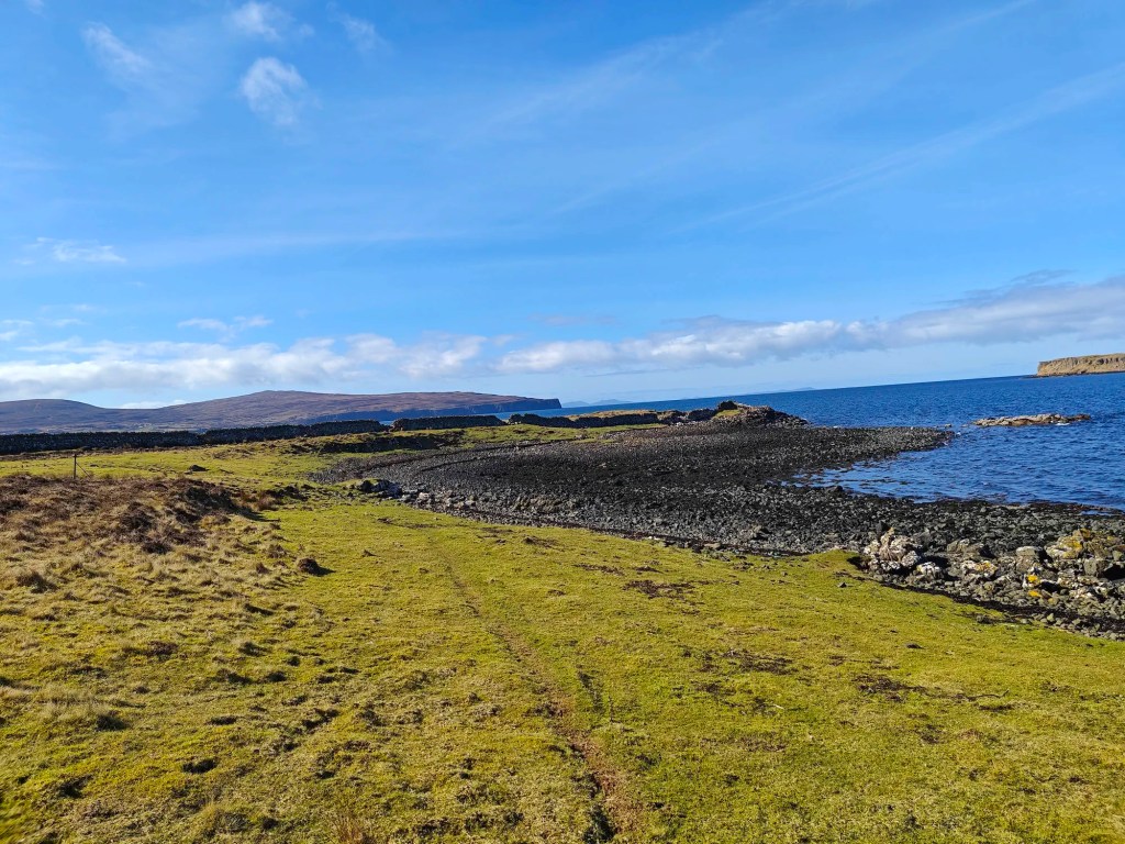
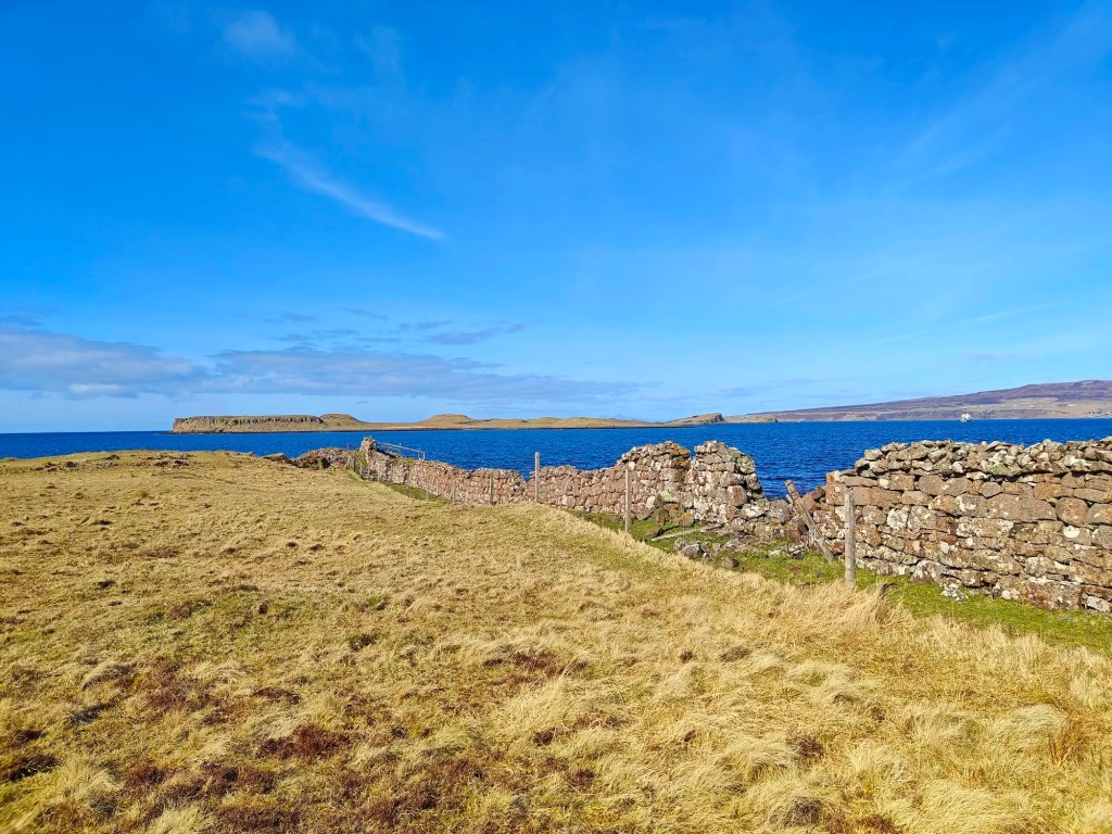
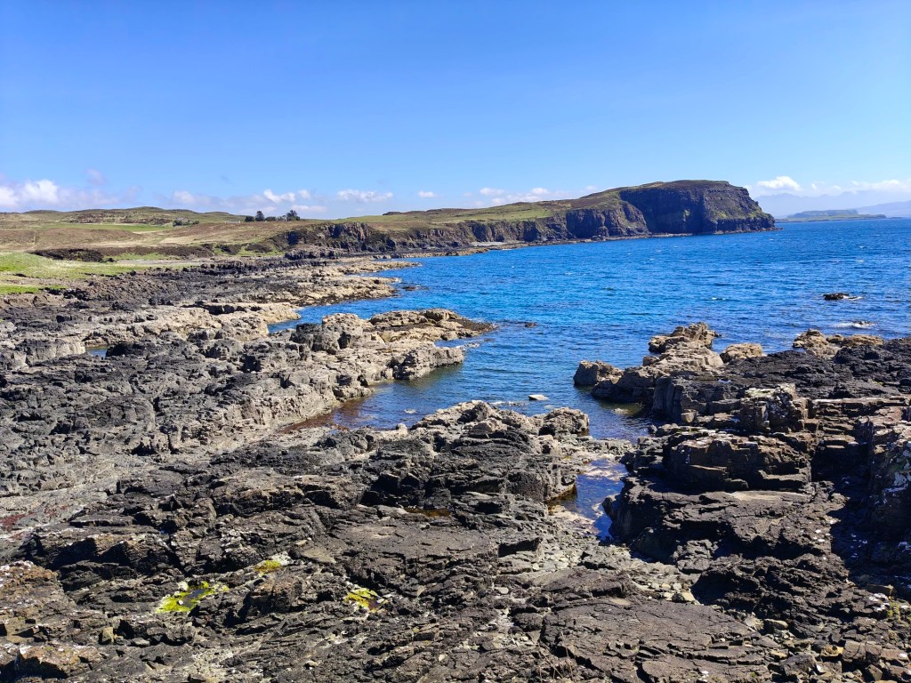
Once on the pastures, follow the well-trodden sheep trails northwest along the coastal track until you reach a large stone wall. Along the way, take a moment to explore the fascinating ruins of a cleared settlement. This site once housed around ten drystone buildings, including a kiln. Unfortunately, much of the stone was repurposed over time, and the area was later used for sheep farming, with the largest structure converted into a sheep fank.
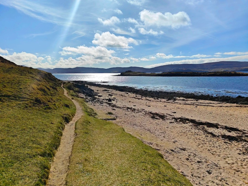
When you reach the large stone dike, pass through one of the existing gaps and continue along the peninsula’s edge until you arrive at Coral Beach.
From here, follow the well-defined coastal path back to your starting point, taking in the final stretch of breathtaking scenery before concluding your walk.


Leave a comment