| Altitude | 1,440 Feet |
| Trail Conditions | gravel track followed by short cross country boggy terrain |
| Difficulty | Low |
| Experience | 7/10 |
| Est. Time | 2-3 hours |
| Distance | 5-6 Miles |
| Starting Location | south east of Meadale on the A863 |
History of the Local Area
Much like many areas of Skye, Meadale was once home to several settlements, including 17 known sites scattered around the Bealach Mòr valley. These sites are primarily linked to post-medieval times and likely formed a small crofting community, complete with expansive lazy beds. As you walk, you’ll follow a field dike that dates back to at least this period.
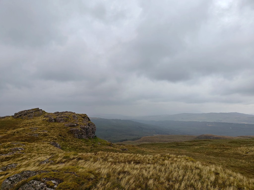
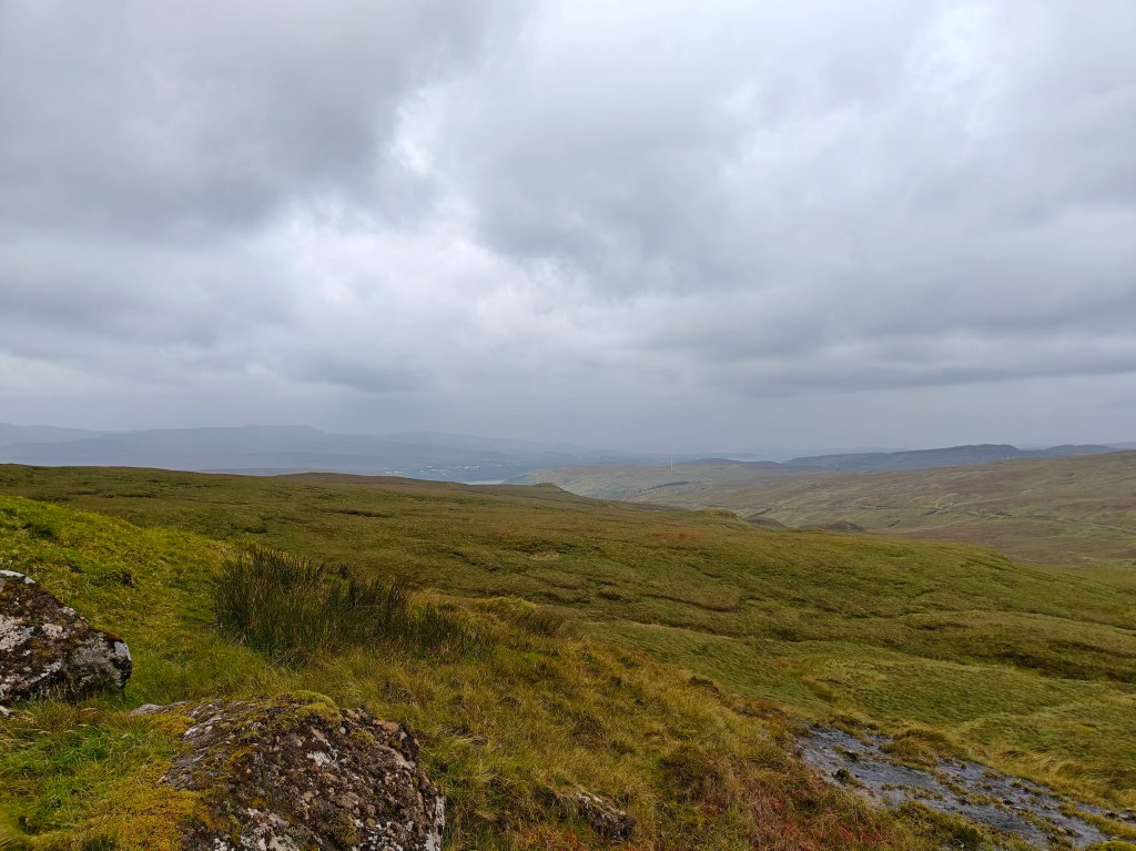
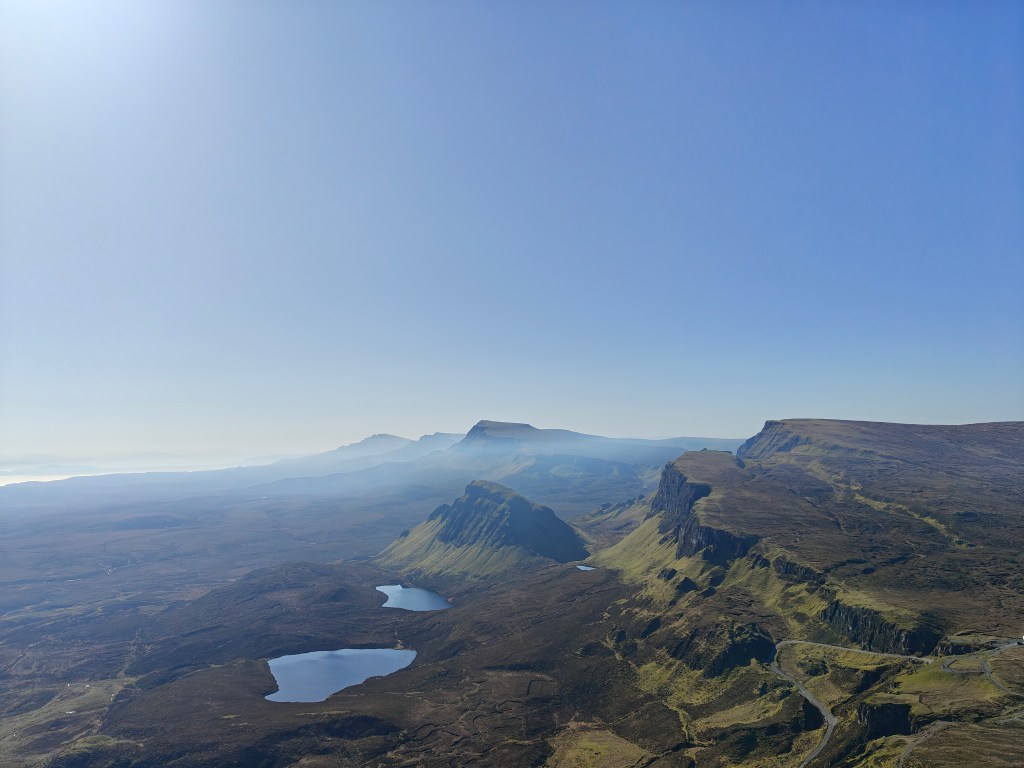
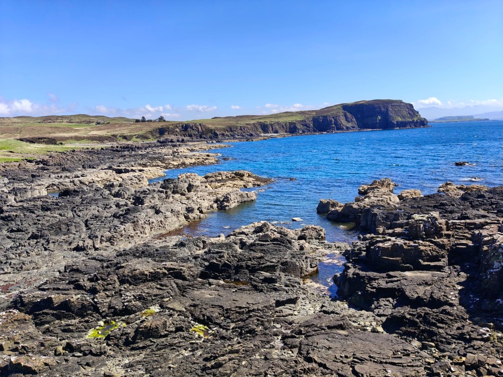
Gallery


The Walk
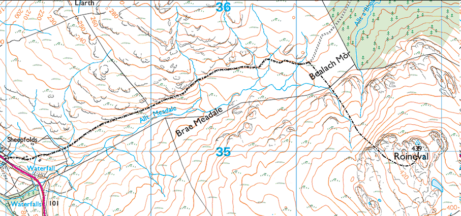
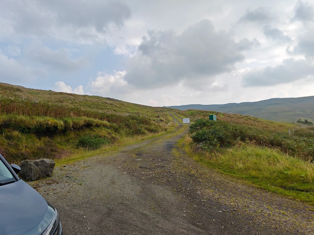
To start your walk, park at the turn-off from the junction on the the A863, located just southeast of Meadale and northwest of the metal barns. Be sure not to block any access points. You can use the Allt Meadale (Meadale stream in Gaelic) as a landmark, with the parking spot situated northwest of it along the road.
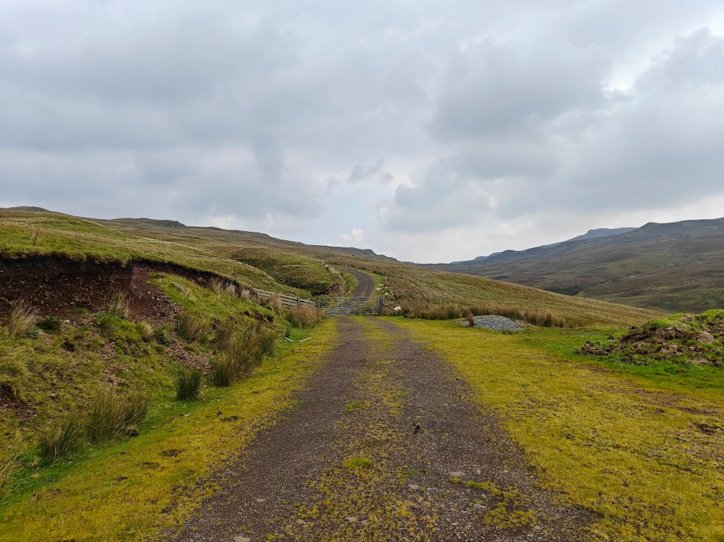
Begin by passing through the gate and following the road toward Bealach Mòr (Big Pass in Gaelic). The road gently ascends, offering a pleasant uphill walk. Continue for approximately 1.5 miles, stopping just before you reach the Glen Tungadal forest.
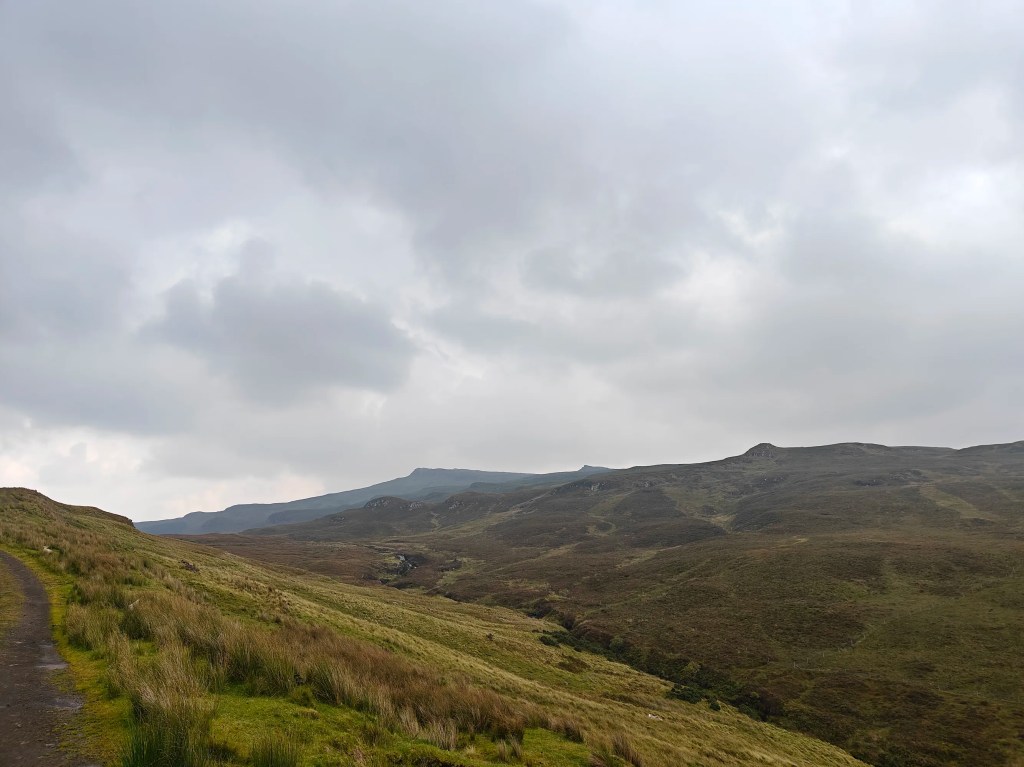
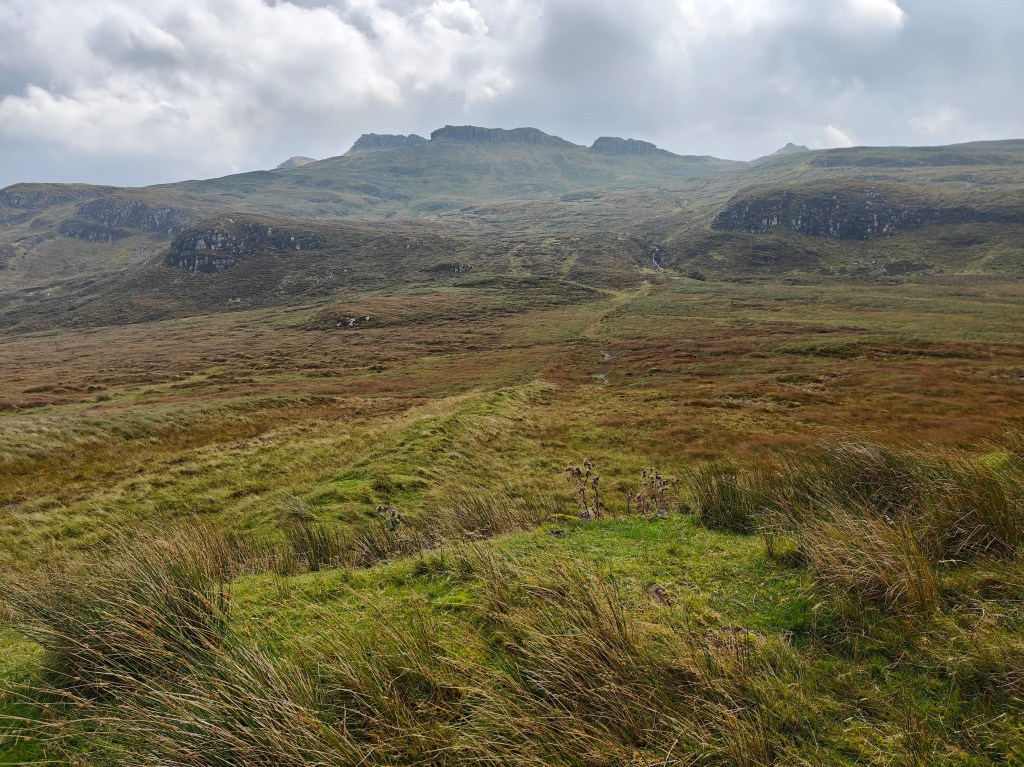
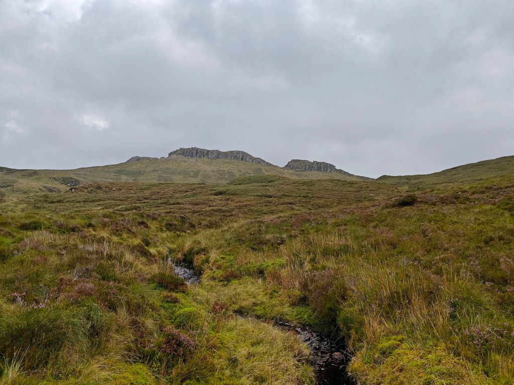
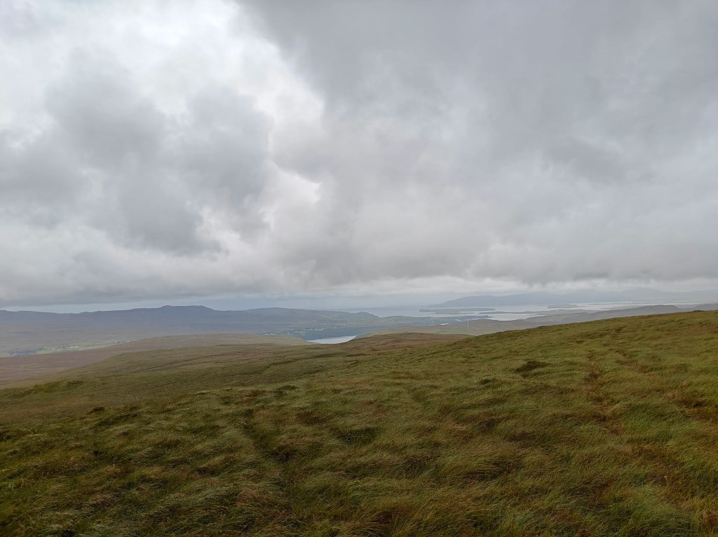
As you look southeast toward Roineval, you should spot a distinct remnant of a field dike running from just below the road to the main tributary of the Allt Meadale stream. Follow the dike across the boggy moorland, as it will help you avoid the worst of the wet ground.
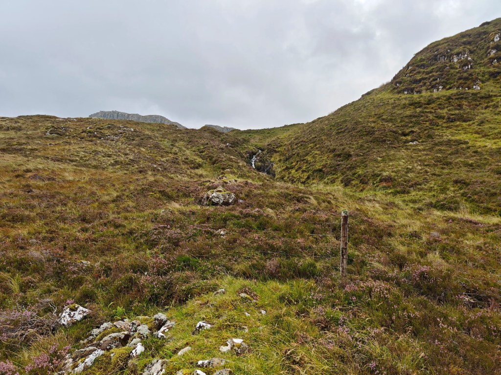
When you reach the end of the dike, cross the fence directly in front of you. Then, follow the left-hand side of the Allt Meadale stream up the hill, aiming for the pass between the escarpments near the hilltop.
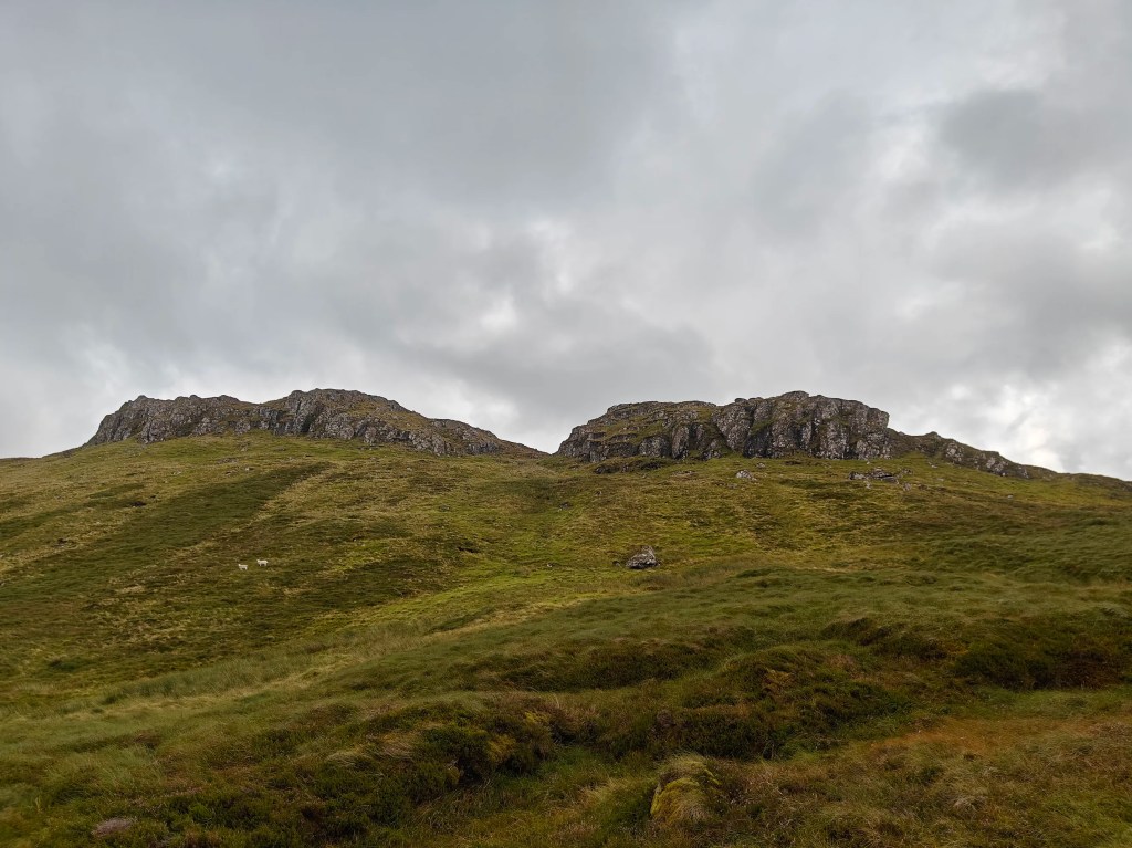
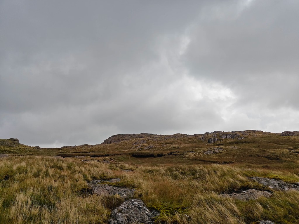
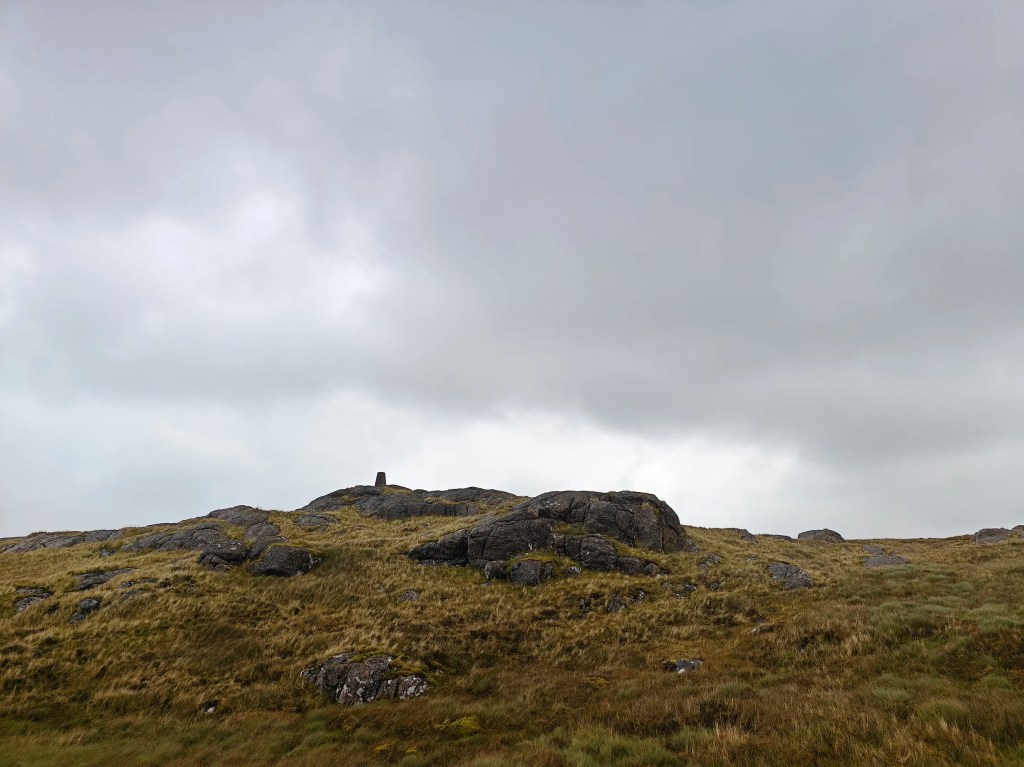
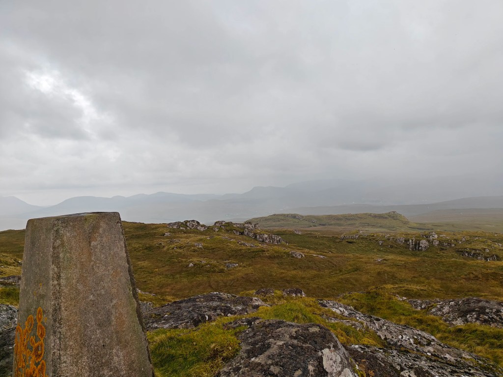
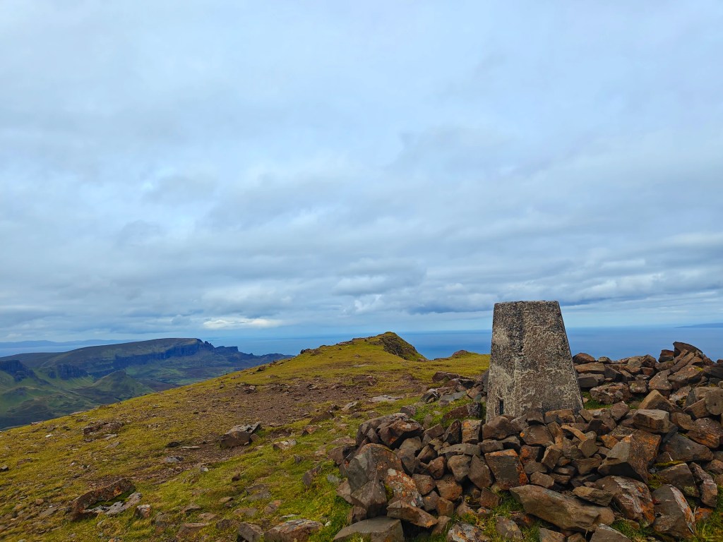
Climb the final uphill stretch onto Roineval, then circle around the summit to the southeast, staying on higher ground and rocky areas to avoid the deepest bogs. The trig point should come into view as you approach the summit.
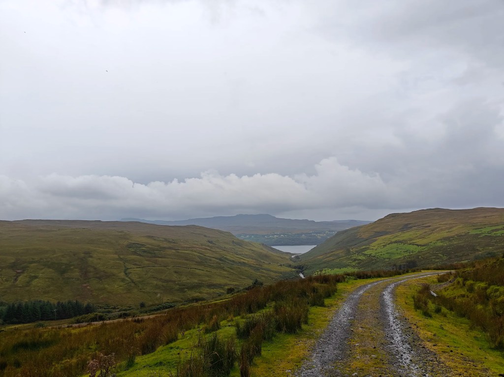
This is the highest peak in the area, offering breathtaking views of the Cuillins to the south, Macleod’s Tables to the west, and the Glenmore valley to the northeast.
To return, simply retrace your steps along the same path.


Leave a comment