
| Altitude | 213 Feet |
| Trail Conditions | Long road/path section followed by short trek over heather |
| Difficulty | Low |
| Experience | 7/10 |
| Est. Time | 2 hours |
| Distance | 4-5 Miles |
| Starting Location | Brookside turnoff from A850 |
History of the Local Area
Lynedale House, built around 1740, originally served as the residence of a Macleod tacksman before later becoming the property of the Macdonalds of Sleat.
A tacksman was the principal tenant of a township, responsible for holding the lease of the land and subletting it to tenants, often crofters and small-scale farmers. Tacksmen occupied a unique and vital role in the community, bridging the gap between landowners and common tenants, and forming the original middle class.
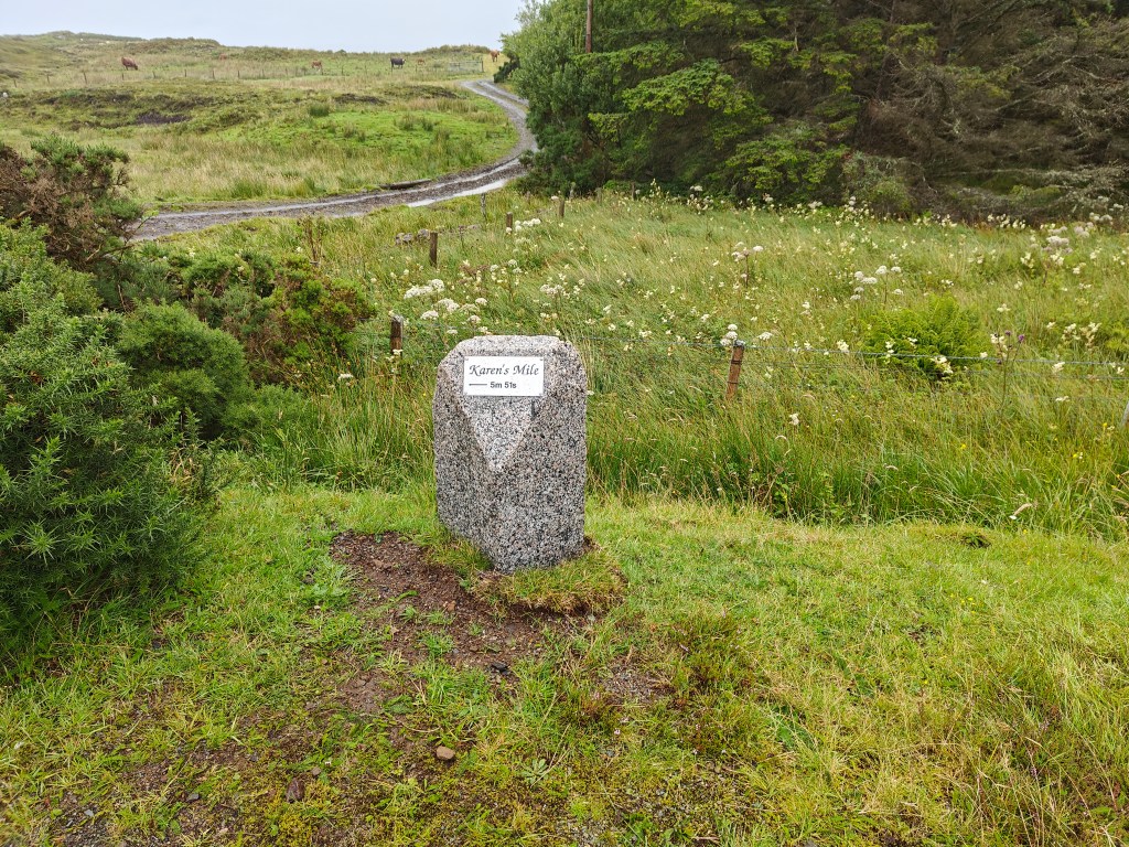
The roads that make up Brookside, where our trail begins, along with Clachamish and Fanks Road, are collectively known as Karen’s Track. This name honors the memory of Karen Macleod, a long-distance runner who lived in the area. You can see a tribute to her in the Gallery below, where an image of a stone marking “Karen’s Mile” is displayed. Karen Macleod represented Scotland in the marathon at the 1994 Commonwealth Games in Victoria and later at the 1996 Atlanta Olympics.
Widely regarded as one of the finest athletes to emerge from the north of Scotland, Karen Macleod reached the pinnacle of her career with a personal best of 2:33:16 at the 1994 Commonwealth Games.
Gallery


The Walk
For this walk, you have the option to park near Lyndale Lodge, but I highly recommend starting near Tayinloan Lodge as described below. This alternative route ensures you won’t miss the delightful forested paths that are part of the experience.
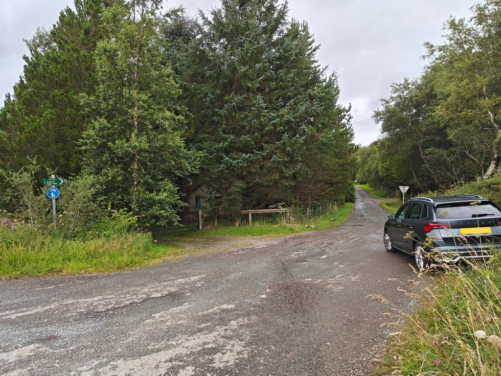
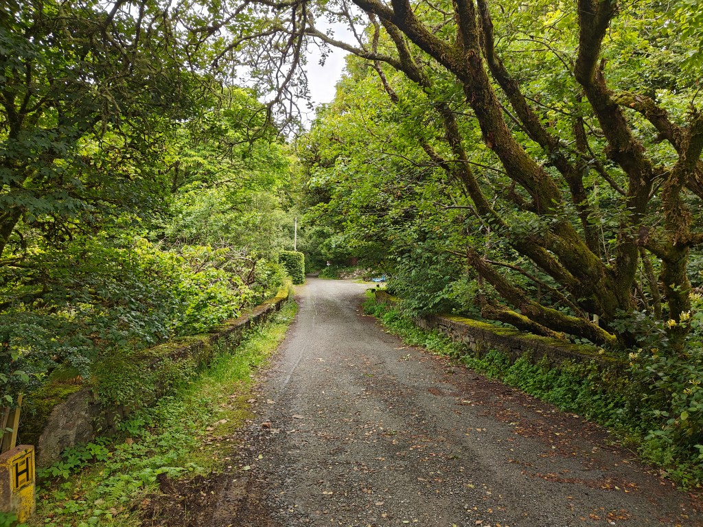
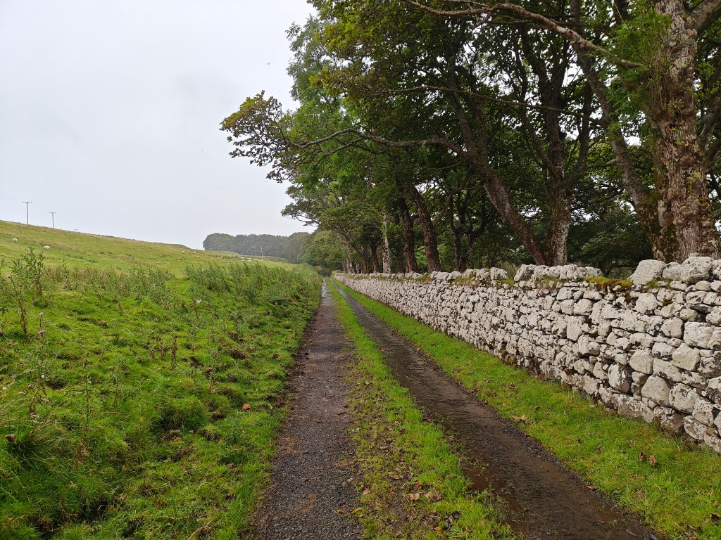
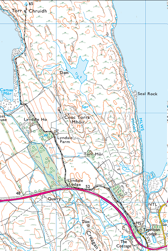
The journey to the Trig Point begins from a small turnoff on the A850, onto a road called Brookside. When parking, ensure your vehicle doesn’t obstruct other cars entering the road. Look for the green signpost marked ‘Fanks 2.7km’. Follow the road as it winds past a few houses, crosses a small bridge, and leads you onto a serene, forested path. Eventually, you’ll come to a fork; take the right-hand path, steering clear of the main road.
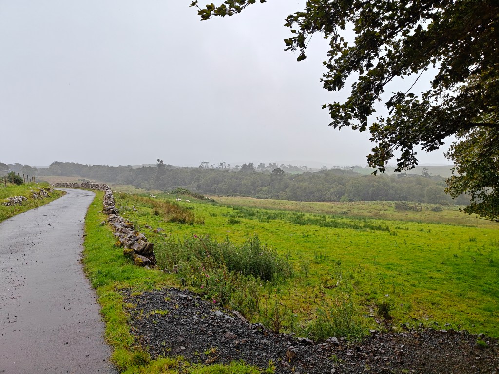
At the next junction, turn right again, avoiding the main road, then take another right, following the signs towards Lyndale Farm. You’ll cross a cattle grid as you continue along the road.
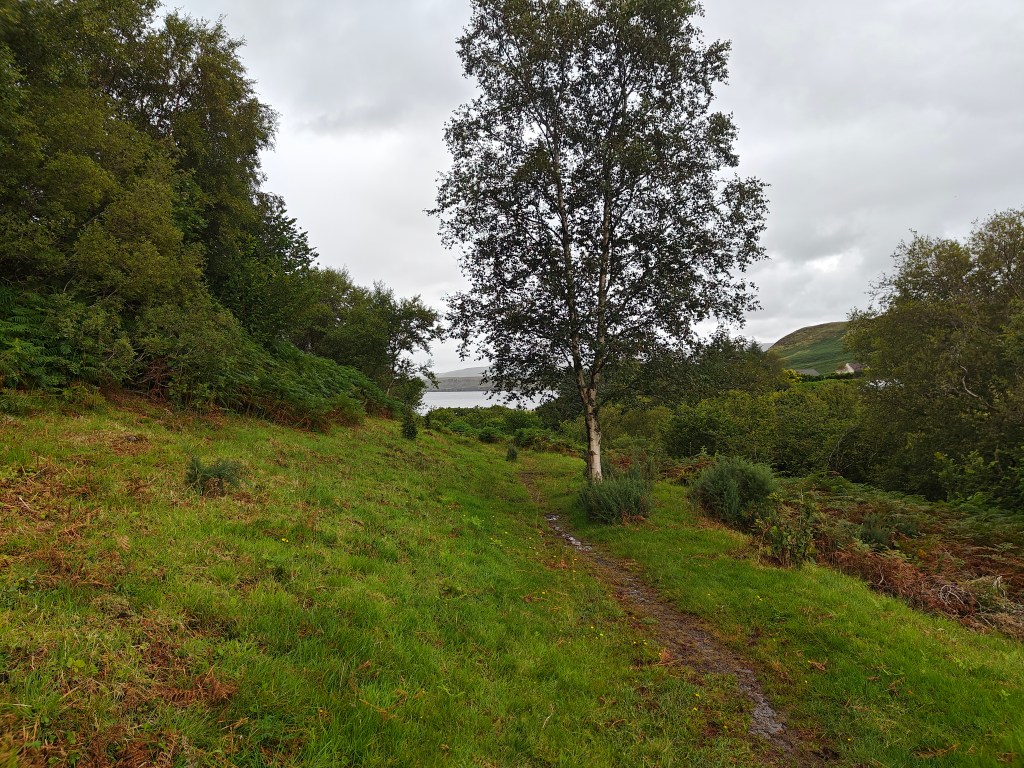
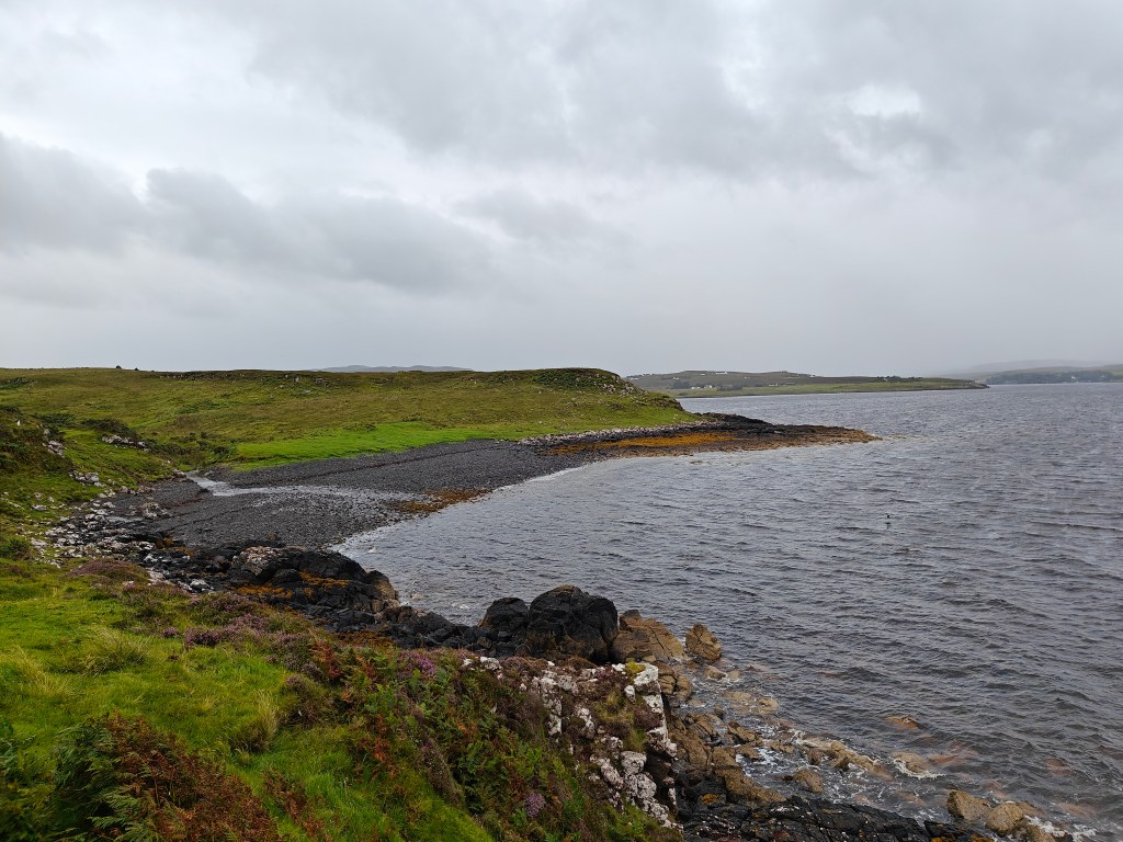
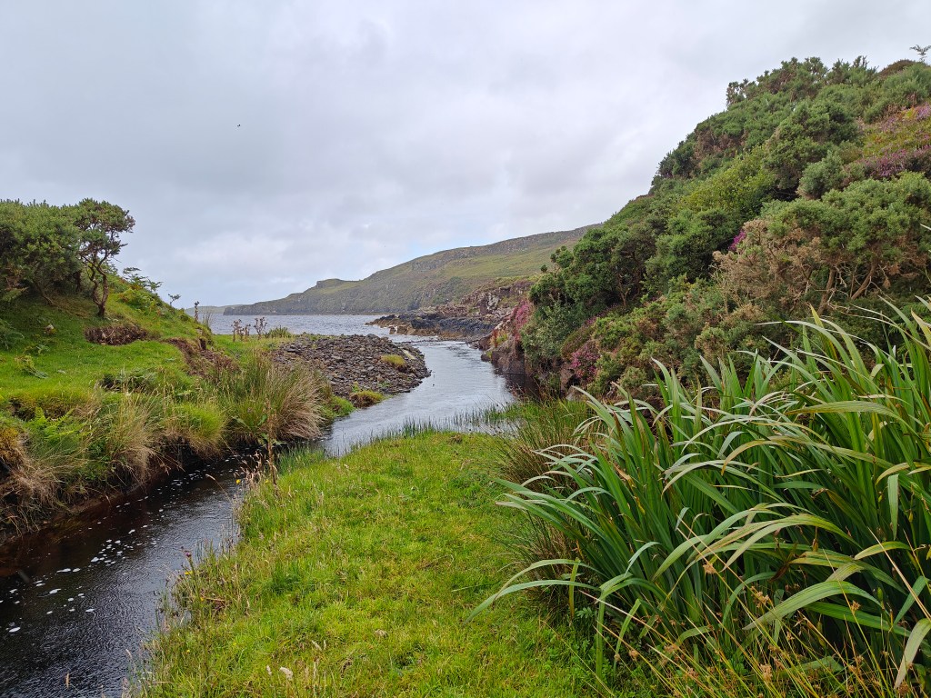
Keep following this road until you reach the tranquil Camas Mor (“big bay” in Gaelic). Here, you’ll notice a ruined building on your right and a gate ahead. This gate marks the start of your walk northward along the seaside.
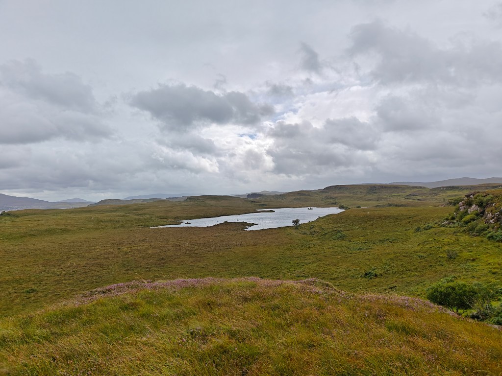
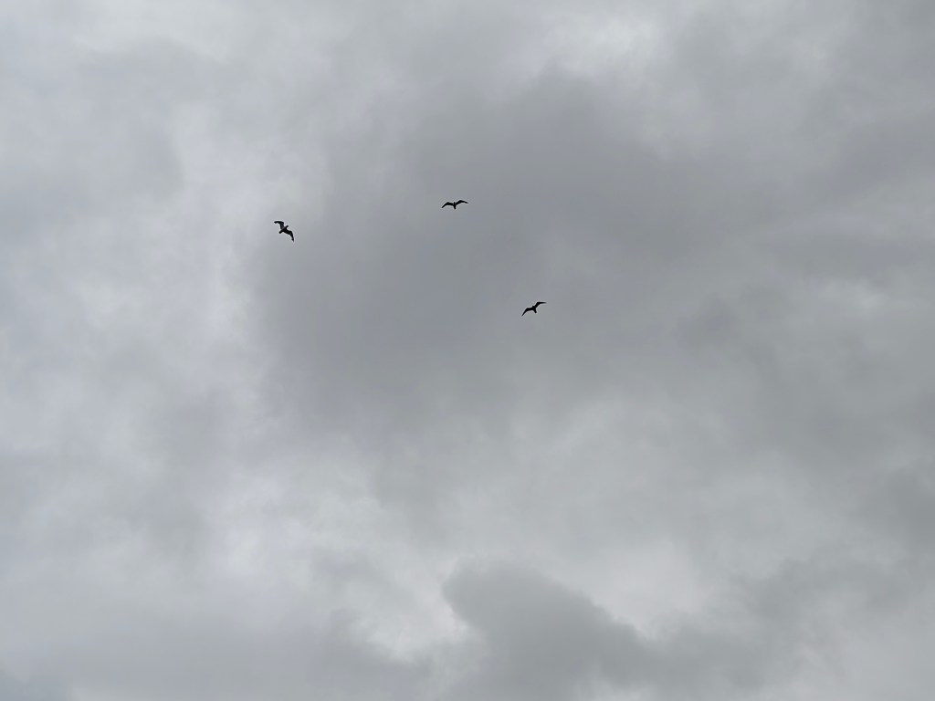
Pass through the gate and head due north, tracing the coastline along sheep trails and grassy paths. Soon, you’ll come across a cobblestone beach. At this point, turn slightly inland to bypass a stream flowing from an unnamed loch to the east. This is an excellent location to spot several species of birds.
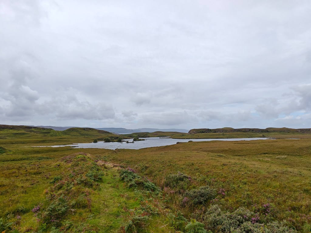
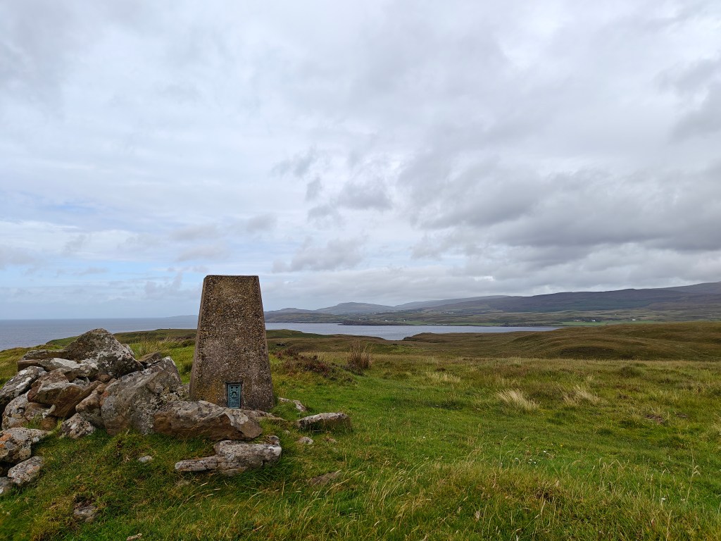
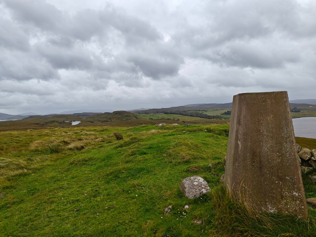
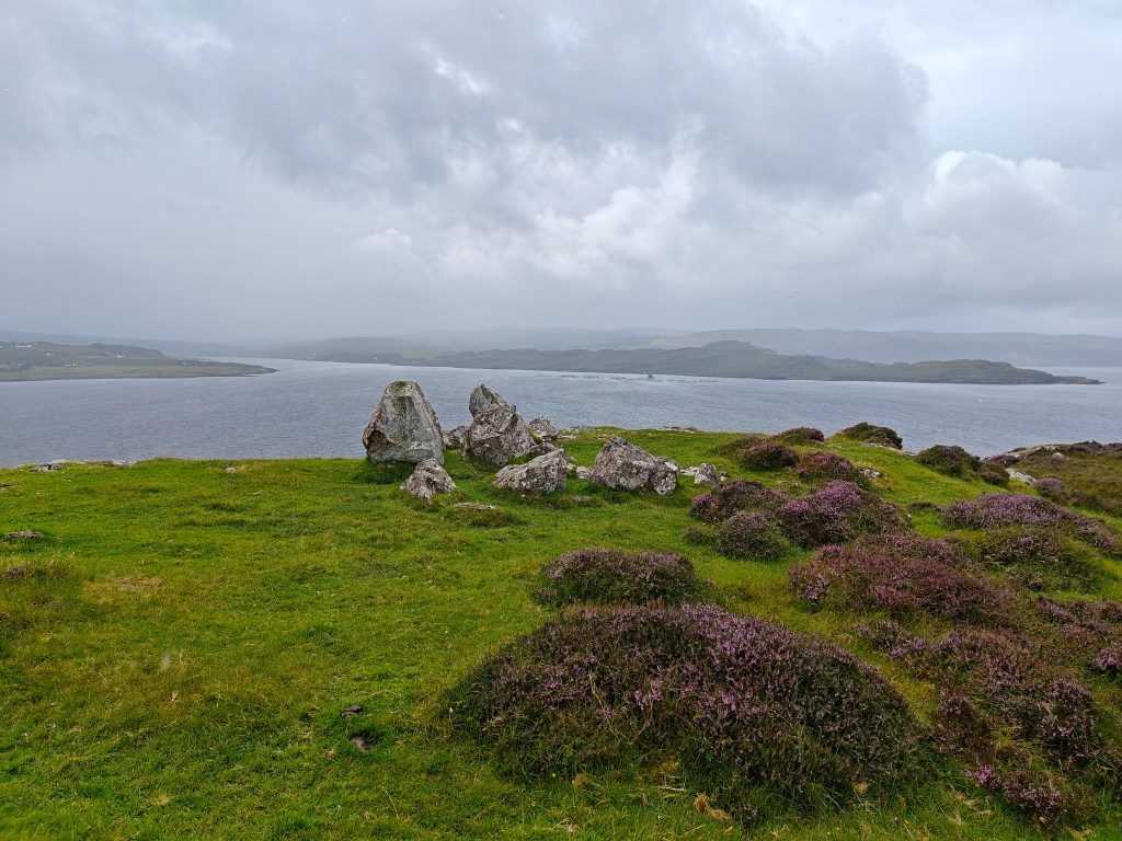
Continue your northward ascent, gradually climbing towards the Trig Point, which stands 65 meters above sea level.
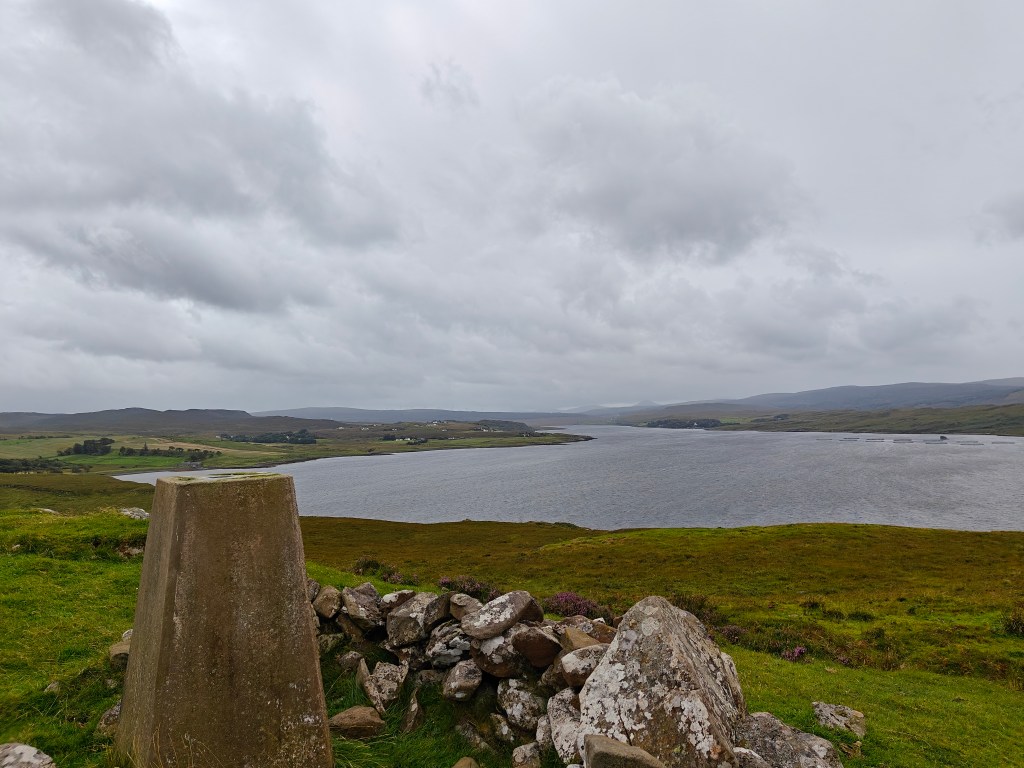
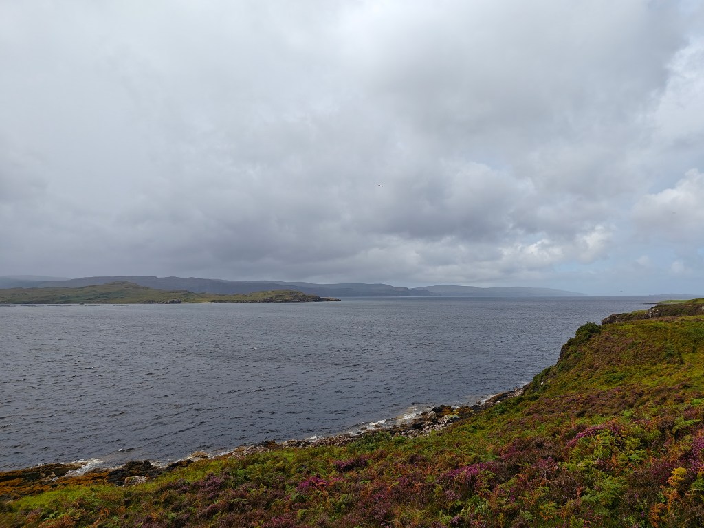
Once you reach the summit, you’ll be rewarded with breathtaking views of Loch Snizort. On clear days, you can even catch a glimpse of the distant Isle of Harris.
For an added treat, head southeast for a picturesque view of the unnamed loch before retracing your steps back to the starting point.


Leave a comment