| Altitude | 1,085 Feet |
| Trail Conditions | Long section of road with small verge, followed by uphill climb on well-establish trail, then boggy conditions until you reach road all the way back to starting point |
| Difficulty | Medium |
| Experience | 9/10 |
| Est. Time | 4 hours |
| Distance | 9-10 Miles |
| Starting Locations | Uig Community Hall Car Park |
History of the Local Area
In 1877, a great flood, caused by unusually heavy rainfall burst the banks of the Conan and Rha rivers that run through Uig (Norse for “Bay“), sweeping away the local graveyard and killing its caretaker.
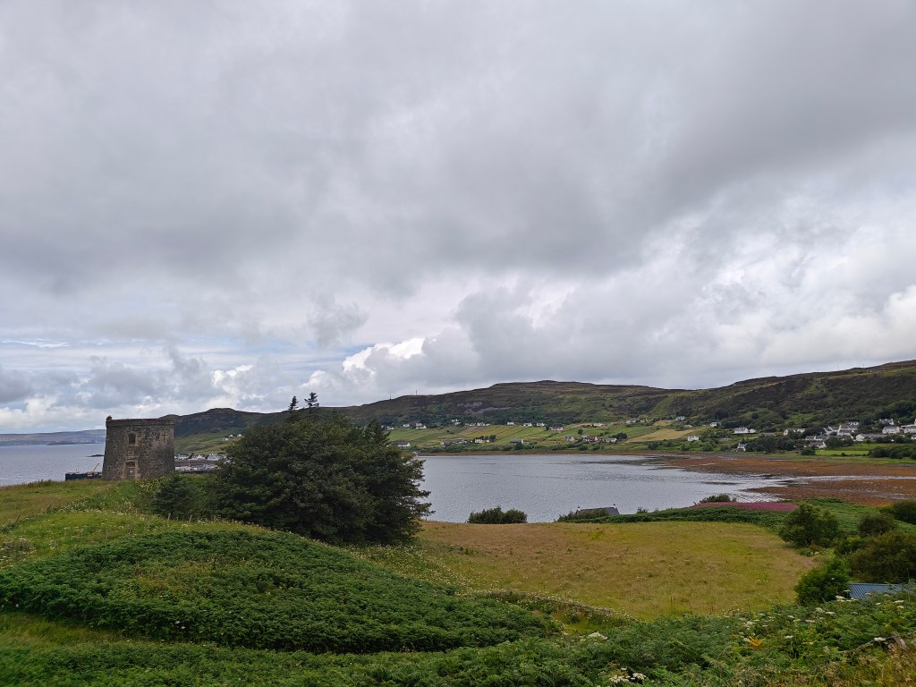
Captain Fraser’s Folly, the large circular tower spotted on your way out of Uig, dates back to 1860. It was built for Captain William Fraser, the owner of the Kilmuir Estate. Originally, it served as a place where tenants on the land came to pay their rents.
Fraser was a notoriously ruthless landlord, known for evicting numerous tenants to make room for sheep during the clearances. This led to a skirmish in which the Royal Navy was enlisted to help quell the rebelling tenants. The tenants are recorded as having won this confronation.
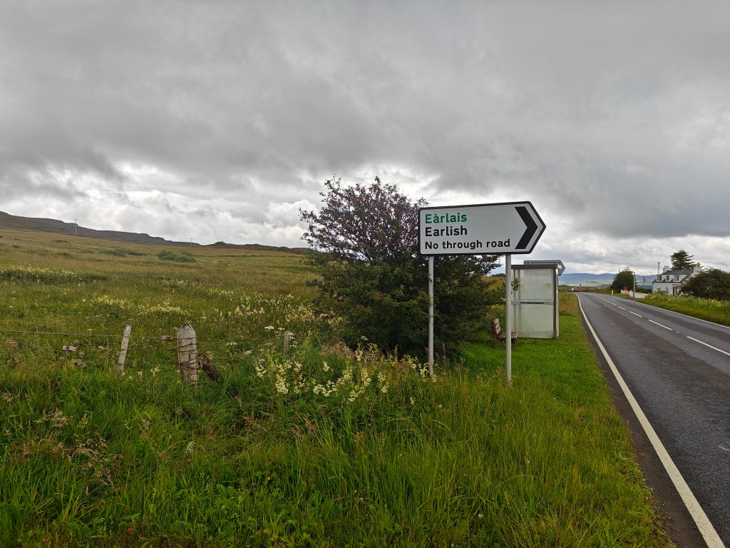
Earlish (“Strife Place” in Norse), a small village you pass on the journey, was once the site of a large crofting township. It comprised seventy-four roofed buildings and their associated enclosures and field walls. The township is documented as existing as early as 1560.
Lon Airigh Fhionnlaidh, which is the small stream that you navigate down after the Trig Point is interesting in that the only record of the ruins littering the area is the name which roughly translates to “Finlays Bothy”
The “Fairy Glen”, as it has become known as in recent years is a relatively recent place of importance, with no significant historical findings recorded in the immediate area.
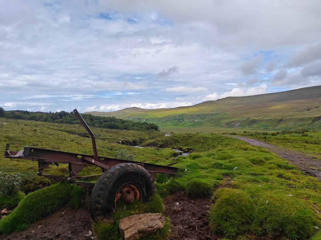
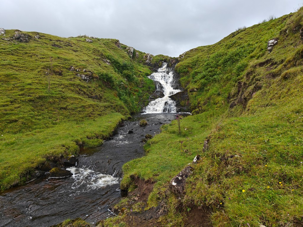
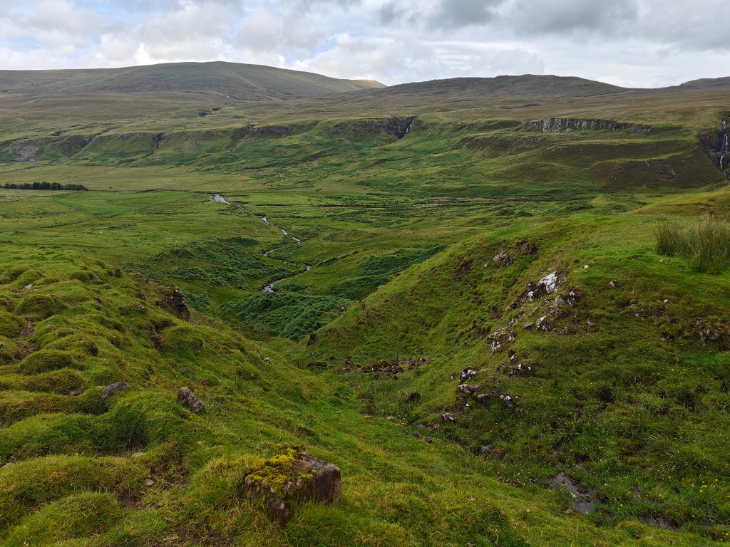
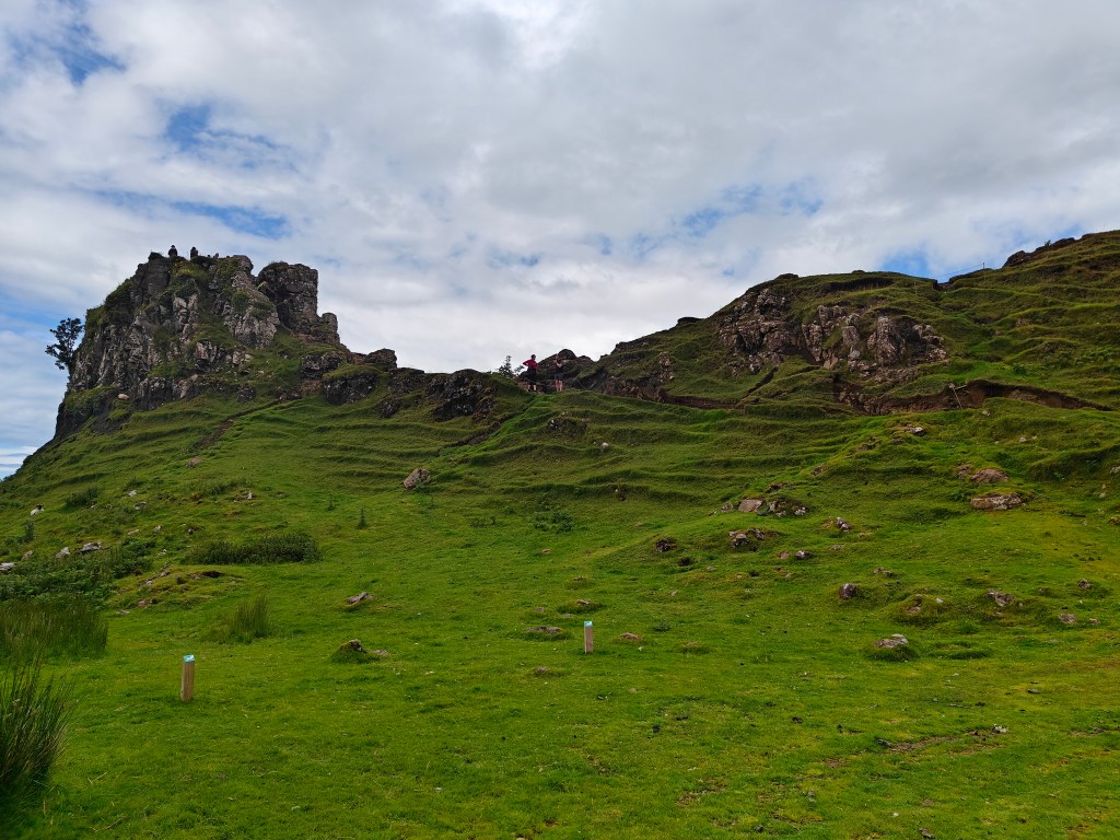
Gallery


The Walk
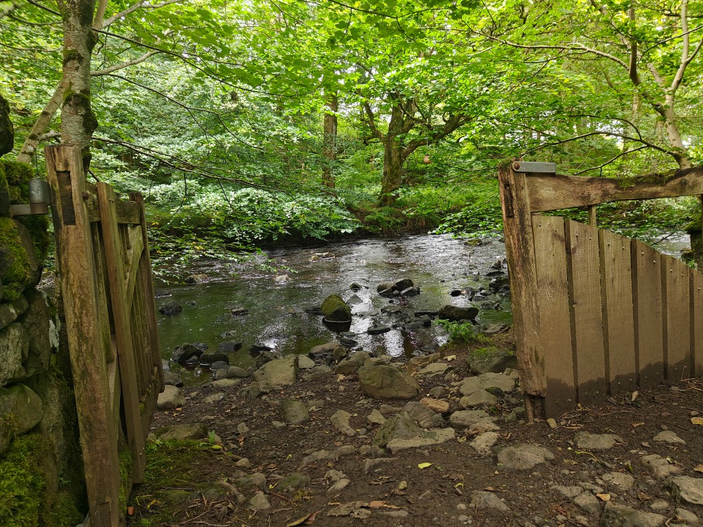
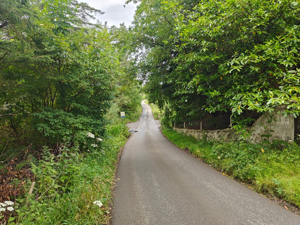
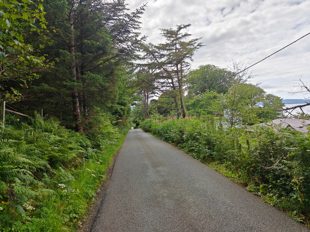
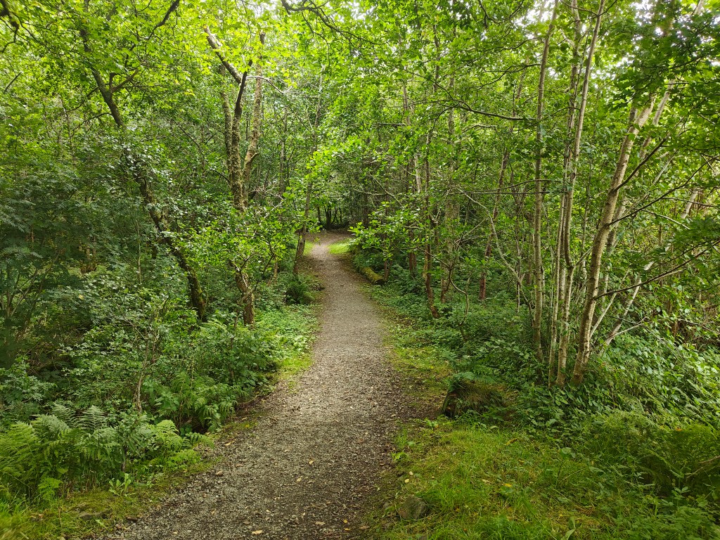
Begin your adventure at the Community Hall Car Park in Uig, conveniently located just off the well-signposted single-track road from the main route. Across from the Community Hall, enter the Uig Woodland Walk through the gate, towards the Conan Bridge. This delightful, albeit short, wooded walk is a really special start to the walk.
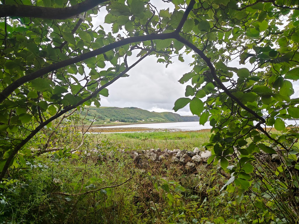
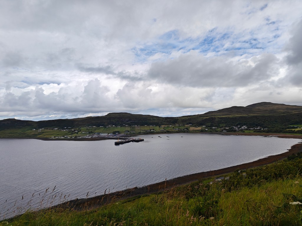
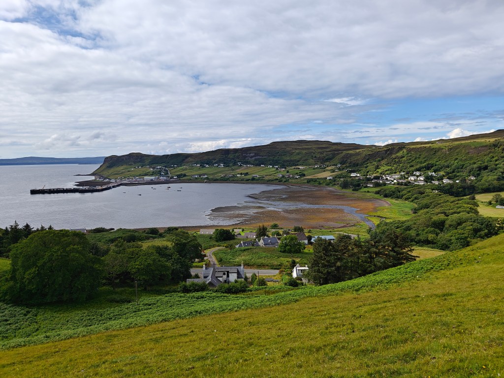
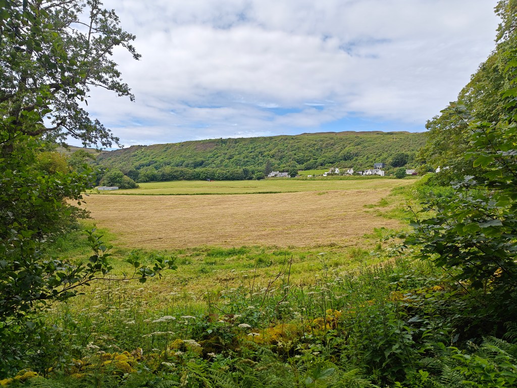
Upon reaching the main road, turn right and follow the pavement past notable landmarks such as the Uig Tower (also known as Captain Fraser’s Folly), and the Uig Hotel. Continue uphill until you reach a large layby viewpoint, offering a beautiful panoramic view of Uig across the bay. Exercise caution as you walk along the verge after the pavement ends, staying as far off the road as possible when cars are passing.
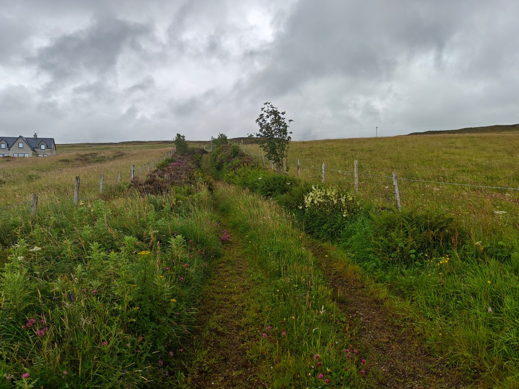
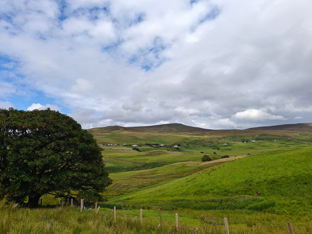
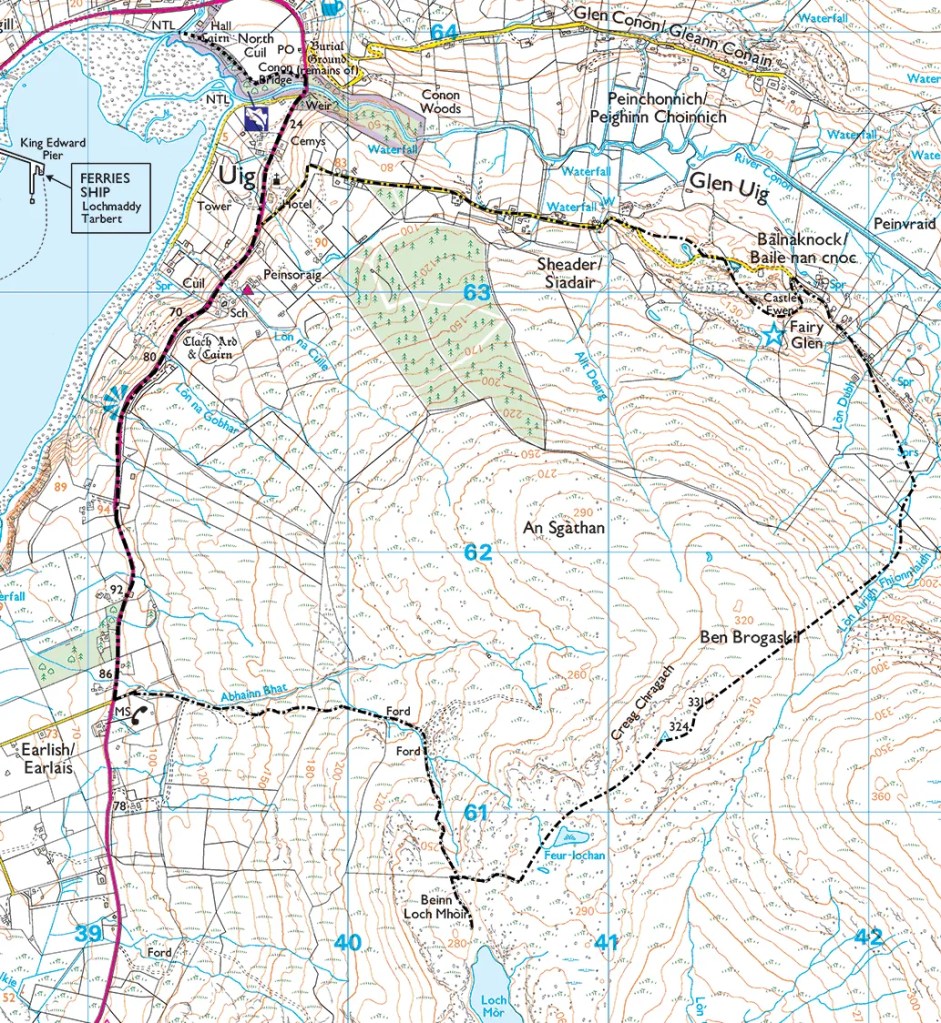
Proceed along the road until you reach a bus stop on the left and a signpost indicating Earlish to the right. Just before the sign, take the vehicle track up the hill on your left. Follow this track, passing through two gates, until you reach the 200-meter mark. Here, take the right-hand path heading directly south.
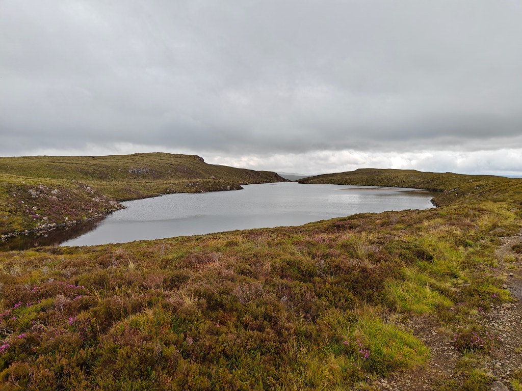
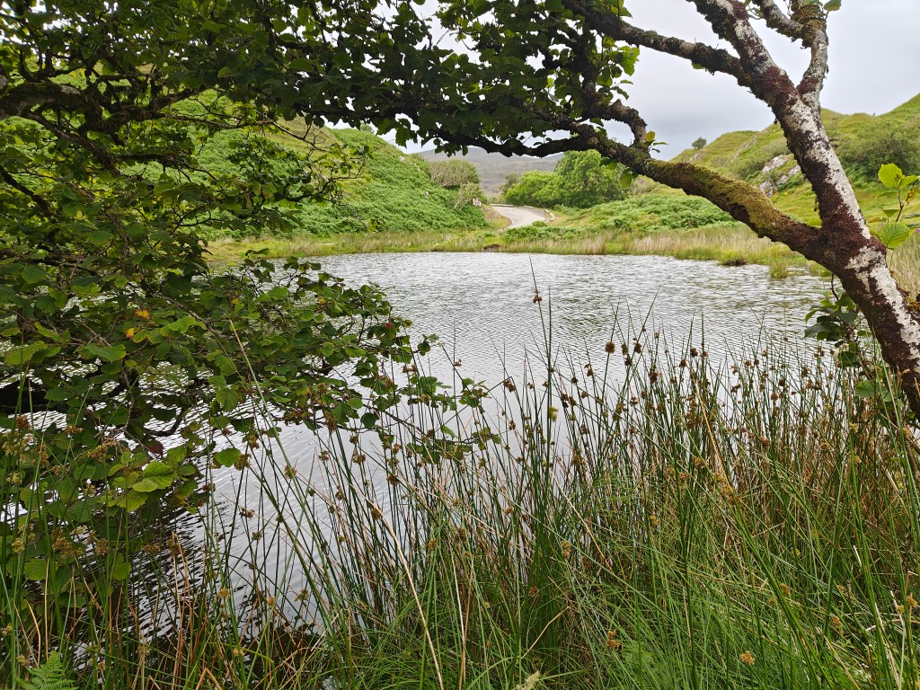
Soon, you’ll encounter an S-shaped bend in the track. A less defined trail goes up the hill to the left, while the main trail continues through the S. Following the main track south leads you to Loch Mor, a picturesque spot stocked with Rainbow Trout and well worth a visit.
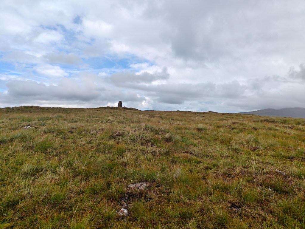
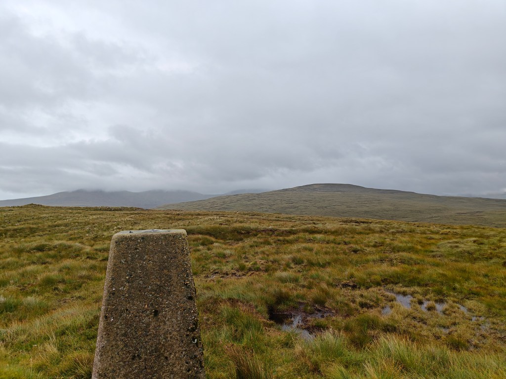
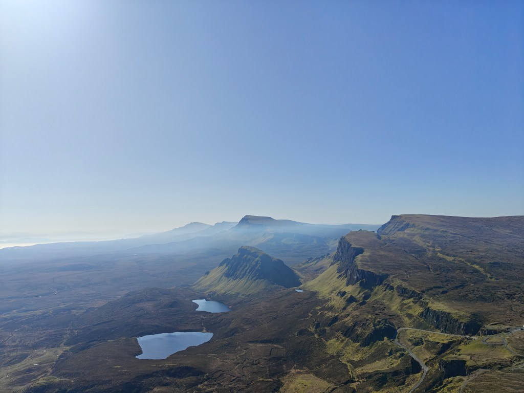
Return to the S in the trail and head east, ascending the hill. This section is the most challenging due to extremely boggy conditions. Navigate carefully, keeping the Trig Point visible ahead for most of the way.
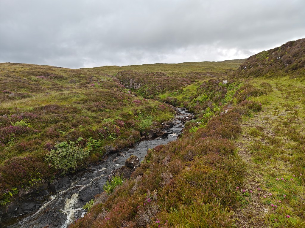
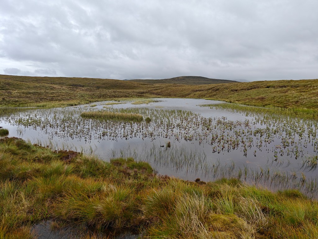
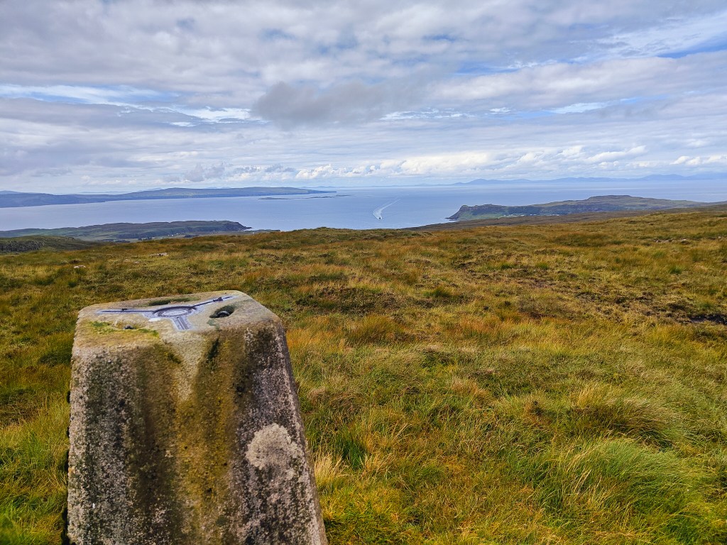
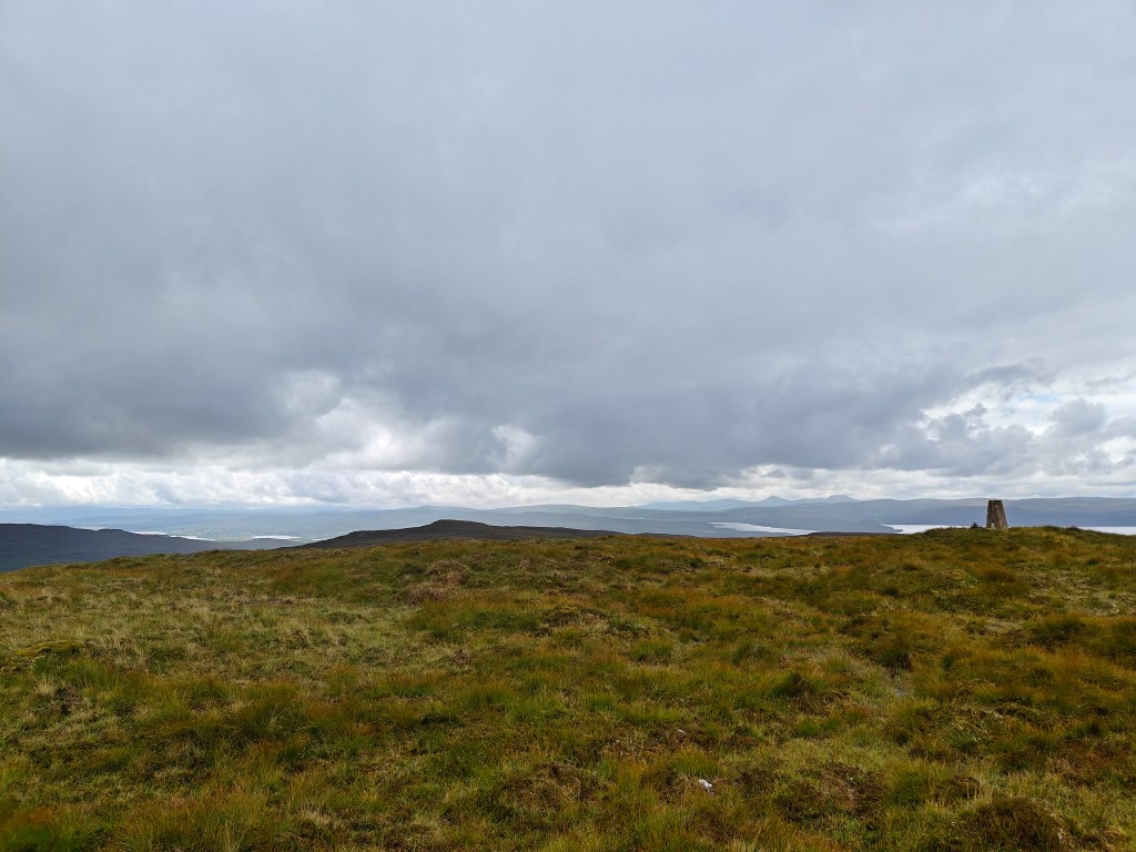
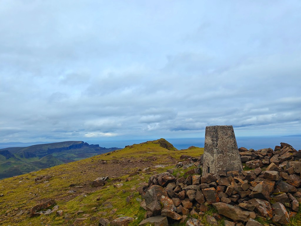
Continue towards a small loch called Feur-lochan (meaning “grass lake” or “pasture loch” in Gaelic) as marked on OS Maps. Skirt the north-west side of the loch and continue towards the Trig Point near the summit of Ben Brogaskil on Creag Chragach (meaning “craggy rock” in Gaelic).
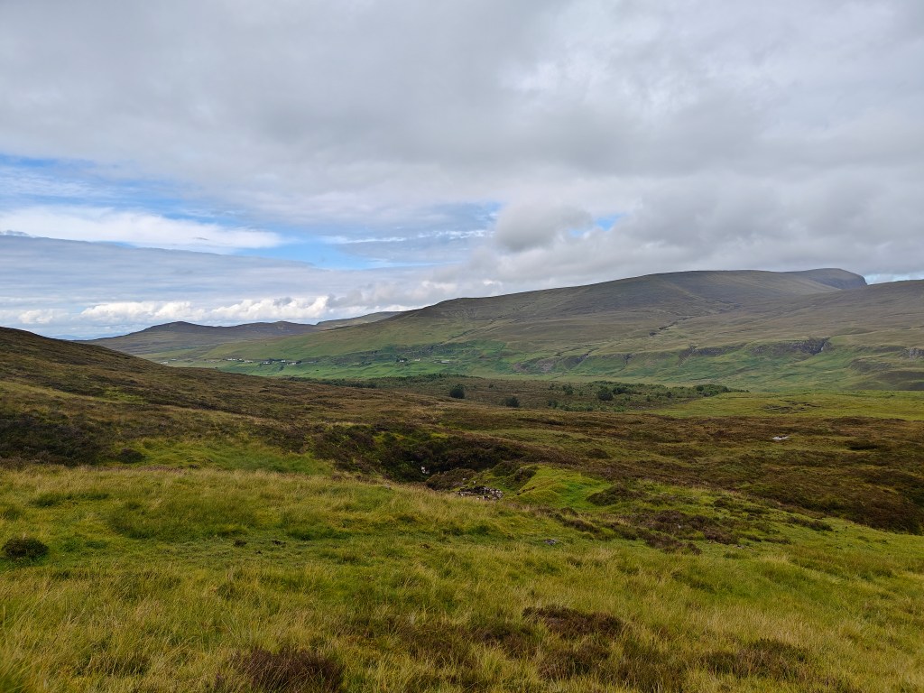
From the summit, head northeast towards Glen Uig. Aim for Lon Airigh Fhionnlaidh (“Finlay’s Bothy” in Gaelic), the largest tributary leading to the river in the glen. This area features several house ruins not shown on the first edition OS Map (1879), nor on any subsequent maps.
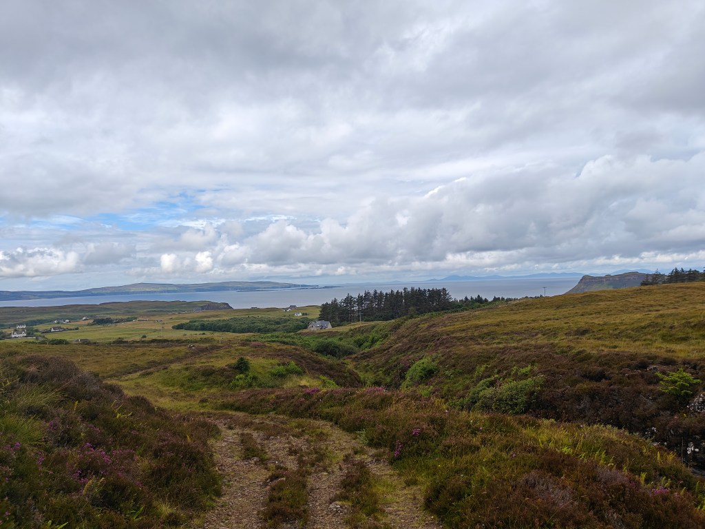
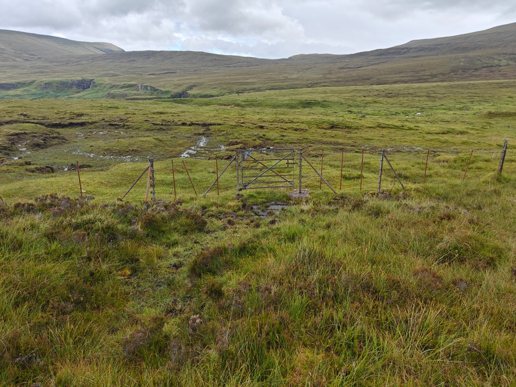
At the base of the hill, pass through a small iron gate and follow the fence left until you reach a dirt road. Just across the road is a large waterfall worth exploring. Follow the road through several gates, ensuring you close them behind you, until you reach the Fairy Glen and Castle Ewen (a notable rock formation). This popular tourist destination is well worth navigating through.
From the Fairy Glen, follow the road or tracks northwest back towards Uig. It’s a short walk from here. Backtrack along the main road to your starting point at the Community Hall Car Park to complete your journey.


Leave a comment