| Altitude | 856 Feet |
| Trail Conditions | Starts with a short road, followed by a Quad track to the initial escarpment. Spongy Bogs otherwise. |
| Difficulty | Medium (Due to ground conditions) |
| Experience | 5/10 |
| Est. Time | 2-3 hours |
| Distance | 4-5 Miles |
| Starting Locations | Turnoff from Braes road shortly after Conordon sign. Shown as Dunlist Bed & Breakfast entryway. |
History of the Local Area
Located six miles southeast of Portree, this district was the site of the last battle fought on British soil. In the 1880s, local tenants faced a rent increase as their land lease was about to expire. Although they agreed to the higher rate, their landlord decided not to renew the lease.
Frustrated by being prohibited from grazing their sheep on the shores of Ben Lee, the locals took matters into their own hands and released their livestock onto the restricted slopes. When the sheriff’s officer arrived to evict the dissidents, he was met by an angry mob who forced him to burn the eviction notices.
In response to the unrest, 50 policemen from Glasgow were sent to Skye to quell the Braes rebellion. They encountered 100 men, women, and children armed with sticks and stones. The ensuing conflict resulted in the conviction of several Braes crofters. This confrontation prompted the establishment of a commission to investigate and discuss the grievances of the crofters.
Just South-West of Loch Fada, which is passed during the trek was the location of an archeological dig in 1946 of a potential hoard, which unearthed a Socketed axe dating back to the Bronze Age – 2400 BC to 551 BC.
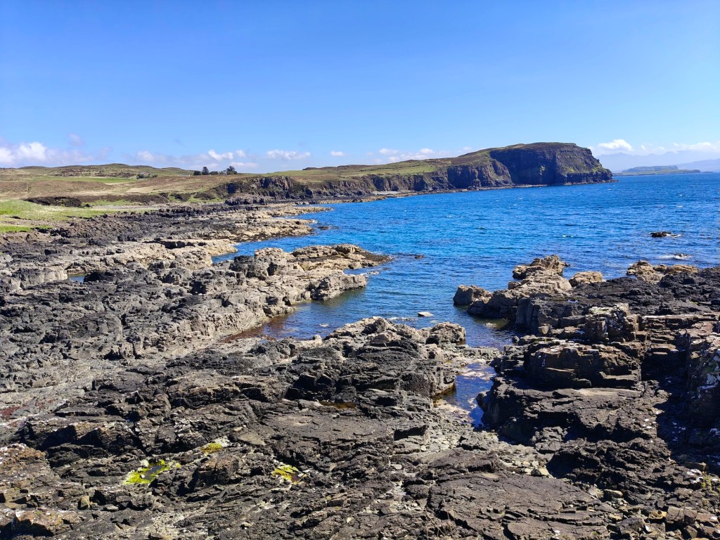
Gallery


The Walk

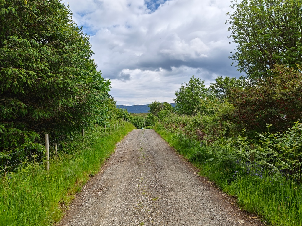
The walk to the Beinn nan Capull Trig Point starts from a small double set of private roads leading to B&Bs on the Braes road, shortly after the Conordon sign. At the time of writing, the driveway was marked with a sign saying ‘Dunlist,’ which is a B&B at the end of the road. There is plenty of room to park a car or two at the entryway without impeding traffic.
As you walk up towards the B&B, you’ll pass several fields of alpacas, a delightful and unexpected sight on Skye. Continuing past the alpacas, you’ll find a gate up the hill to the right, which provides access to the hillside.
After passing through the gate, follow the well-defined quad bike trail that heads south (left as you go through the gate). This trail leads to the top of the first escarpment, making the initial ascent much easier.
From the end of the quad tracks to the Trig Point, there are no defined trails. Although I chose to go south around Loch Fada, you could equally go north around the loch, which might be slightly drier. The loch itself is stocked with fish and is home to a wide range of birds.
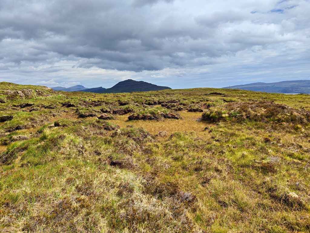
I navigated to the Trig Point via the northern route shown on the map above, mainly attempting to follow high ground to avoid particularly wet areas. Regardless of which route you take, the ground is boggy, covered in heather, and often very spongy underfoot, making the trek more challenging. It may be worth attempting this walk after a week or so of warm weather to improve walking conditions.
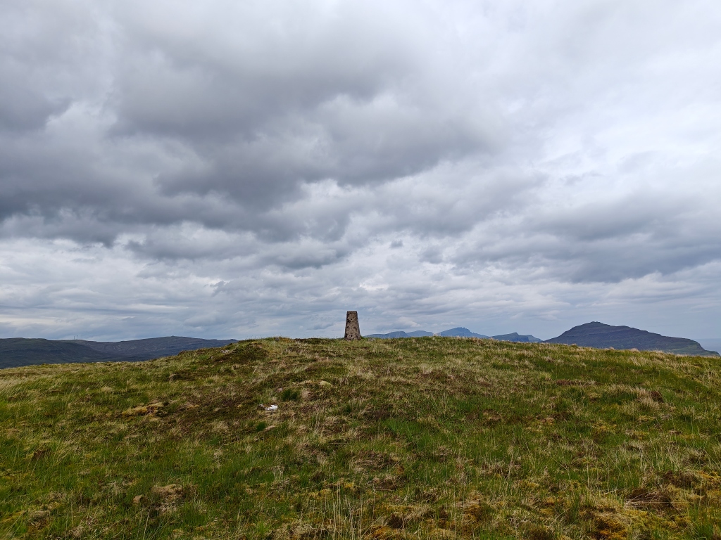
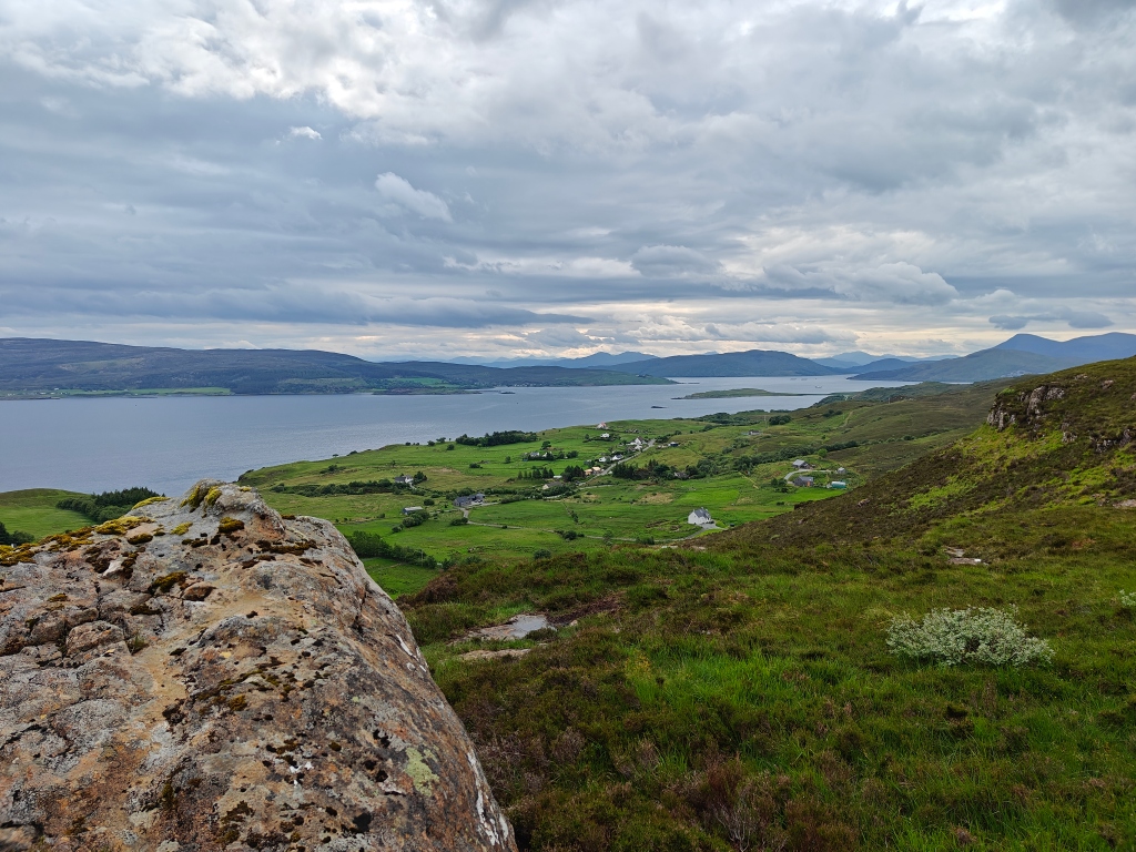
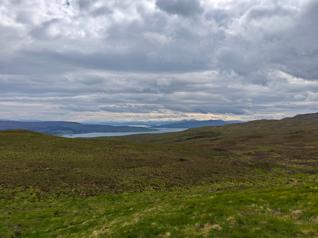
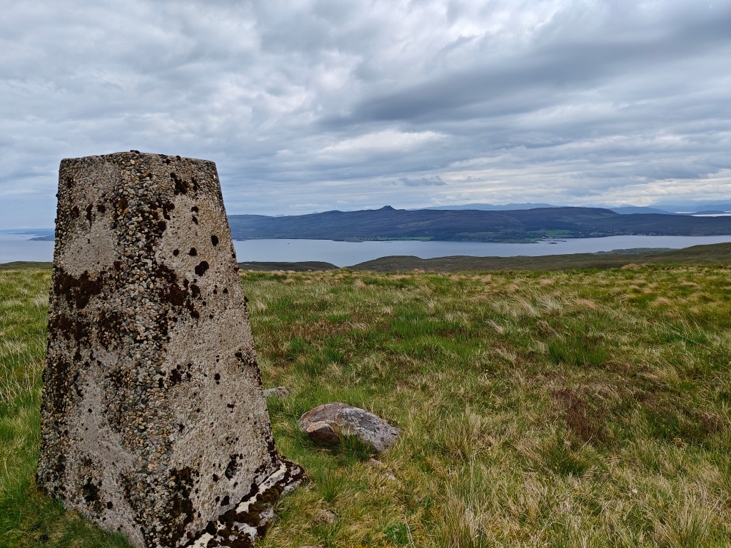
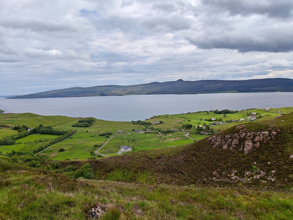
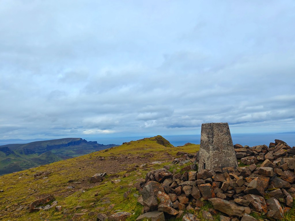
The Trig Point itself is situated on a short hill overlooking the surrounding areas to the east, south, and west. While it may not offer many photographic opportunities, it does give impressive views of Raasay. Several rocky outcroppings near the Trig Point make for a good place to rest before starting the journey back.
On the return leg, I mostly followed the terrain with the aim of reaching the ridgeline to the east for better views of the Braes region. However, you quickly encounter a large deer fence that blocks the route. I ended up following it back to a similar route as my initial ascent.
Based on existing guidebooks, you may be able to follow the deer fence to the south instead, which would lead back to the main road. From there, you can follow the road back to your starting location.
Enjoy your hike to Beinn nan Capull Trig Point, where every step offers a new perspective on the stunning landscapes of Skye.


Leave a comment