| Altitude | 1,368 Feet |
| Trail Conditions | Minor road to mobile tower followed by no defined trail to Trig Point |
| Difficulty | Low |
| Est. Time | 2-3 hours |
| Distance | 4 Miles |
| Starting Location | Glenmore road – Skriaig mast walk |
History of the Local Area
Glenmore has been inhabited since at least 1560 AD. The 1st edition of the Ordnance Survey map from 1881 shows thirty-one roofed structures, indicating a once-thriving community.
While detailed information about Glenmore itself is scarce, the nearby settlement of Mugeary, located just past Glenmore at the end of the road, offers a fascinating glimpse into the region’s history.
The remnants around Mugeary croft hint at a vibrant settlement that suffered greatly during the Clearances, a period that brought significant hardship to many areas of Skye. Historical records from the 1850s document such events in the parish of Snizort, highlighting the struggles faced by the local population.
The Royal Commission on the Ancient and Historical Monuments of Scotland (RCAHMS) has identified an ancient field system to the northwest of the current farm buildings, dating back to before 1881. Another account refers to this area as a crofting “township,” reflecting its past as a bustling community.
Additionally, the local area is renowned as the location where the basaltic rock mugerarite was first identified, adding a unique geological significance to Mugeary’s historical importance.
Exploring Glenmore and Mugeary provides a window into the past, revealing the resilience and history of these communities amidst the beautiful landscapes of Skye
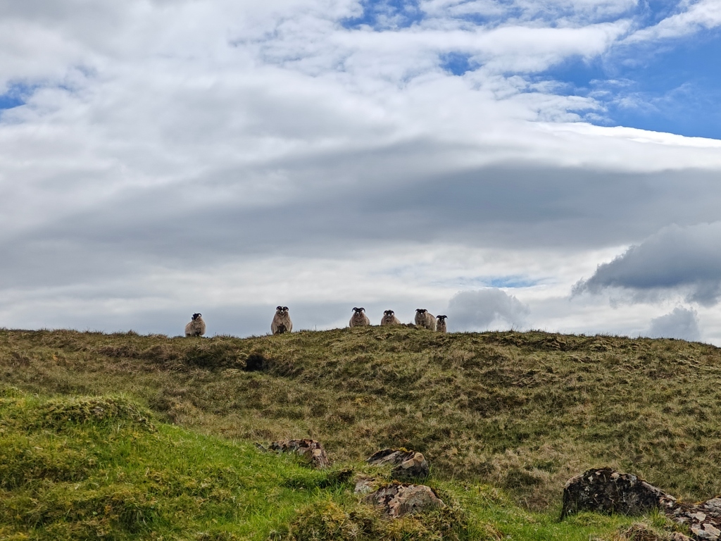
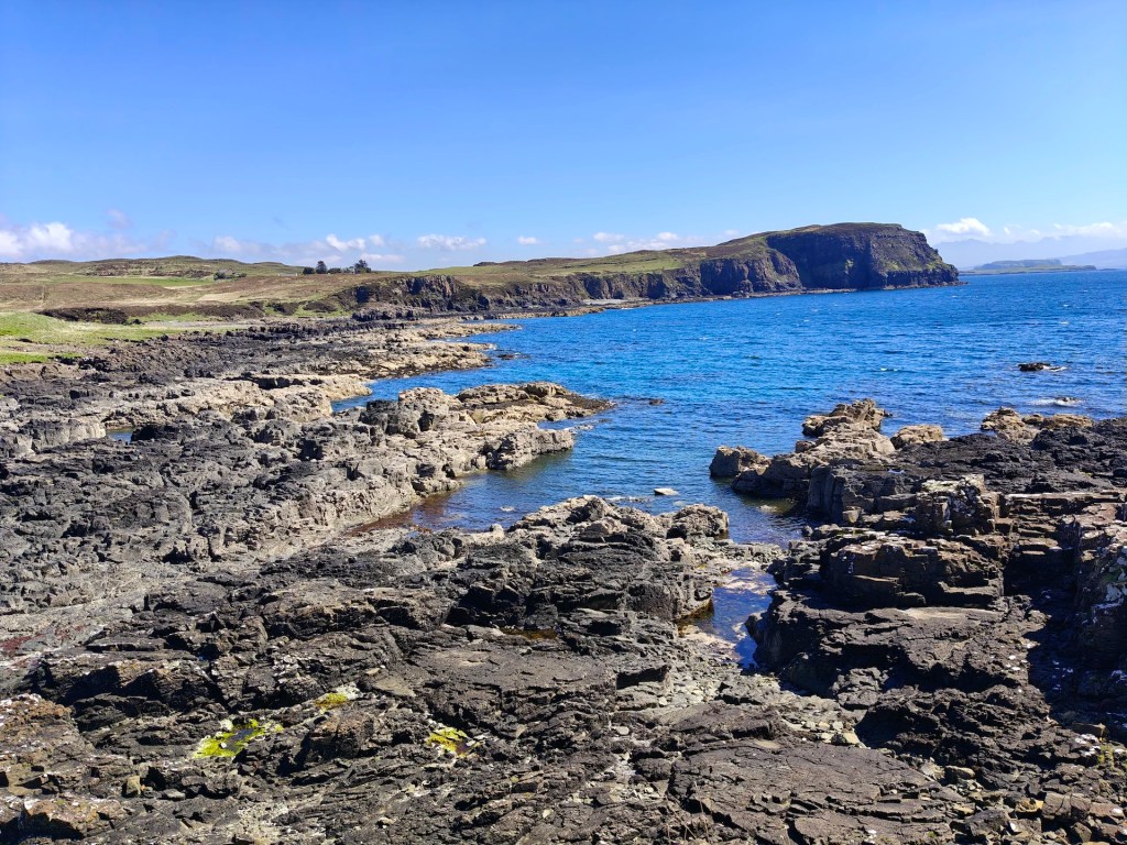
Gallery


The Walk

The walk to the Trig Point begins from the main road to the village of Glenmore (Gaelic for “Big Glen”), located a short distance from Portree. This route is commonly known as the “Skriaig Mast Walk” on many maps.
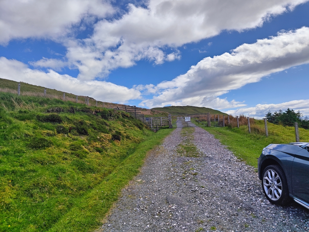
While it is possible to drive directly up to the antenna tower at the top of Skriaig, the road has gravelly sections and significant potholes. Therefore, I highly recommend starting your walk from the main road. The starting point is marked by a gate with a sign reading “Private Road – Gate to be locked,” as shown in the gallery below.
As you follow the road towards Skriaig, you’ll encounter a fork. Although some guides suggest taking the left fork, I found that heading right towards the antenna tower at the top of the hill is simpler. This route allows you to follow a defined road for a good portion of the walk, followed by a short trek across bracken along the ridgeline straight to the Trig Point.
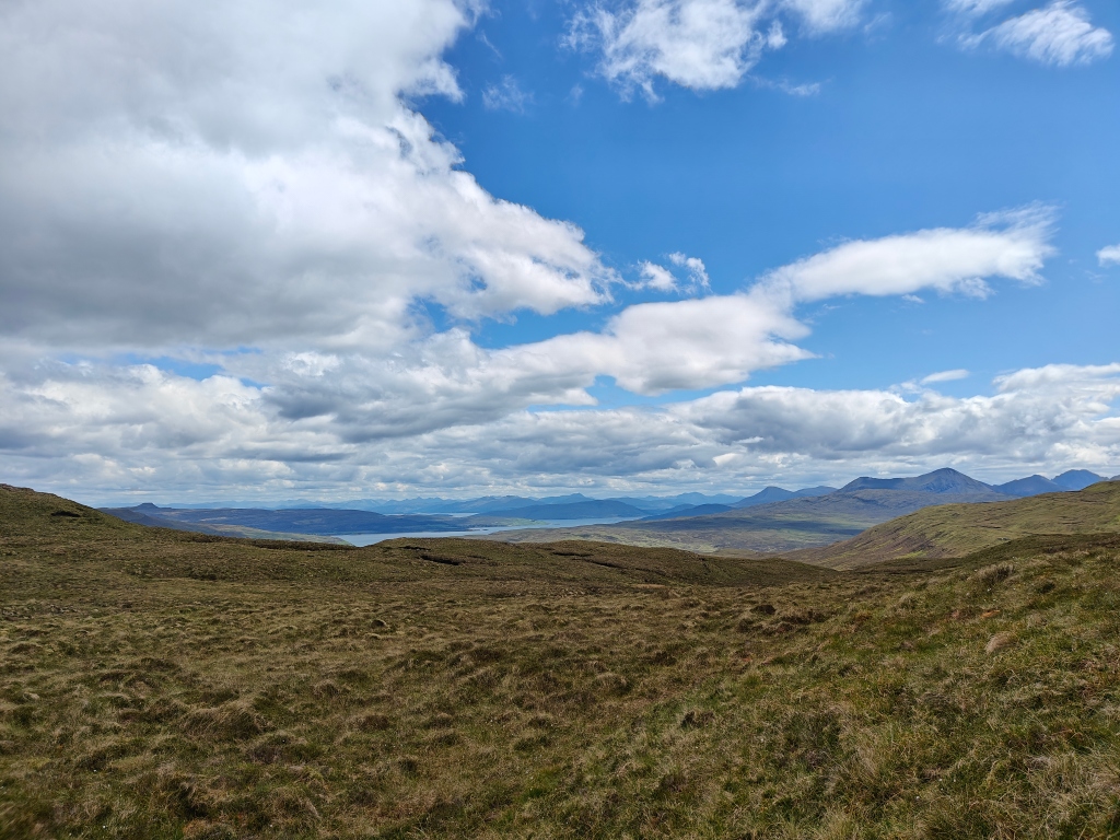
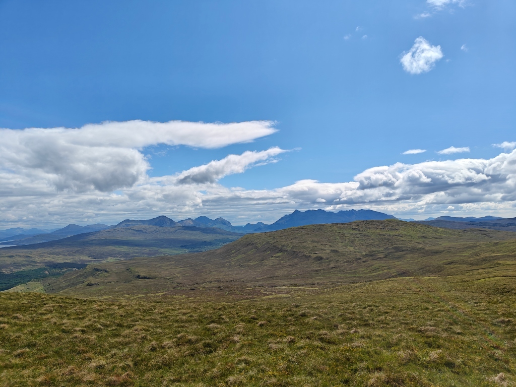
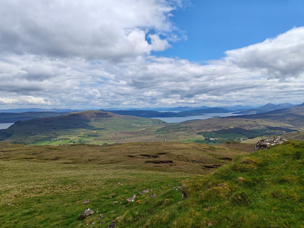
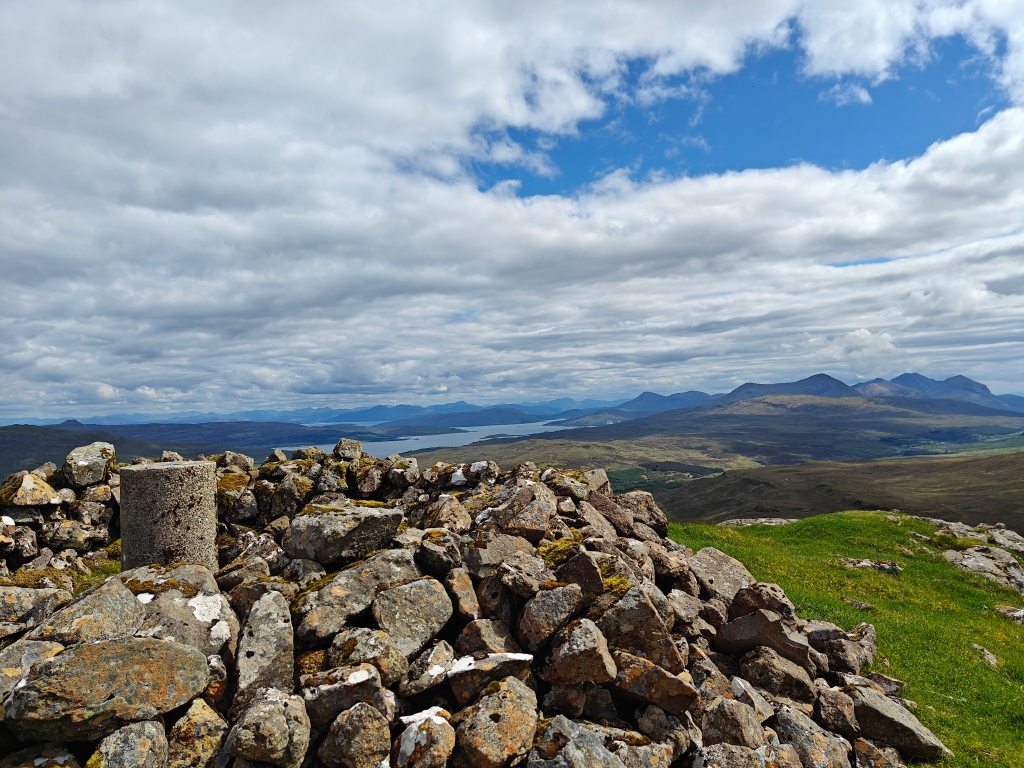
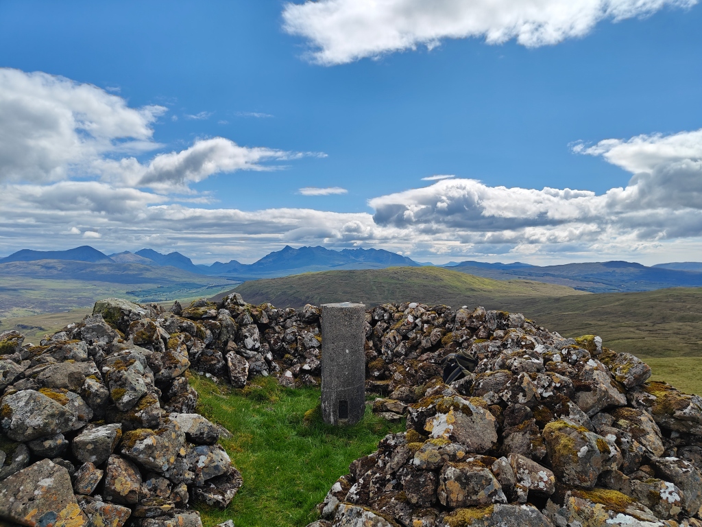
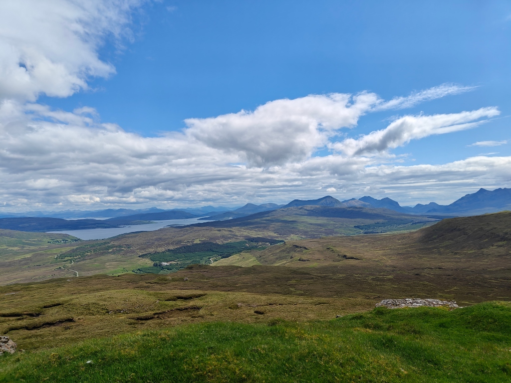
Along the road section, you’ll be treated to brilliant views of Glen Tungadal below Glenmore and the Cuillin Ridge, with occasional vistas across to Loch Bracadale and the Struan area
Regardless of the direction you choose at the fork, you’ll eventually reach the end of the road. From here, the remainder of the walk involves traversing spongy bracken until a short uphill section approaching the Trig Point. You can avoid many of the wet boggy sections by carefully choosing your route and following the ridgeline as much as possible.
During the final stretch across the bracken, you’ll enjoy stunning views of Camustianavaig and Raasay to the east and the Sligachan area with Glamaig to the southeast.
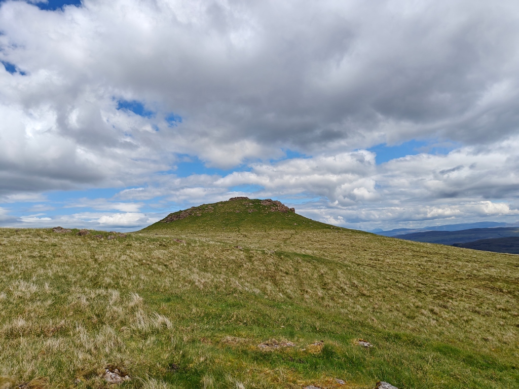
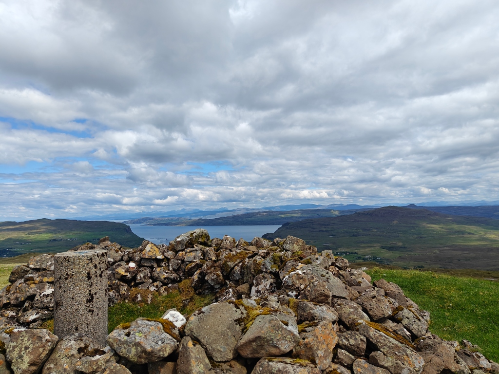
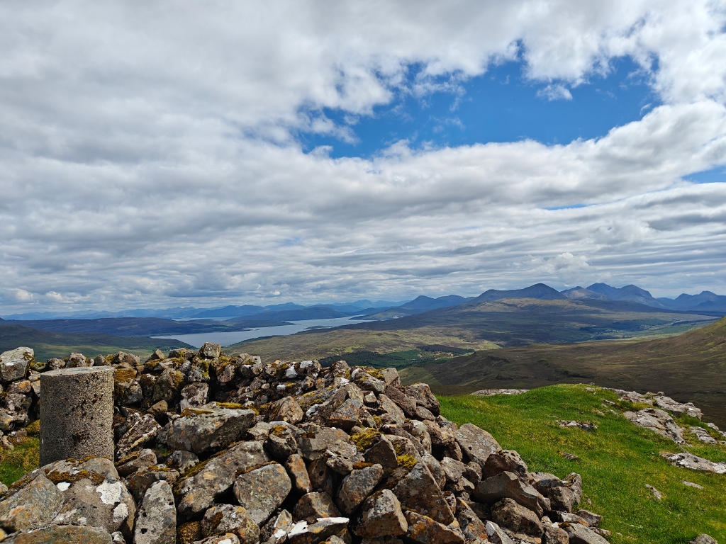
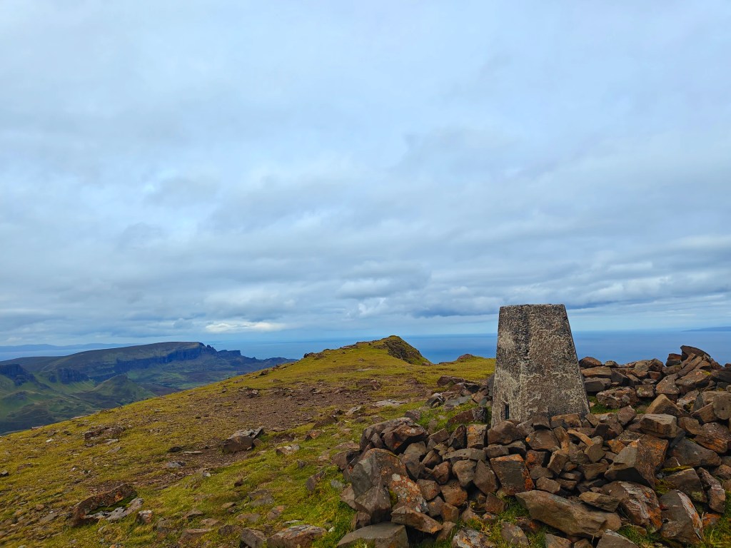
On the final approach to the Trig Point, you’ll climb a steep hill to reach an intriguing stone circle built around the pillar at the highest point in the area. This spot is perfect for a break out of the wind and offers a stunning location for photography.
For the return trip, simply follow the same path back to the starting point.


Leave a comment