If you’ve ever wandered through the British countryside, chances are you’ve come across a curious concrete pillar, often perched on a hilltop or a mountain. These structures are known as “trig points” or “triangulation pillars”, and they hold a fascinating place in the history of mapping and geography in the United Kingdom.
The Origin of Trig Points
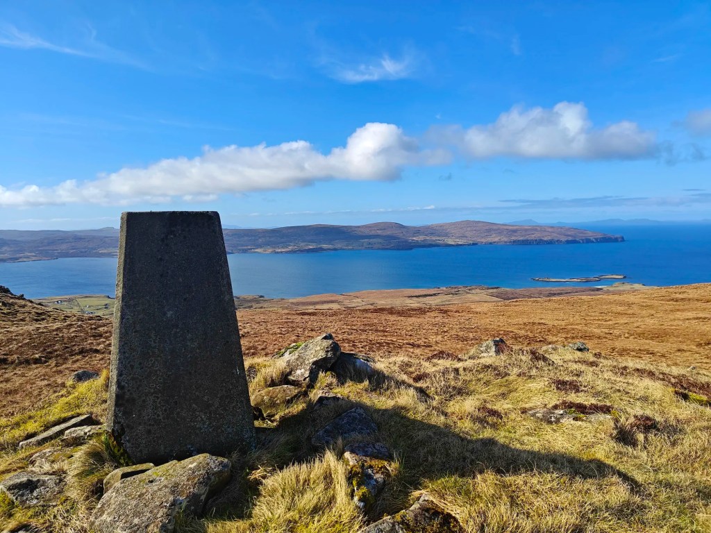
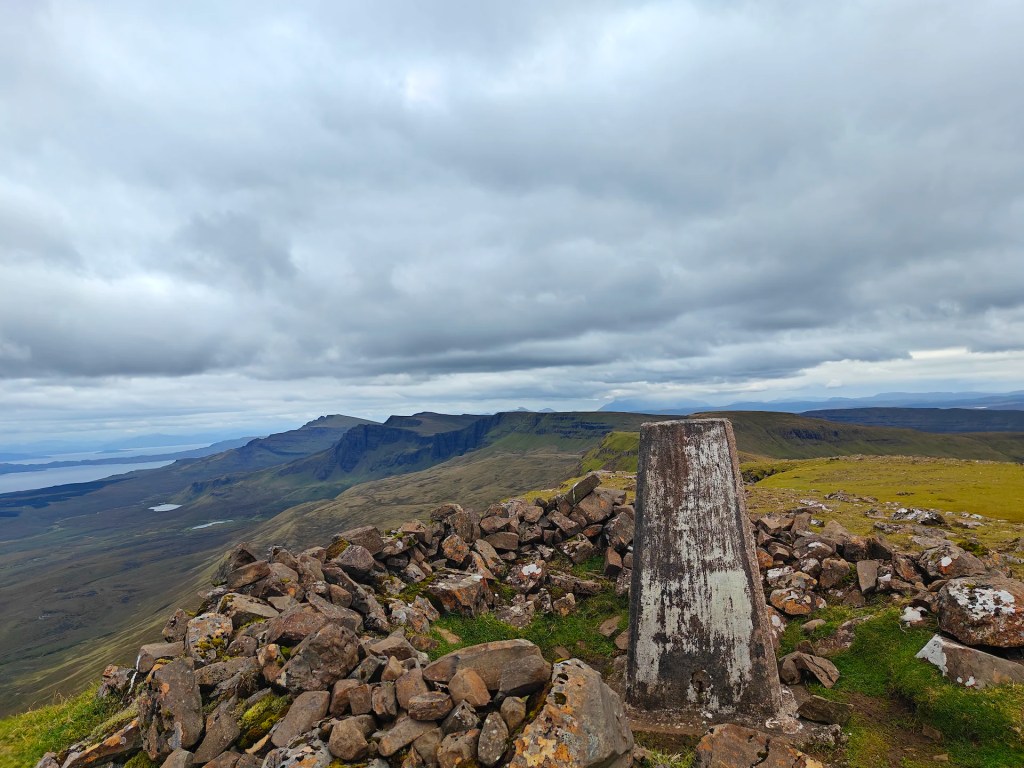
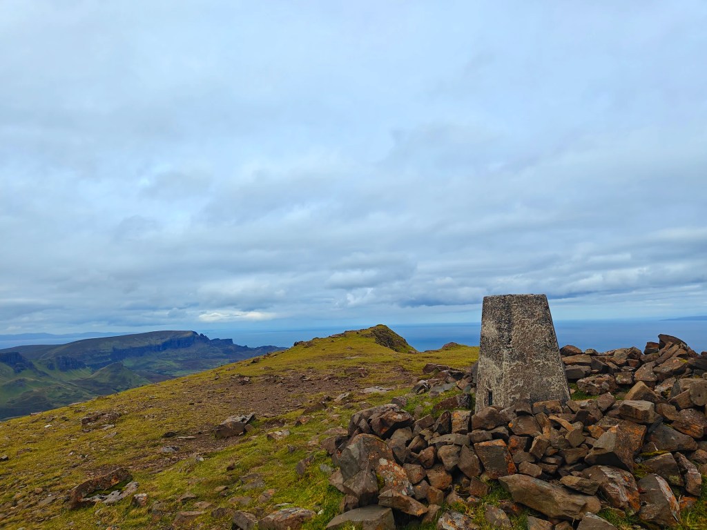
Trig points were part of the Ordnance Survey’s (OS) effort to create accurate maps of the UK. The project began in 1936 and was known as the Retriangulation of Great Britain. Before this undertaking, the maps of Britain were not as precise as they needed to be, especially for military and civil engineering purposes.Each trig point is a concrete pillar, usually about four feet high, with a metal plate on top featuring three arms (forming a triangle). This plate is where surveyors would mount their theodolites, which are precision instruments used for measuring angles in the horizontal and vertical planes.
How Trig Points Worked
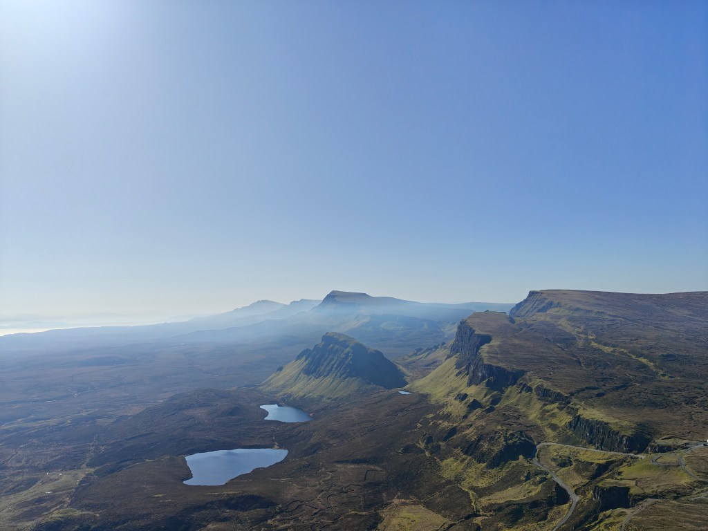
The process of triangulation involves creating a network of triangles. Surveyors would use the trig points to measure angles from one point to another across long distances. By doing this from multiple locations, they could calculate exact positions and distances with great accuracy. This network of triangles would span the entire country, providing a detailed and accurate map.Trig points were strategically placed on high ground to ensure visibility between them, sometimes resulting in their being located in remote and scenic places. In total, about 6,500 trig points were built across the UK
The Role of Trig Points Today
With the advent of modern technology such as GPS, the traditional use of trig points for mapping has largely been rendered obsolete. However, these pillars remain a beloved part of the British landscape. They are often sought out by hikers and walkers, who enjoy the challenge of reaching them and the spectacular views they often provide.Trig points have also become a part of a popular pastime known as “trig bagging.” Much like peak bagging, where enthusiasts aim to climb all the peaks in a certain list, trig baggers aim to visit as many trig points as possible.
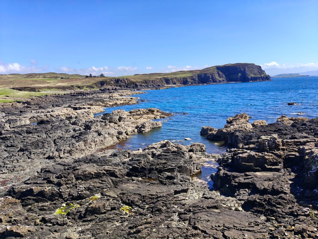
Trig Points on the Isle of Skye
The Isle of Skye, with its rugged terrain and stunning landscapes, is home to 56 trig points. Each one offers unique perspectives of the island’s natural beauty, from dramatic coastlines to towering peaks. For those who embark on the journey to visit all 56, it is not just a test of endurance and navigation but also a way to deeply connect with the diverse environments of Skye.
Final Words
Trig points may no longer be at the forefront of technological mapping, but they continue to serve as historical markers, navigational aids, and points of adventure for outdoor enthusiasts. Whether you’re a seasoned trig bagger or someone new to the concept, visiting these pillars offers a tangible link to the history of British cartography and a unique way to explore the natural world. So next time you find yourself on a hilltop in the UK, keep an eye out for these enduring symbols of geographic precision and adventure.


Leave a comment